
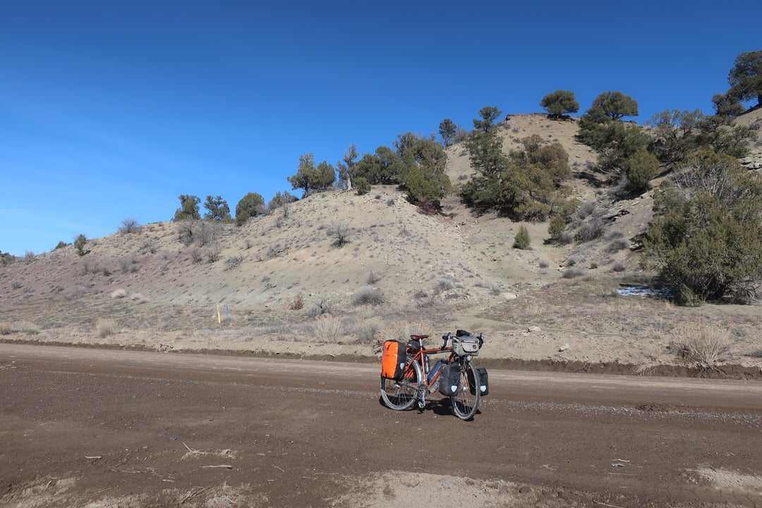
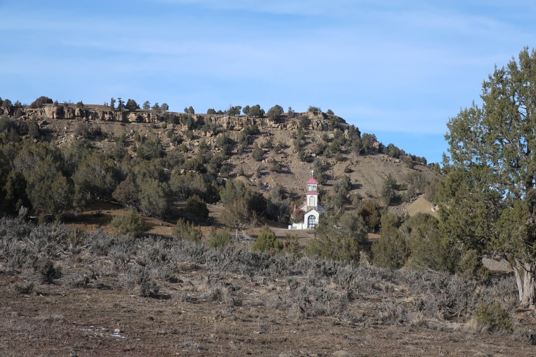
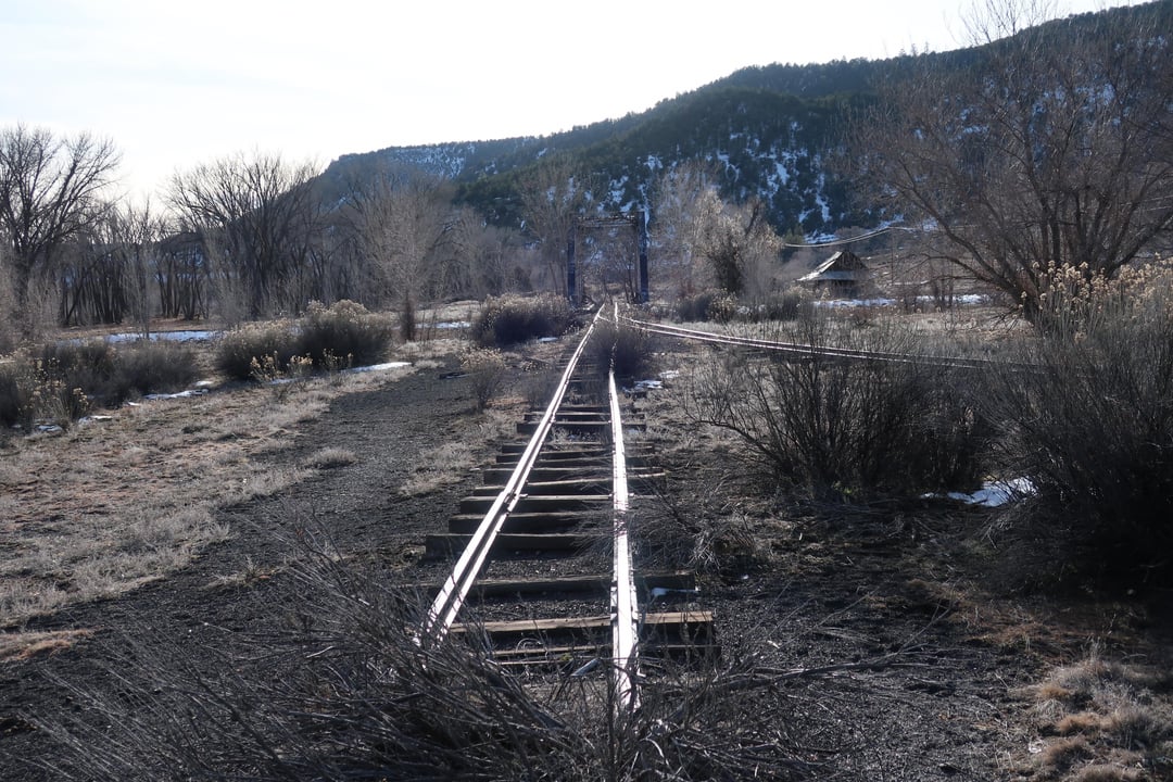
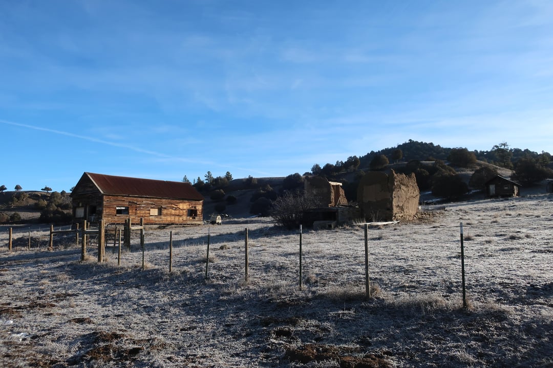
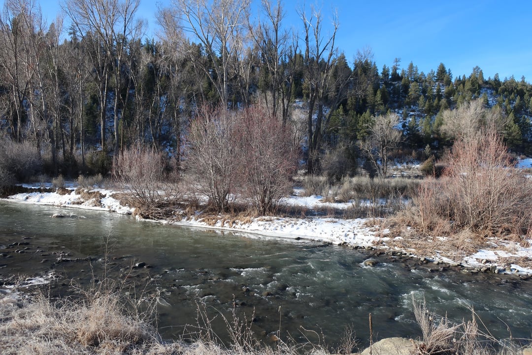
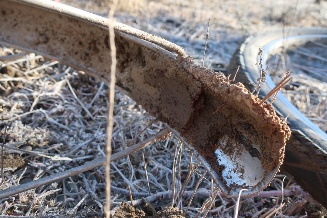
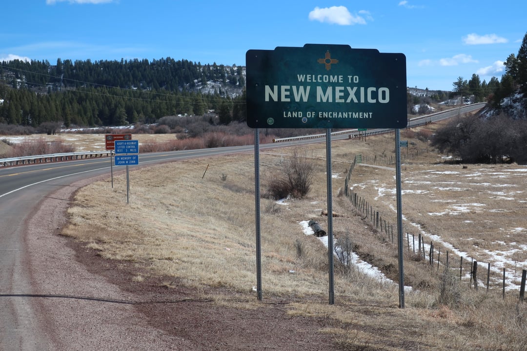
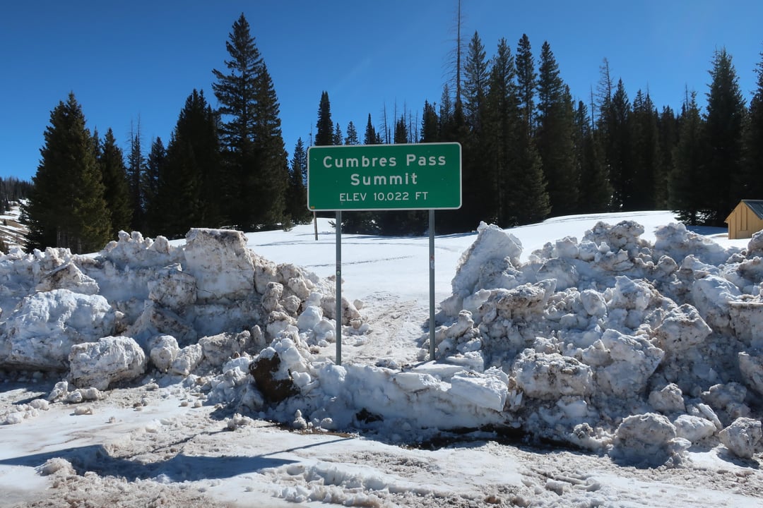
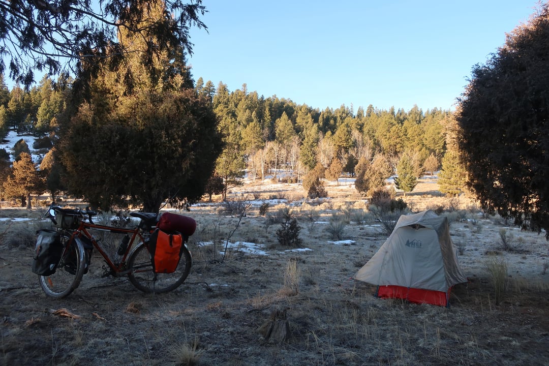
I tried, and mostly succeeded, to ride along the Navajo River through the Southern Ute and Jicarilla Apache reservations, but as I climbed, the road got muddier. I made it to within about 10km of the pavement on the other end, but had to turn back. So I took the highway, sadly. Then through Chama, over Cumbres and La Manga passes, and down into the San Luis Valley.
by HackberryHank
2 Comments
Great pictures – I’d love to try a ride like that some day. Other than the terrain itself, did you face any access issues being in First Nations land?
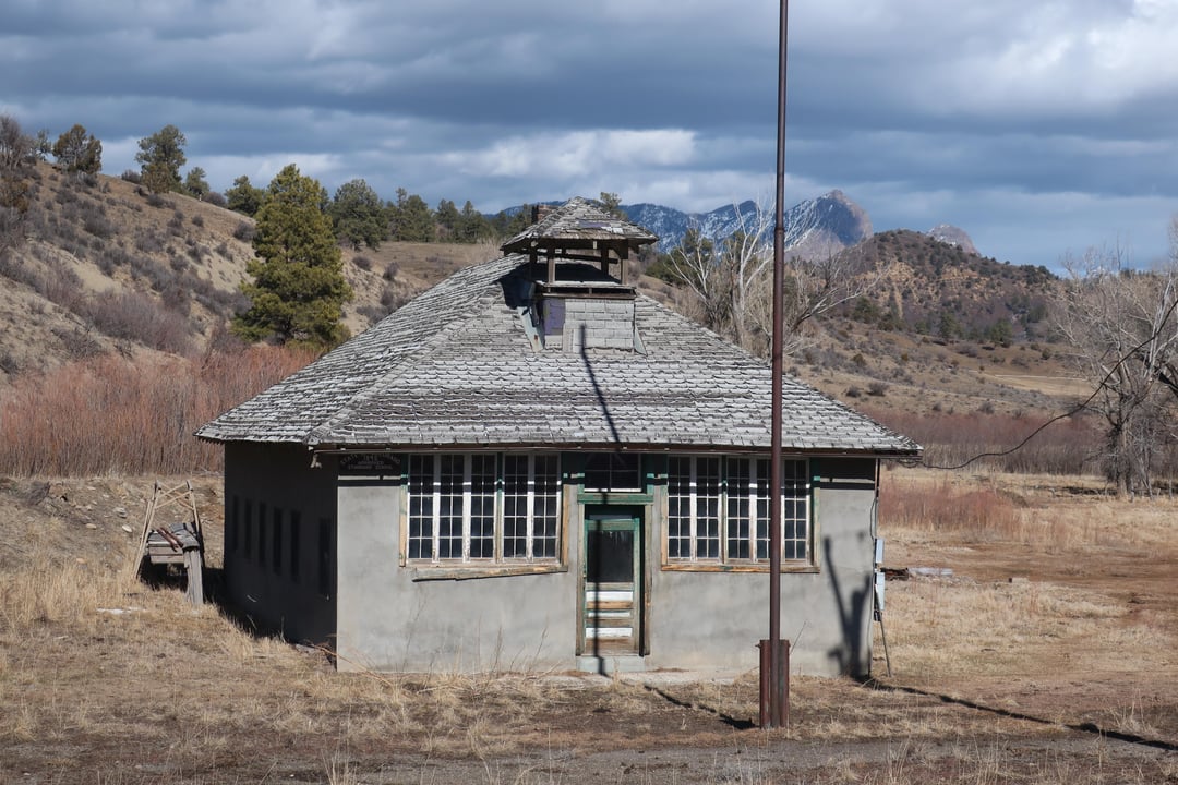
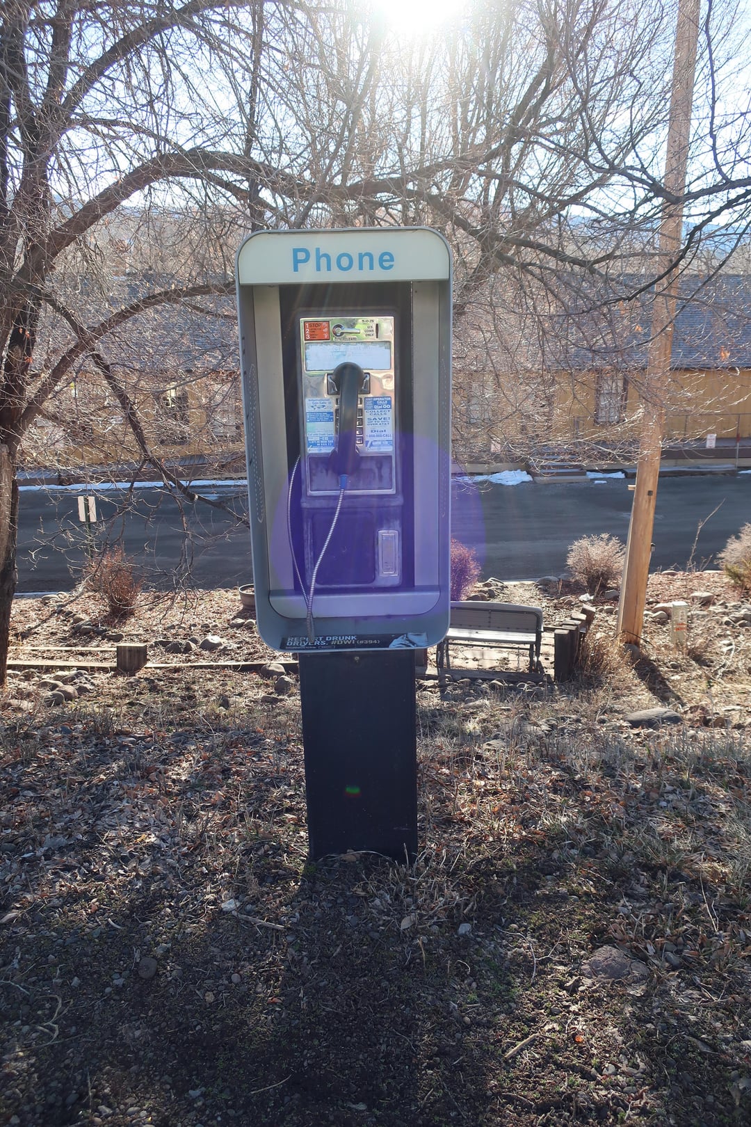
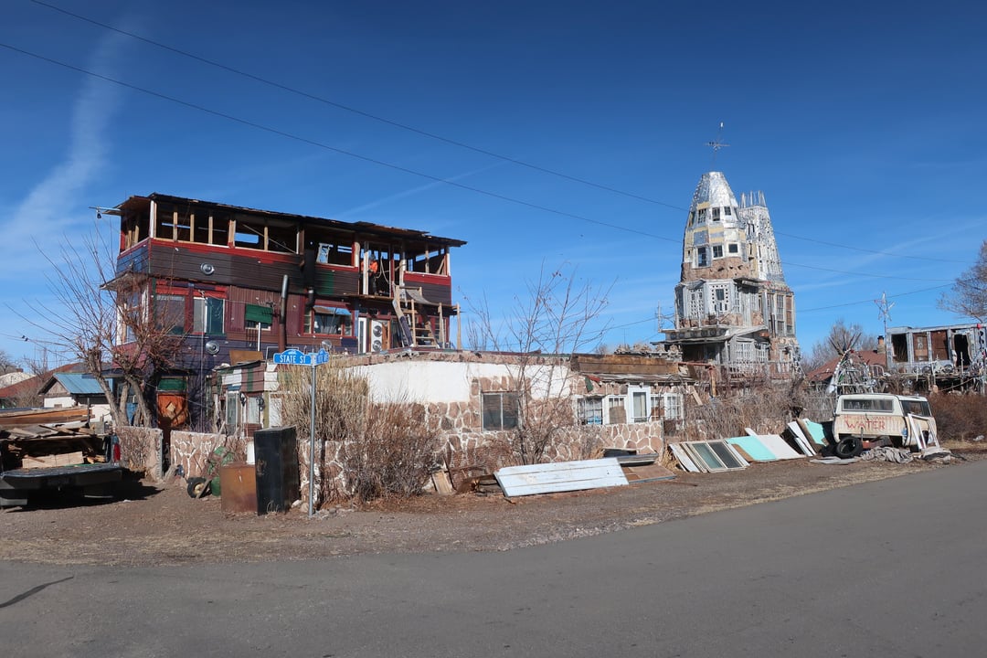
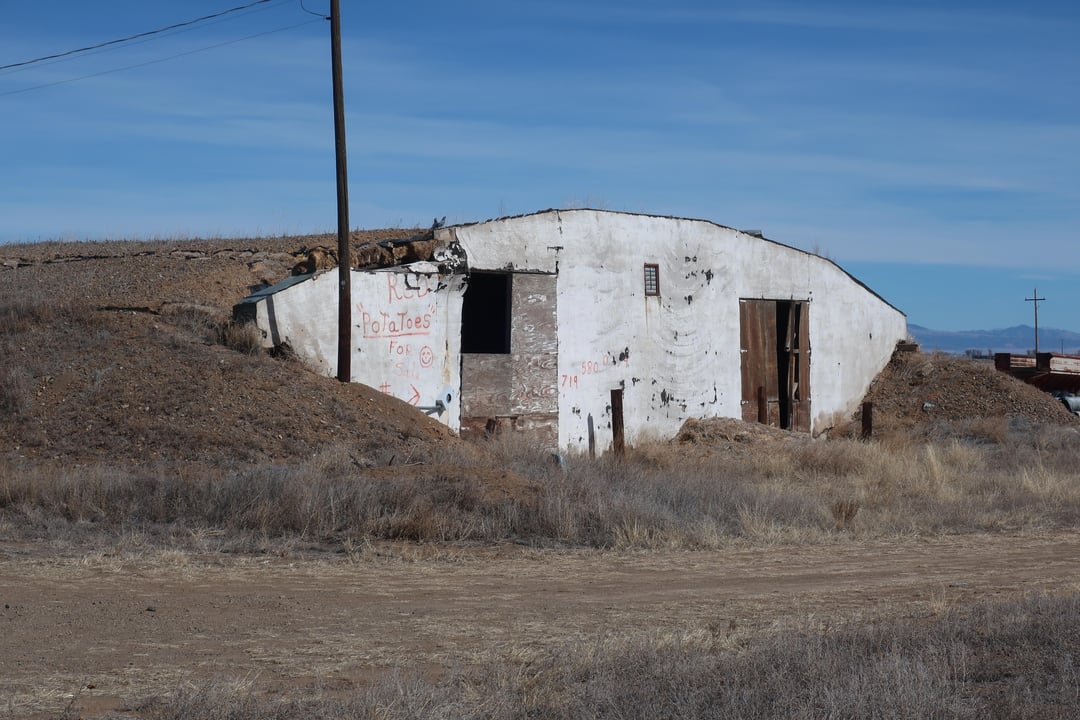
That looks amazing! Questions: did the phone booth actually work and is that house that looks half rocket ship in the next to last photo actually occupied? I have, you know, biking questions of the usual variety: how long did you take for the trip? how much food and water did you carry? how was the cold? But your photos are really intriguing.