


Did The Hood Loop over three days this Labor day weekend. Route details can be found here: (https://bikepackingroots.org/project/the-hood-loop/)
Day 1: Camp Creek campground to Parkdale, ~50 miles, ~5,500 ft of elevation gain. Mostly tarmac riding, a bit of gravel. Got to Parkdale around 2:00 PM and stayed at Toll Gate County park. It was busy!
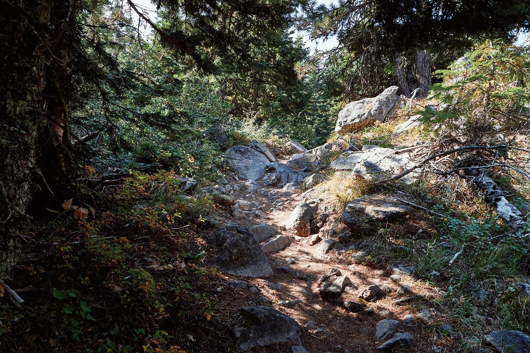
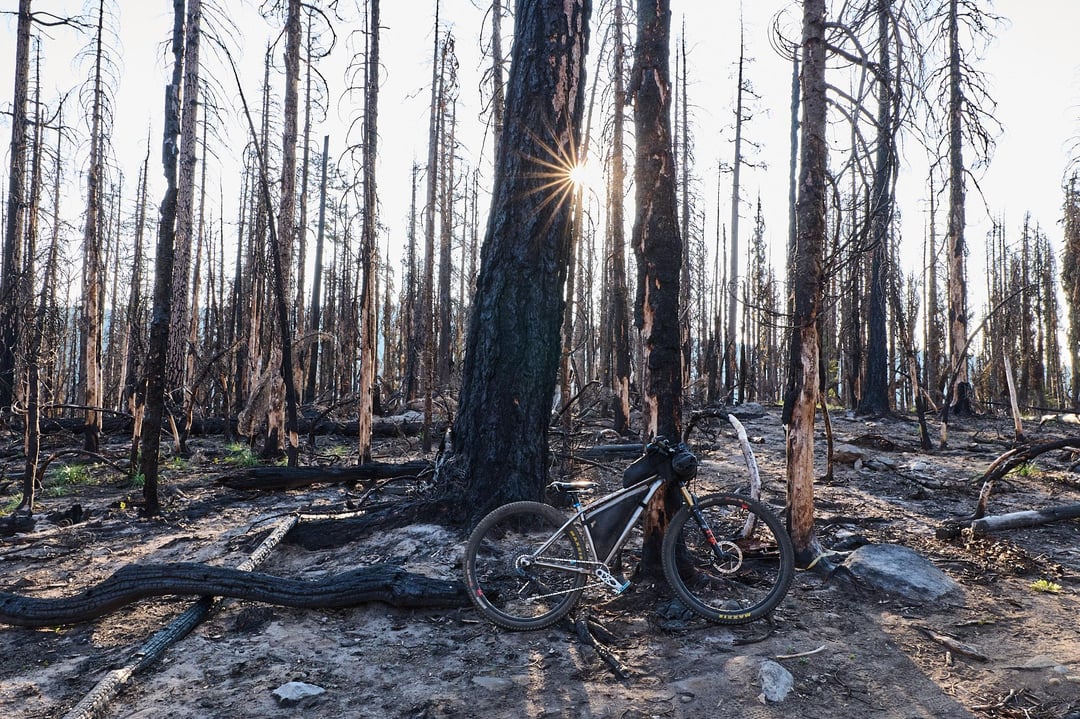
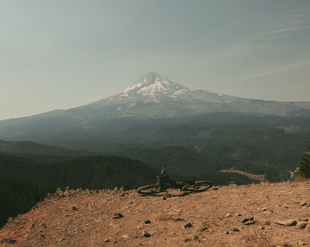
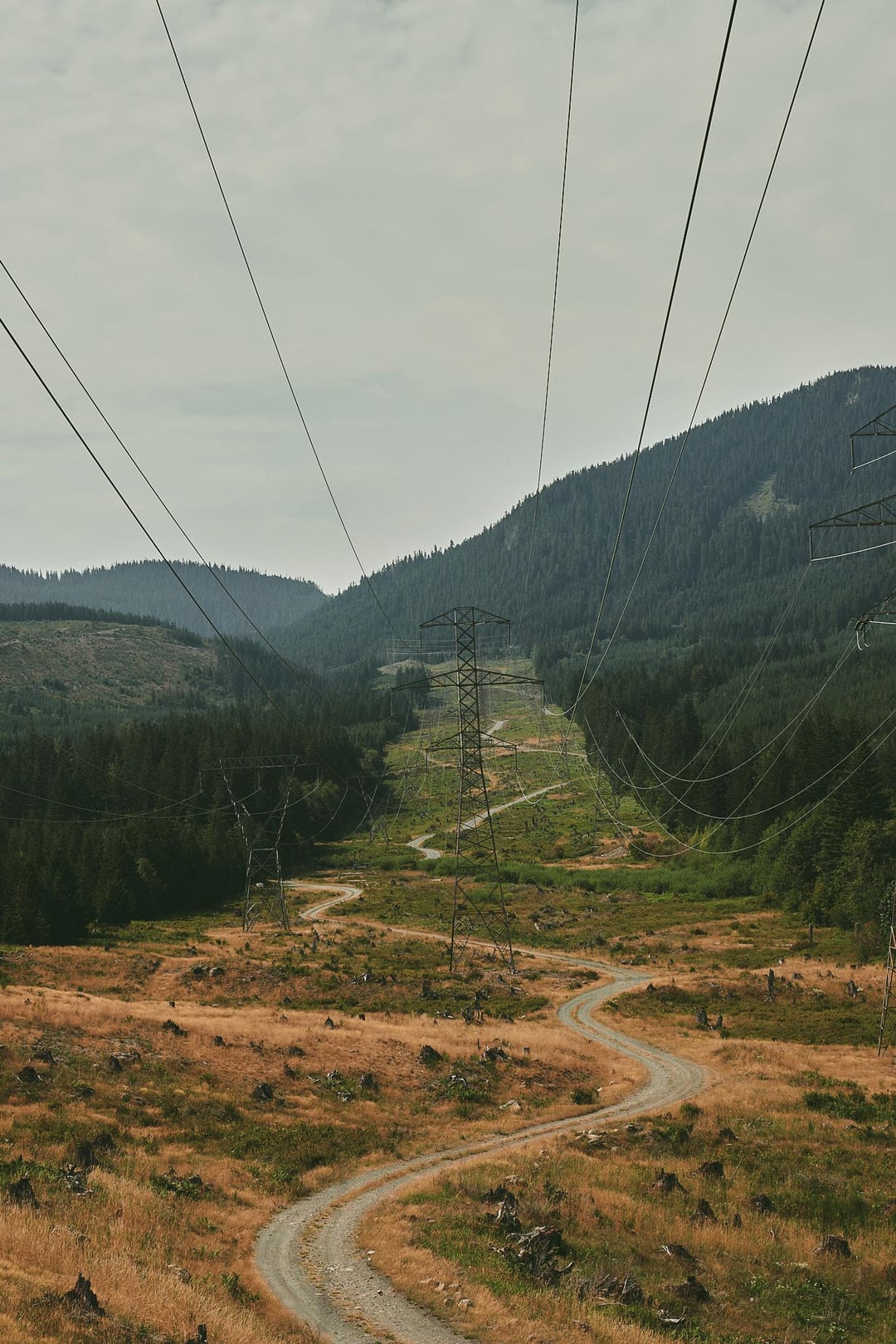
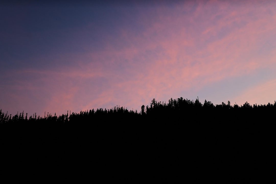
Day 2: Parkdale to Boulder Lake, ~41 miles, ~7,500 ft of elevation gain. This day was hard. It felt like I was mostly riding uphill on singletrack (Up Surveyors Ridge, Lookout Mountain, and Gunsight Ridge). I made a slight deviation from the original route to camp at Boulder Lake. I don't think this really changed the stats of the route in a meaningful way, and allowed me to sneak in some fishing. Started riding around 8:00 AM, got to camp around 5:00 PM.
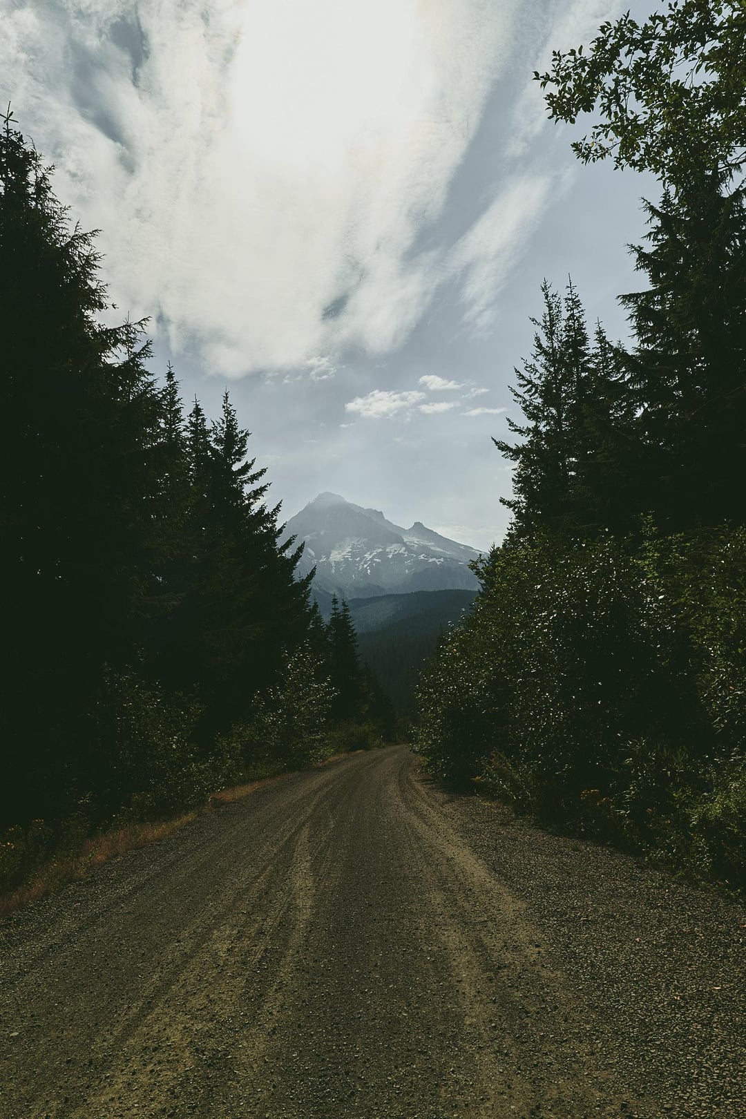
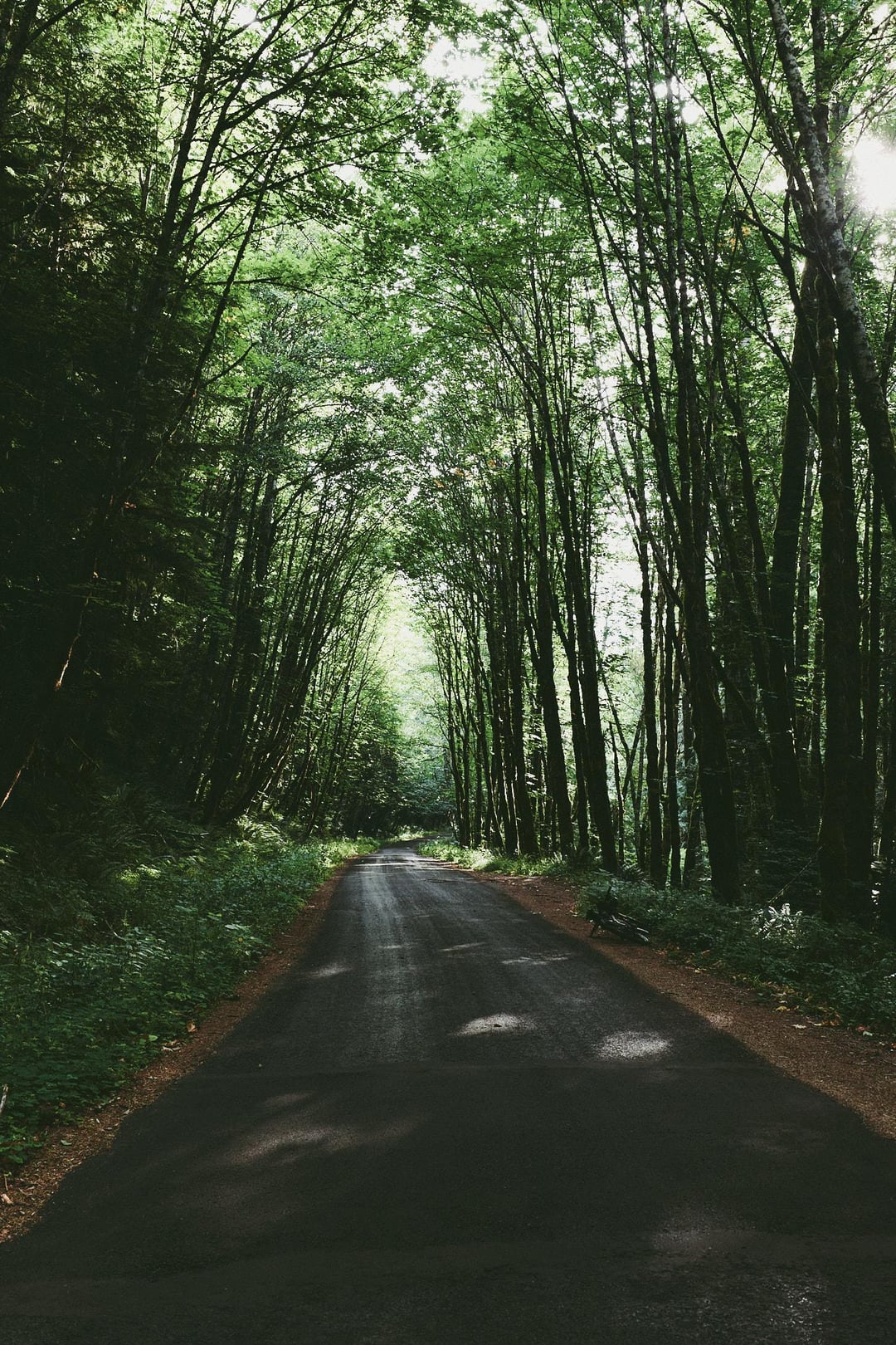
Day 3: Boulder Lake back to car, ~35 miles, ~3,000 ft of elevation gain. A mixture of doubletrack / gravel, the finishing up on single track (Timberline to town).
Overall, I enjoyed the route, though on Day 2 I felt like I should be going in the other direction! On the last day when you descend into town, you understand why the route was set to go in this direction. Thanks to Cedar from Oregon Territory Outfitters for putting together this route.
by PNWbikepacking
3 Comments
Beautiful pics! Hope you had a great time. What bike are you using?
I recognize some of these spots! Day 2 sounds grueling. I ride up Surveyors a couple times a year just day riding unloaded. It’s a chore. Trying to imagine riding up it loaded! Thanks for sharing OP! Nice photos!
Did you catch any fish??