
Hey everyone,
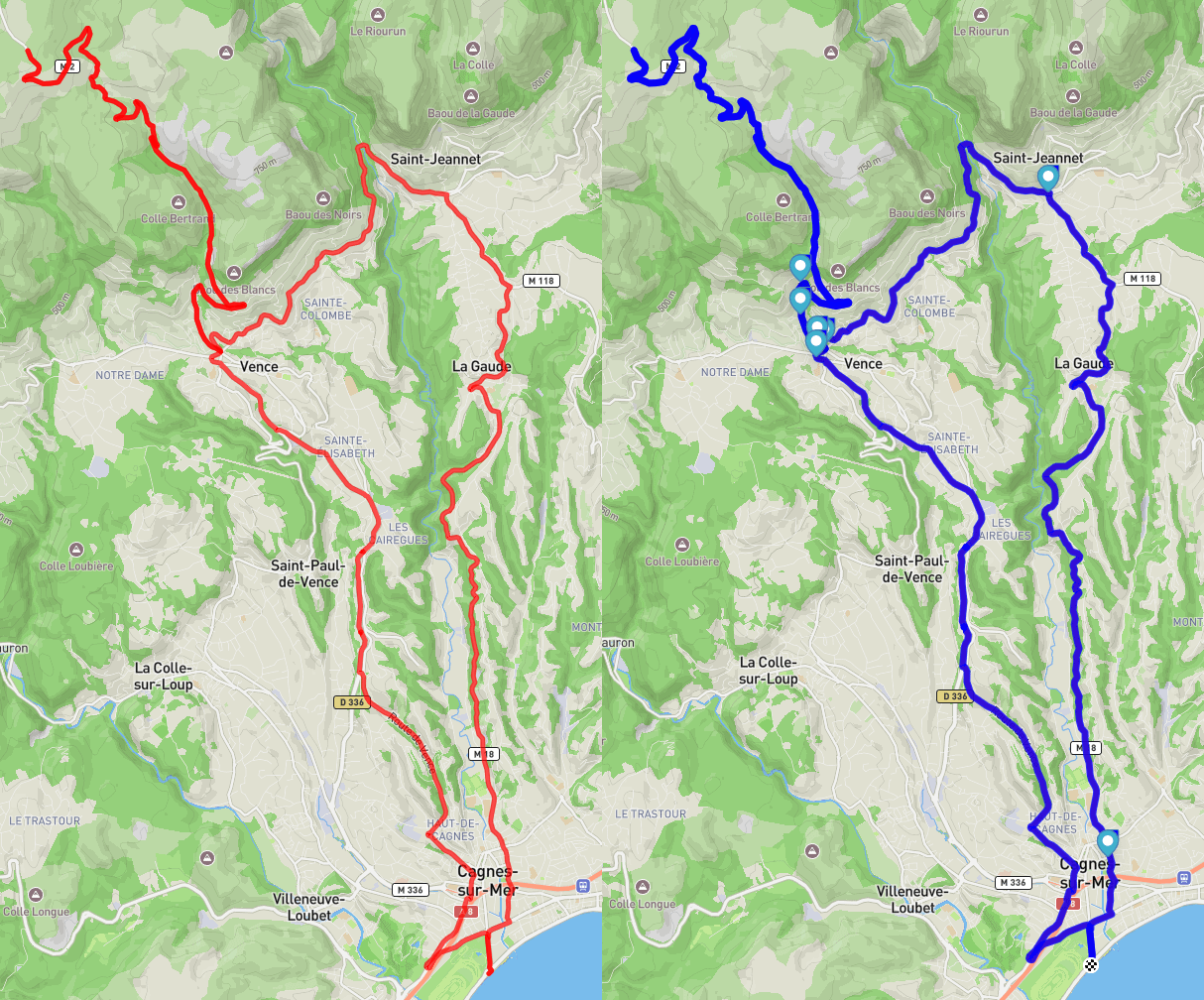
I'm an avid bikepacker and I often struggled to find water refill spots during longer rides, especially when planning routes in new areas. So I created Thirsty — an open-source Python tool that analyzes your GPX route and automatically adds nearby public water fountains, taps, and other refill points.
✅ What it does:
- You input a GPX file (or a URL to one).
- It finds water points close to your route using OpenStreetMap data.
- It generates a new GPX file with custom waypoints added.
- You can export it for use with Garmin, Wahoo, Komoot, RideWithGPS, etc.
✅ Extras:
- It can show an interactive map preview.
- It's fully offline after the initial fetch.
- It's lightweight, open-source, and free under GPL v3.
🌎 Perfect for multi-day bikepacking trips, ultra-distance events, or just when you want to be sure you won't run out of water in the middle of nowhere.
If you’re interested, you can check it out here:
👉 https://github.com/jsleroy/thirsty
Would love your feedback — and if you have ideas for extra features (like adding food stops, campsites, etc.), I'd love to hear them! 🚴♂️💧
by jsleroy
5 Comments
That’s really cool.
I’ll try it later, nice idea.
That look really cool – I will check it later on my private PC. Thanks for sharing!
It would be great to have the possibility to use any POI for this. For example, I quite regularly use the POI “shelter” or “touristic shelter” to find a place to sleep. I also use the POI “graveyard” since in my country these places usually have a fresh water supply. I guess other people have other tricks. Would be nice to have a collection of the best bike packing POIs 🙂
Good idea. I’ll take a look for my planned trip in Tuscany.
IOverlander is very good for this as well.