
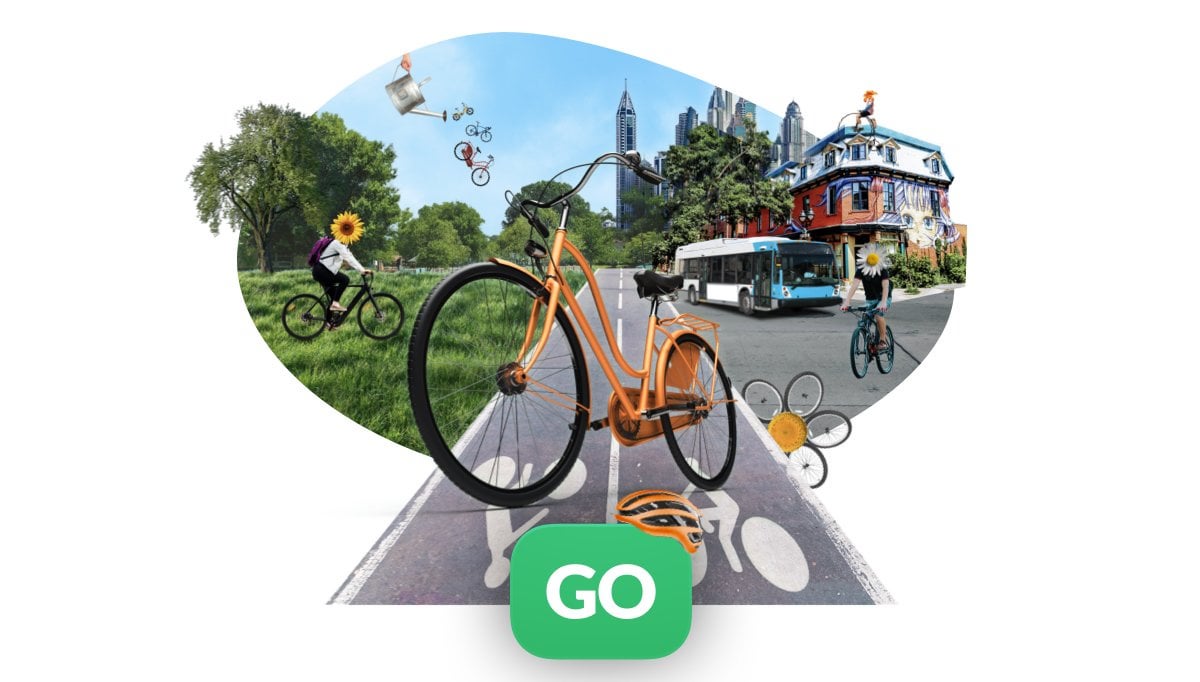
Transit App has long allowed you to select biking as an option, and you could even combine a bus + public transit in the same trip in limited situations. However, there was not much information about how bike infrastructure played into route choices. A bunch of new features have just been released that, I think, make a huge difference.
The route choices clearly prioritize safety over directness, and are best suited for riders who shy away from riding in traffic.
I am guessing they're getting bike lane data from Openstreetmap, because the data on how much of a trip is protected bike lane vs painted bike lane vs residential (no bike lane) vs busy road (no bike lane) is now much more accurate in my area compared to Google Maps. This also means that if you see inaccuracies or omissions in the route information you're being given, you have some ability to improve the situation by editing Openstreetmap.
How do the route choices and details look for your area?
by TeaBooksFall
5 Comments
This looks great. Google is generally solid in my area but ill try this out
Adds 10% to my commute but mostly because it goes out of its way for bike lanes. Which is great tbh.
Needs some consideration for terrain though. My county put bike lanes on the steepest streets in downtown, grr. But only transit suggests using them while navigating.
just downloaded it, thanks for the info
This app has been getting spammed on every cycling sub all week. It’s no better than google maps where I’m at and possibly worse. On my common trips it takes me off designated bike routes for busy arterials or longer routes. And you get to pay!
Not released in Singapore. So waiting patiently until I can give it a go!
FWIW Beeline, Citymapper and Bikemap also offer reasonable routing suggestions.