
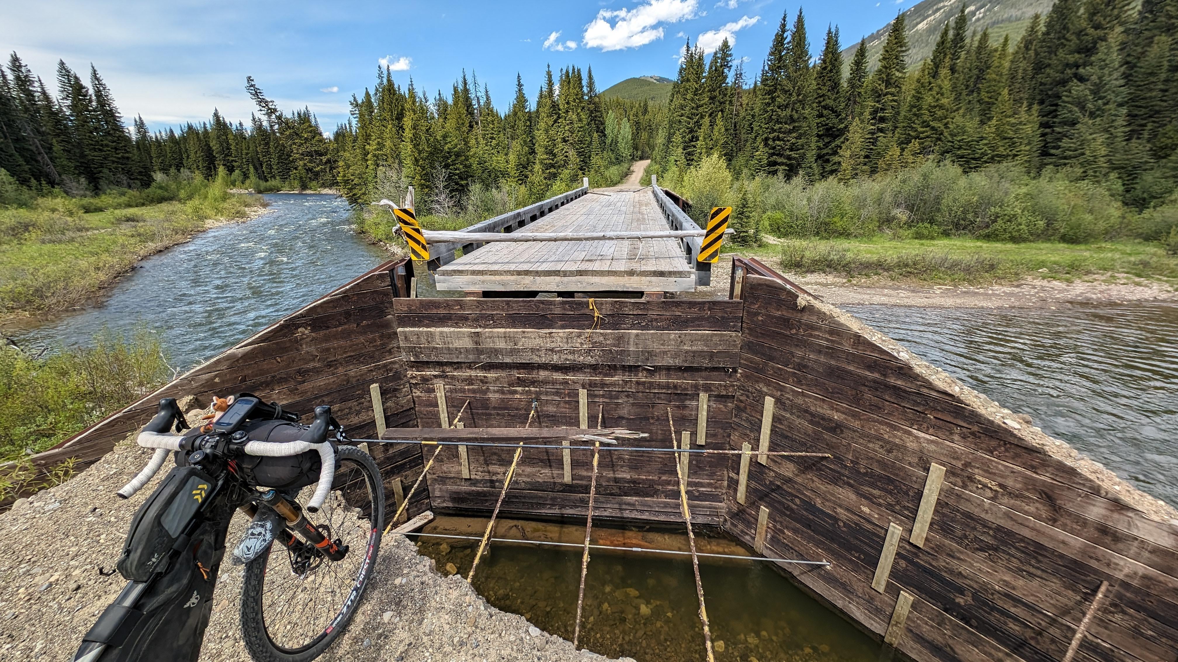
We ran into a bit of an issue at about 70 km into our 160km ride after coming down from our second pass. Eventually had to bushwack and head a couple hundred meter downstream to find shallower water to cross the river… Damn was it cold. You never know what you're going to get.
This was on day two of this epic southern AB/BC journey. https://ridewithgps.com/routes/47079188?privacy_code=ZmjbTw1CVxlk2ukKvLJ0gjKMhYdgNJQb
by cbtriplec
8 Comments
**Thanks for posting to /r/gravelcycling! It looks like you’ve submitted an image.**
This community encourages additional context about image submissions. You can include details about your post in a comment below. Some suggestions for good comments:
* Bike details (make, model, accessories, and gear)
* Location (specific or general is fine)
You can also use **post flair** to give additional context about your post.
*I am a bot, and this action was performed automatically. Please [contact the moderators of this subreddit](/message/compose/?to=/r/gravelcycling) if you have any questions or concerns.*
You couldn’t just bunny hop it? 🤣
Looks like you’re getting wet.
Minecraft irl
Neat to see a Southern Alberta route. I’ll have to check it out.
We’re there other signs before reach the point that picture was taken? I could see someone making a very regrettable mistake on that path, especially at night
Dukes of hazard time!
I’ve ridden from Corbin down to Butz? Rec site. Lots of flooding on the road. Have you encountered the same? The road often felt like a river.