
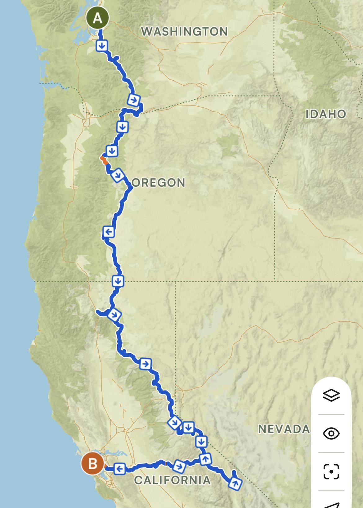
Any tips for me? Edited: many people recommend to do the PCH. It looks beautiful but I don’t want to miss out on the mountains. I want to ride high altitude passes, see big mountains and want to see forests and lakes. In that case, would you still recommend the PCH?
by Worried-Sympathy-650
14 Comments
If you’ve got the time I’d take the coast.
Yeah missed opportunity not biking pch down
I’d do the PCH, always wanted to do that section. Or at least cut over for part of it
For Oregon and California I would do the coast. Copy/Pasting previous comment here:
Oregon has good maps for the coastal route:
– [https://www.oregon.gov/odot/programs/pages/bikeped.aspx](https://www.oregon.gov/odot/programs/pages/bikeped.aspx)
– [https://www.oregon.gov/odot/Programs/TDD%20Documents/oregon-coast-bike-route-map.pdf](https://www.oregon.gov/odot/Programs/TDD%20Documents/oregon-coast-bike-route-map.pdf)
the 2nd page of this PDF has good details for where you can avoid 101
This blog post has good info, especially the bits about dealing with tunnels
– [https://outdoorpilgrim.com/oregon-coast-bike-route/](https://outdoorpilgrim.com/oregon-coast-bike-route/)
Oregon State Parks: North to South with hike/bike camping spots
$7 USD per night per person, clean campsites and they usually have power for re-charging plus floor pump and some tools.
– Cape Lookout State Park – Tillamook
– Devil’s Lake State Recreation Area – Lincoln City
– Beverly Beach State Park – Newport
– Beachside State Recreation Site – Newport
– Carl G. Washburne Memorial State Park – Florence
– Jessie M. Honeyman Memorial State Park – Florence
– Bullards Beach State Park – Bandon/Coos Bay
– Cape Blanco State Park – Port Orford
– Humbug Mountain State Park – Port Orford
– Harris Beach State Park – Brookings
California State Parks with hike/bike camping spots
– [https://www.parks.ca.gov/parkindex](https://www.parks.ca.gov/parkindex)
– Click “Show Map”
– Scroll back up and click “Overnight Facilities”
– Check “Hike or Bike Campsites”
See also: [https://www.reddit.com/r/bicycletouring/comments/ux4ph6/map_of_california_bike_campsites/](https://www.reddit.com/r/bicycletouring/comments/ux4ph6/map_of_california_bike_campsites/)
I would recommend staying at “Prairie Creek Redwoods State Park” once you get into California
Showers in Oregon are free at the State Parks, need tokens or maybe quarters for California
You might want to get some maps / support Adventure Cycling Association
– [https://www.adventurecycling.org/routes-and-maps/adventure-cycling-route-network/pacific-coast/](https://www.adventurecycling.org/routes-and-maps/adventure-cycling-route-network/pacific-coast/)
A couple of tidbits:
– Sonoma County California, climb away from Hwy 1 up “Kruse Ranch Rd” > Seaview Rd > Myers Grade descent
You might stay at “Salt Point State Park”, backtrack the next day to hook up with Kruse
Gravel and not too difficult, the views from Seaview are amazing and Myers Grade descent…
– Monterey Country California, you will probably end up on the bike path before or around Marina, take it through Monterey to Pacific Grove and then ride “17 mile” through Pebble Beach, at the end of “17 mile” take a right into Carmel instead of going back to Hwy 1, ride the seashore through Carmel, this will eventually get you back to Hwy 1 near a shopping center; restock here before going south towards Big Sur; there is Safeway or Cornucopia Community Market plus coffee shops and restaurants here. If I recall there are some pretty good burritos at the store in Big Sur as well.
Make it a loop! Ride south on the PCH and return north along this amazing looking bike pack route. The PCH is so easy and road oriented, it’s in the top ten road routes of the nation, but at the end of the day it’s a paved route…
I rode a very similar route last September. I took me around 5 weeks and was an incredible trip. There is so much to see that I would suggest even taking a bit longer if it’s possible. Be prepared for some very big days with lots of elevation but the landscape and nature are making it well worth it!
I went from Seattle towards Mt Rainier, down to the Colombia River went through the Oregon Outback towards Bend. Then I visited Crater Lake, Lava Beds National Monument, Lassen Vulcanic NP, Lake Tahoe, Mono Lake and Yosemite before making my way to Monterrey, Big Sur and up the Coast to SF.
It was an incredible trip. I would suggest taking forest roads if possible because they are much quieter than the main roads. If your planing to camp you’ll find lots of campgrounds along the route. Resupplie and water also wasn’t a big problem but you should still check because some stretches were quite remote.
It’s by far not an easy route but if your looking for a challenge that you’ll never forget it’s the way to go!
As others mentioned, PCH rocks. If you want a bit of both terrains, you could start with your route and then cut west along the Umpqua river, then take the PCH the rest of the way.
Pacific coast is overrated IMO inland and mountainous region is pretty sick
Along with some of the advice, if you haven’t already, check out the Oregon Outback or OVCA (This routes through crater lake) for a route to get through Oregon and the NorCal Outback to get to Reno. These will avoid major roads.
Hi, that looks awesome. I see a lot of people recommending the coast but the mountains are awesome as well and I don’t think you should be dissuaded from your route too much. I suspect there is an inherent bias towards the PCH here as many more people on here will have done that than the inland route.
I rode north from San Francisco last year and I saw a bit of both routes: I followed the coast up to Crescent City and then cut inland to the Cascades and over to Bend. From there I went NW, through Portland and around the NW side of the Olympics. The highlights of my time in the mountains were definitely Deschutes National Forest and Crater Lake. The McKenzie highway just outside Sisters was also beautiful and great for seeing lava fields. There’s also lots of great quiet gravel roads up in the Cascades if that’s your sort of thing. Just be careful, if you go early summer some of these roads may still be snowed in. Similarly, Crater Lake can still be blocked by snow in early summer, especially the North entrance so check online if you’re going that way. I was there in June and I couldn’t cycle the length of the Crater, I could just enter from the South, get a quick look and then double back.
The bits I saw of the coast were fun as well especially the redwoods and the lost coast route in California. That said, if you’re more of a mountain person, I think there’s definitely a strong case to stay inland!
You might want to clarify how you feel about riding pavement vs gravel vs singletrack.
Did something similar Nobo almost a decade ago.
I used a MTB – left Reno, did a lap around tahoe and then connected up through susanville area to the warner mtns. Rode the OTT, crossed the columbia at The Dalles and went up past Mt Jefferson and toward olympia then gig harbor and took the ferry over. I’ve done some big ones over the years….this is probably my favorite and really the only one that I hope to interpret again. It was also before the huge fires near susanville, so not sure what those areas look like now. The Warner mtns are amazing though.
The PCH won’t get you much of what you’re looking for as stated. But you won’t be disappointed. Your route looks amazing too. Might need two trips!
Following because I want to do the reverse direction in a few weeks!