
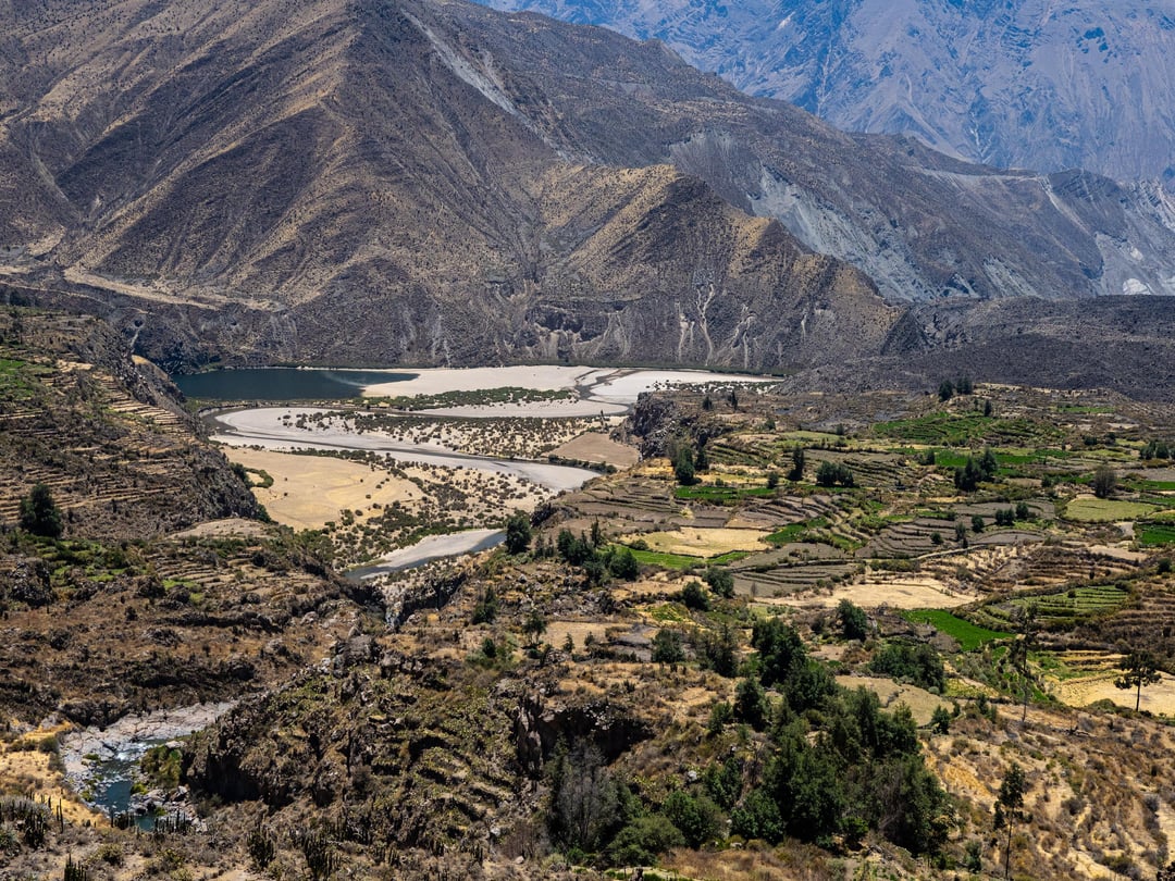
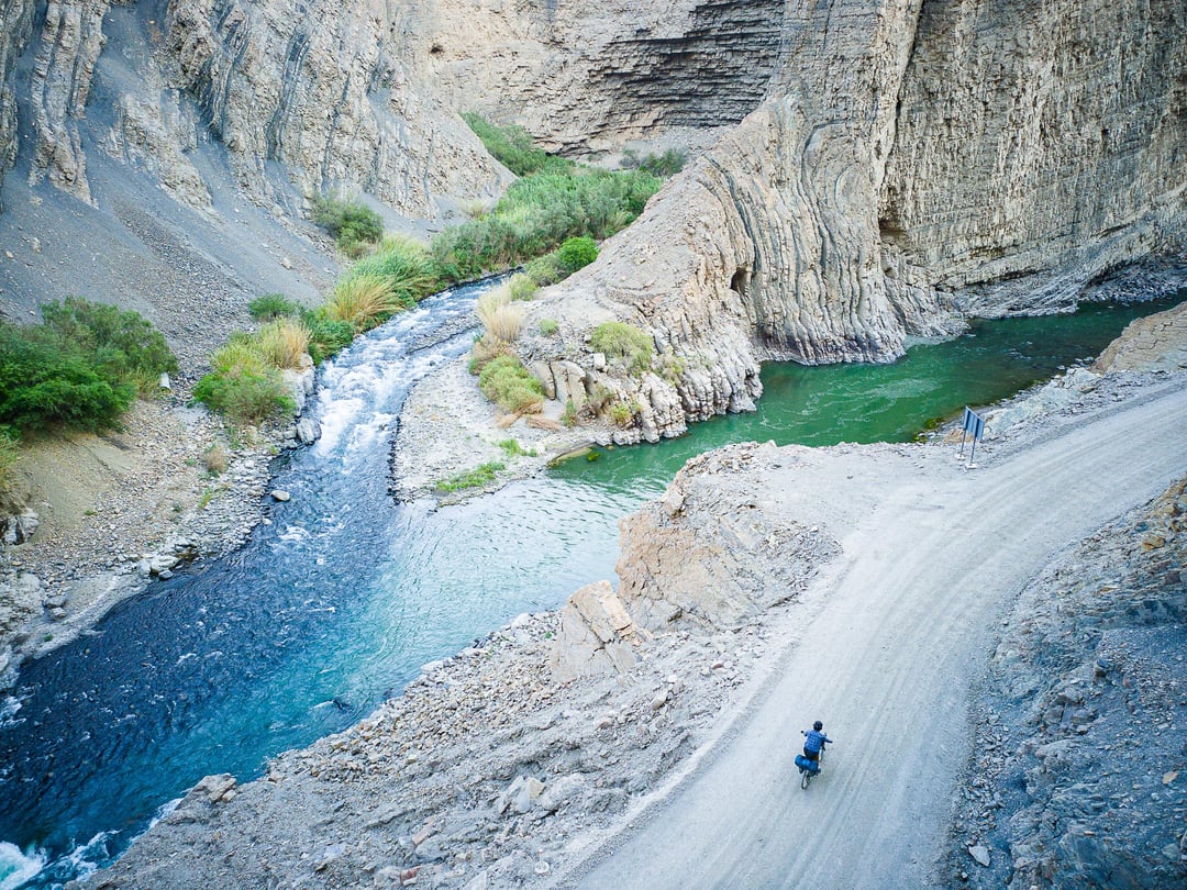
I left off my last post in the pueblito of Quechualla at the bottom of Cotahuasi Canyon. It is an oasis of lushness in the otherwise barren, rocky depths. I cheated by catching the morning bus back to Cotahuasi town. The journey along the cliffside road was slow perilous and it took a few hours to make the 30 km trip as we picked up local farmers and villagers heading to town.
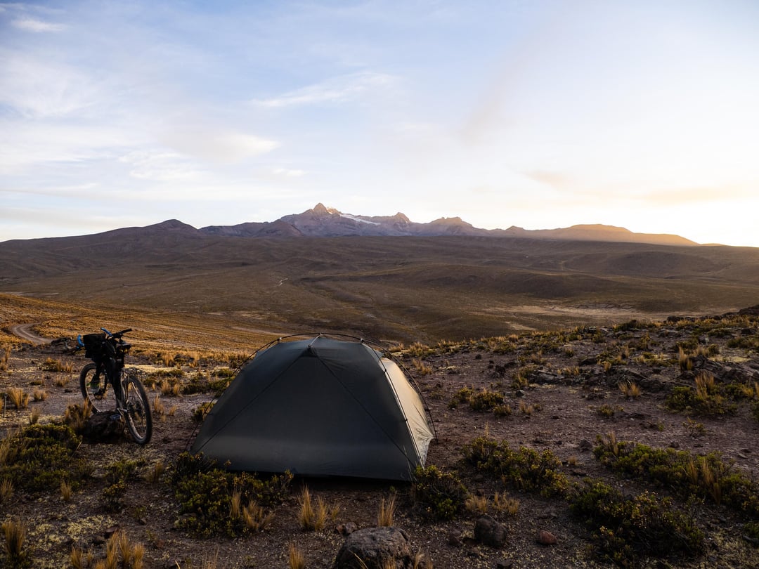
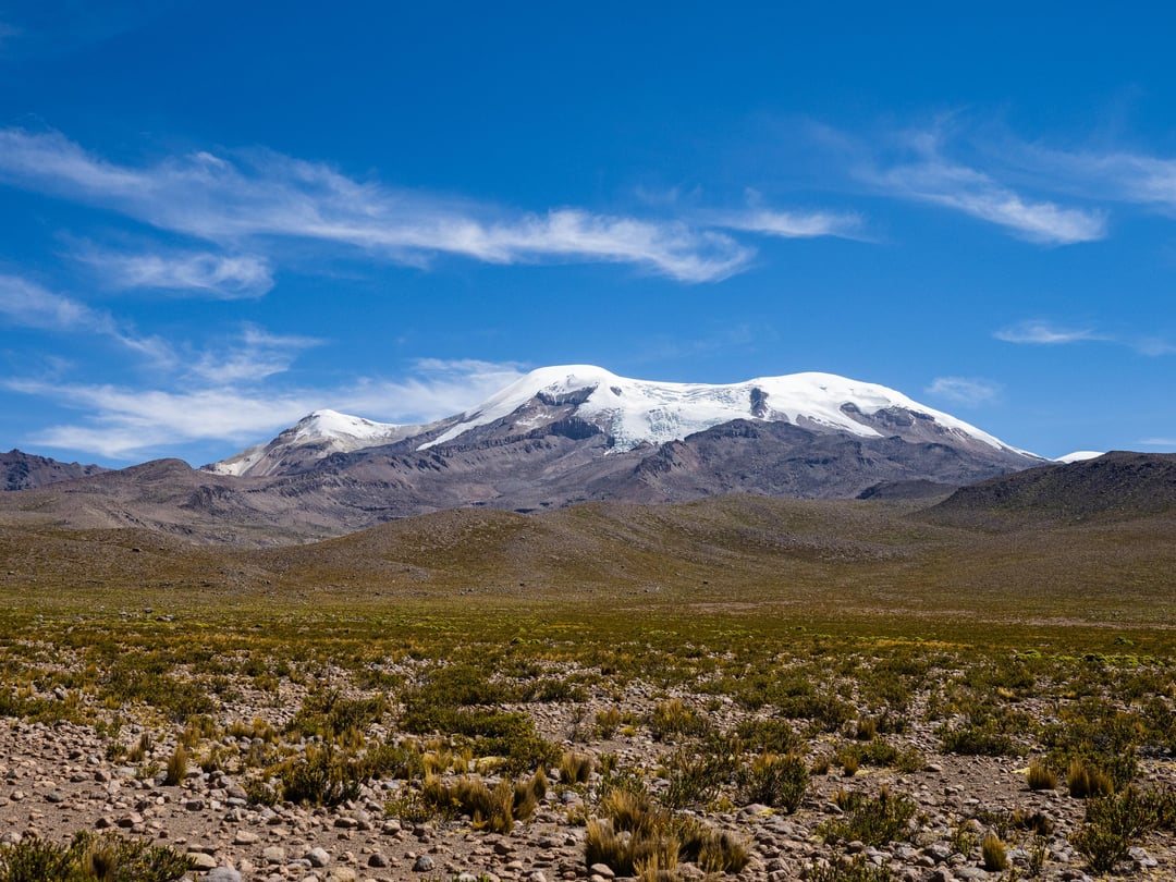
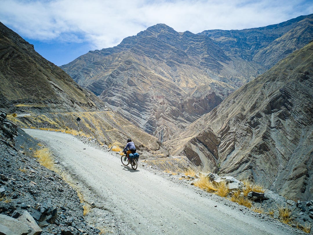
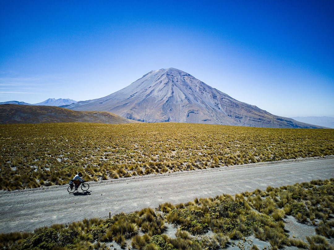
After two rest days in Cotahuasi (2,700m), I began the massive climb back to the puna. I climbed steadily on a quiet paved road, slowly gaining elevation to a height of 4,500m where I set up camp with glorious views of Solimana, one of many glacier-capped volcanos in this part of Peru. From there, a bit more pavement brought me to a shortcut to Andagua and the Vallee de Los Volcanes. This was 35 km of gradual uphill washboard and it sucked the life out of me.
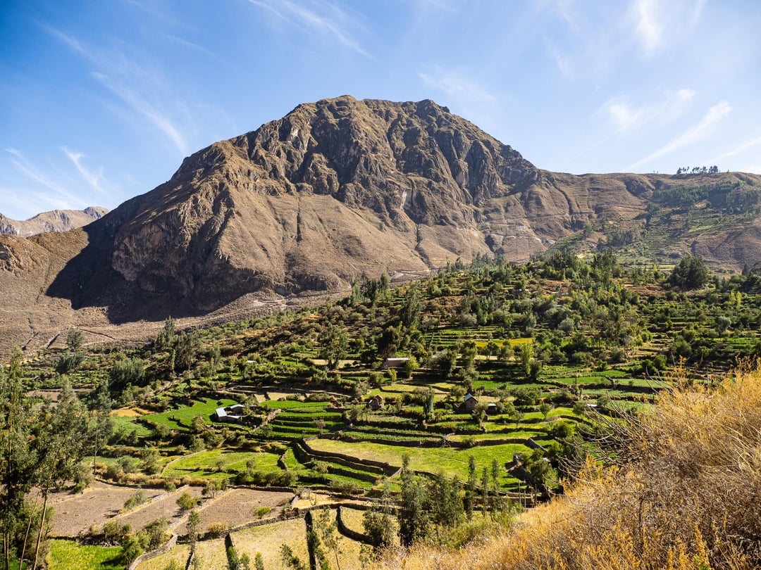
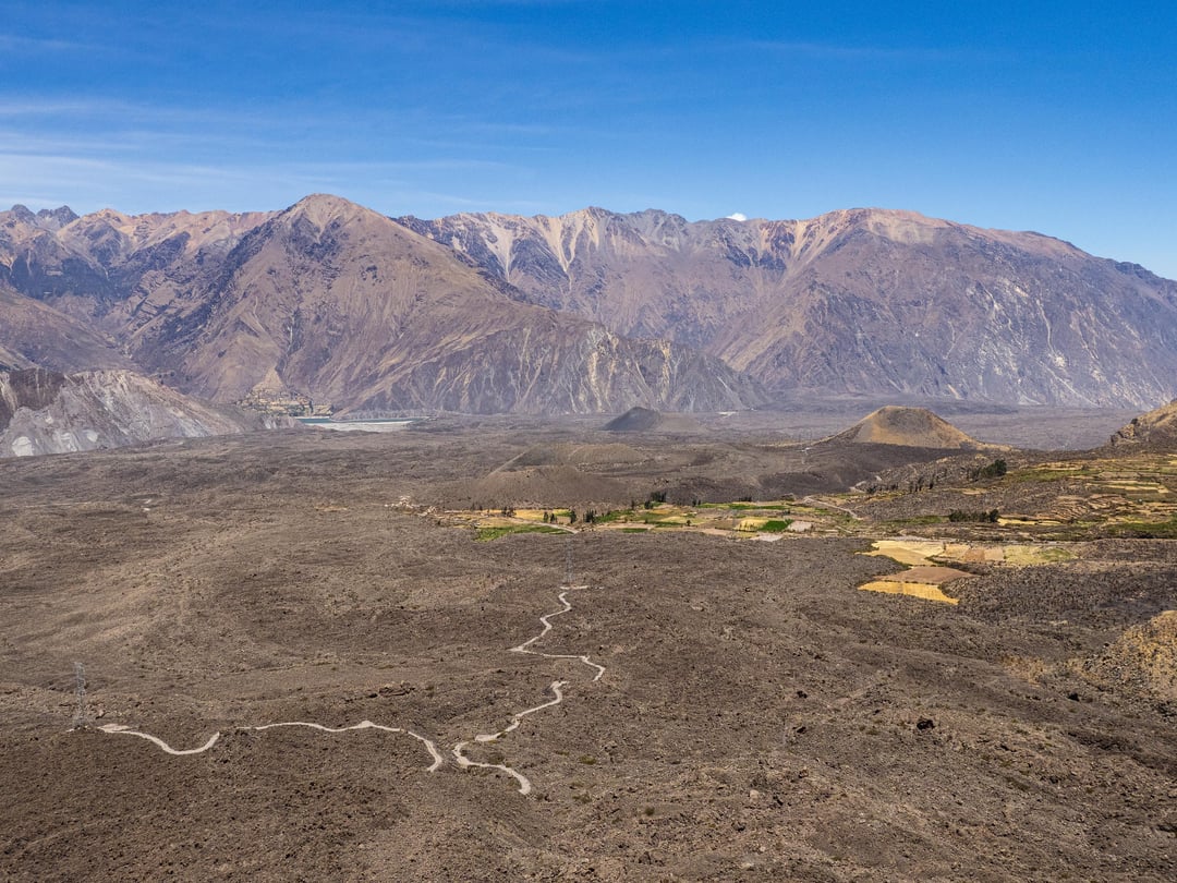
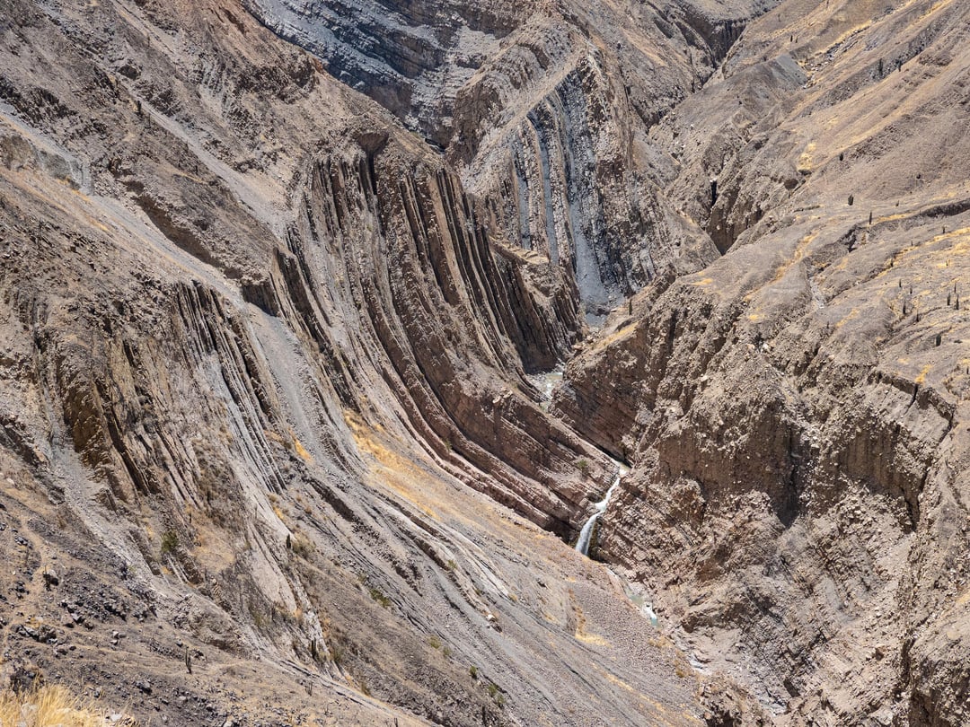
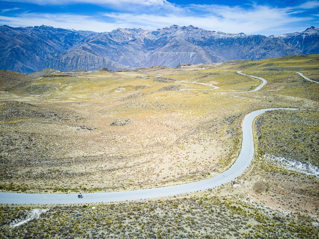
From a highpoint of 4,850m, it was pretty much all downhill to the bottom of the Colca Canyon at only 1,400m, my lowest point of the trip. I took some time to explore the dramatci Vallee de los Volcanes, which gets its name from the numerous volcanoes of all sizes rising out of the landscape and the blackened lava flows that divide the agricultural terraces.
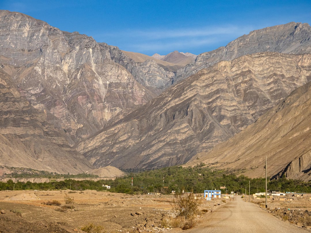
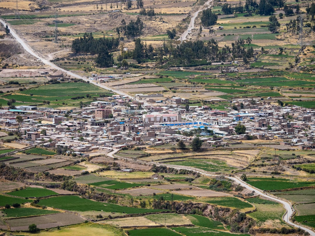
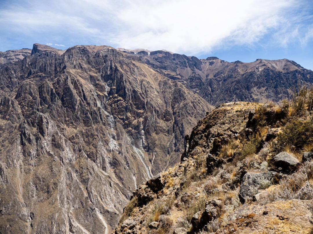
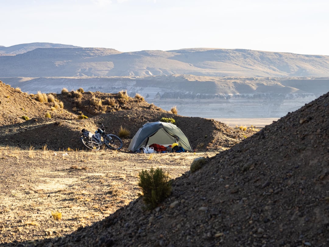
The bottom of the Colca Canyon was unpassable until a few years ago when Peru's road building masters carved a driveable path down and built a bridge at the confluence of the Colca and Macacocha Rivers. Those waterways provide the only life in this otherwise dark, foreboding location. From there it was all uphill on a dirt road – almost 2,000m of climbing in only 30 km. After an exhausting slog, I made it to Huambo around 4 p.m. and decided to stop there and save the final 700m of the climb for the next day.
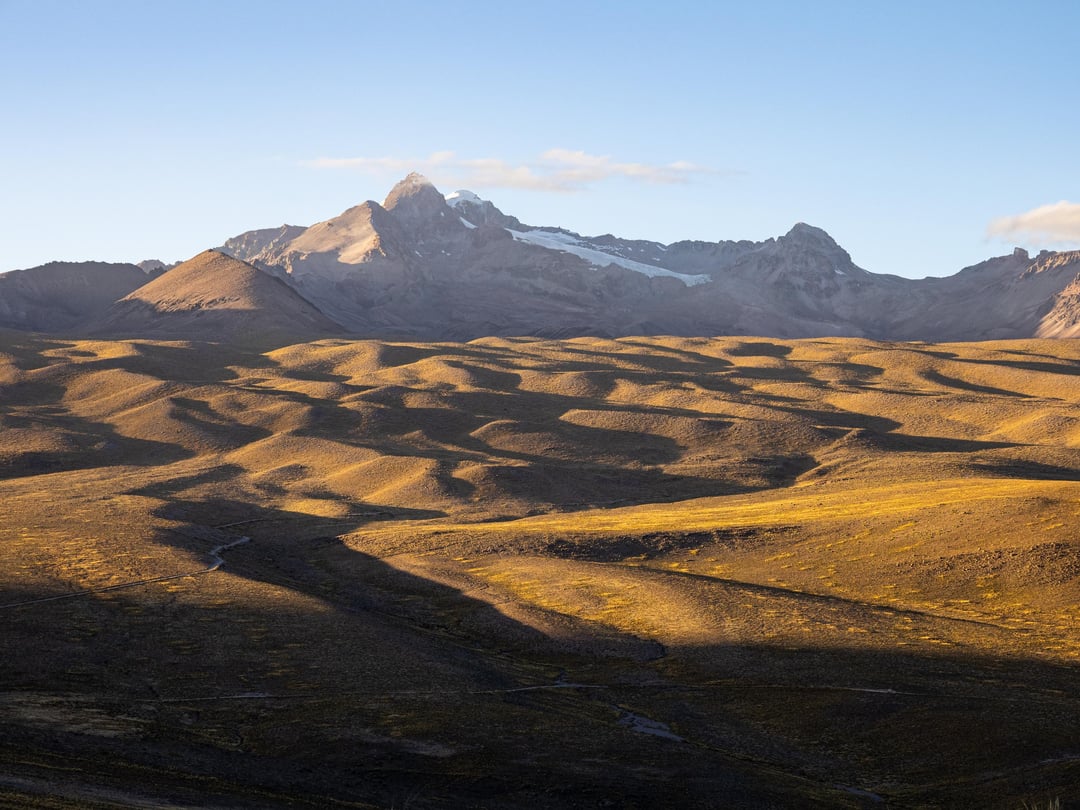
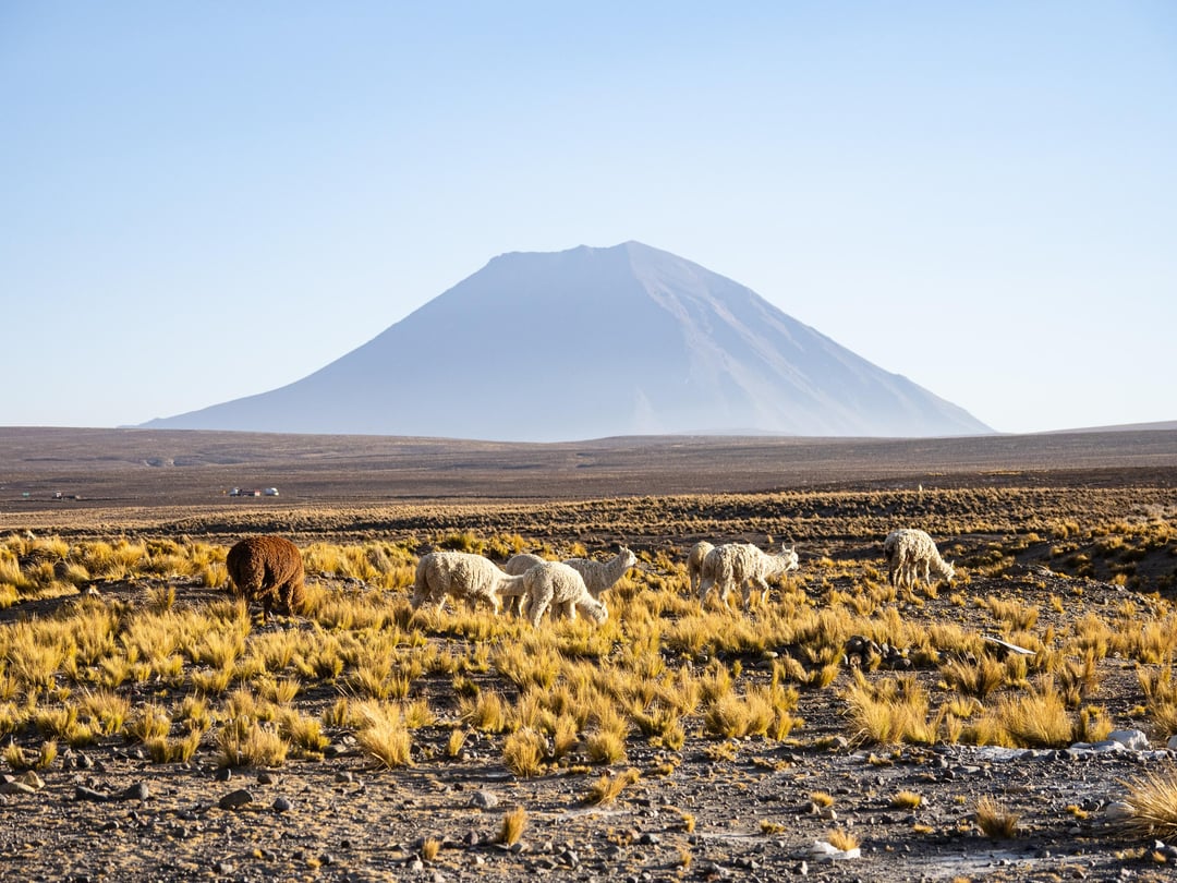
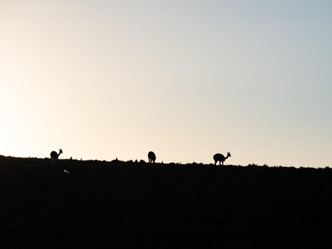
That climb was the final major challenge of my trip. From Huambo, I enjoyed a couple of easy days on paved roads through the Colca Canyon to the tourist hub of Chivay. And then it was one was final climb up to almost 5,000m, followed by a windy ride across the puna towards Arequipa. I spent my last night camping amidst herds of wild vicuna, with views of Misti and Chachani Volcanoes. I was looking forward to the 2,000m down to Arequipa. Unfortunately, the first half was undergoing reconstruction and was a mess of washboard, loose rocks, and deep sand. I suffered through, finally reaching pavement and the city below.
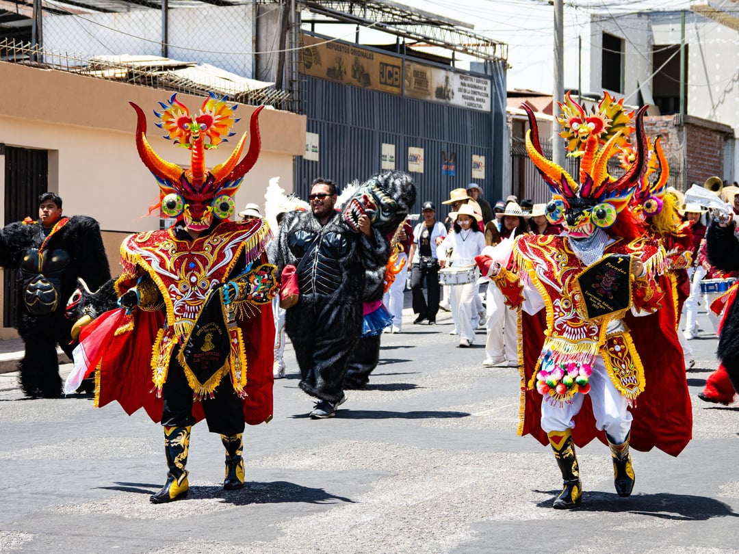
I had one more obstacle in my way – a parade! What a way to finish a trip.
And here's the route.
by lxoblivian
3 Comments
Is the last photo from Carnival in Oruro, Bolivia?
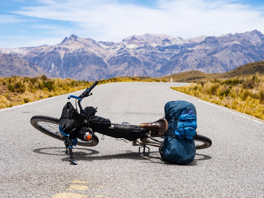
First of all, I love your photos! Thank you for sharing! I did Cones and Canyons by the book in two installments a couple of years ago. Only during the winter because I’d rather be cold than wet. How cold were your nights, usually? Why did you decide not to go through Chachas and up the 5190m high pass – was the mine territory not accessible? What bike did you ride? It seems that you packed very light. I have a hard time packing light. Do you mind sharing the gear you took with you? I want to go back and ride from Arequipa to Bolivia – Camino del Puma Route. I love Peru and your made me wanna go back as soon as possible.
I’m curious when you arrived in Ayo. My wife and I arrived there August 12th, and they mentioned there was a cyclist a day or so ahead of us.