
Hi everyone,
My name is Muhammad Redha Ghouileb, I’m an Algerian bikepacker.
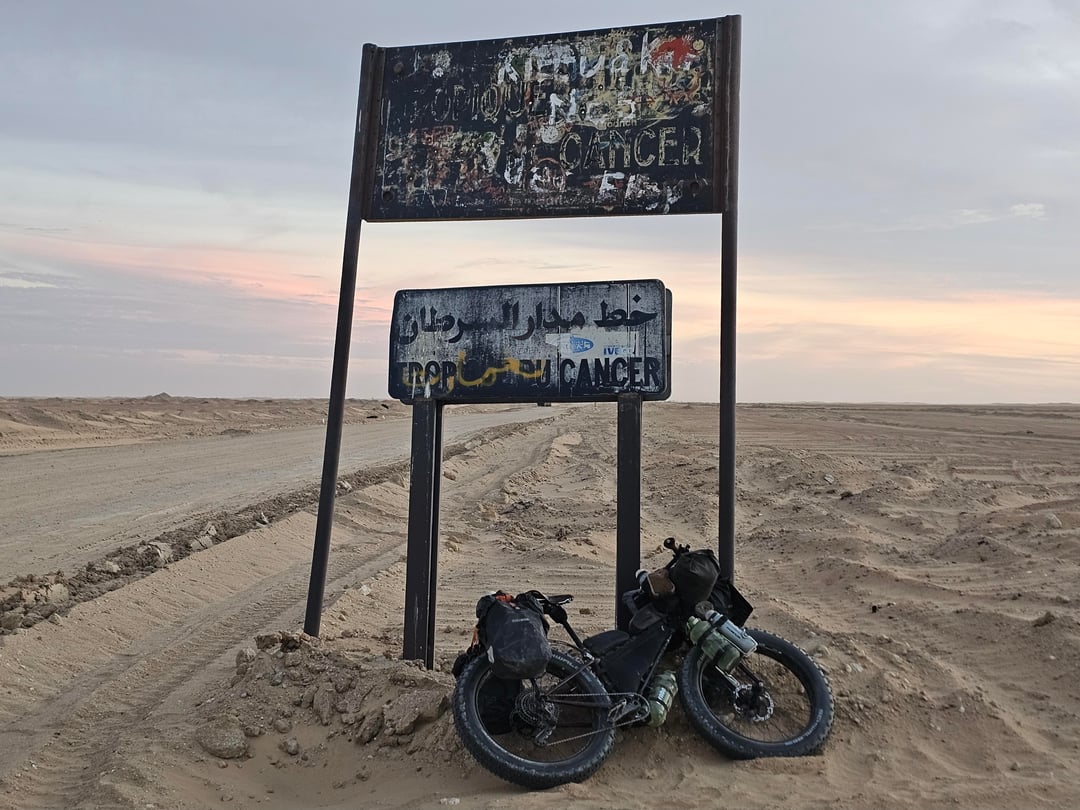
On January 6, 2026, I completed a bicycle crossing of the Tanezrouft Desert in southern Algeria — one of the most remote and hostile desert regions on Earth. To the best of available public records, this is among the first documented crossings of the Tanezrouft by bicycle.
For context: the only previously known bicycle crossing of the Tanezrouft Desert that I am aware of was completed by the explorer Jean Naud. My expedition was carried out independently, following a different timeframe and logistical approach.
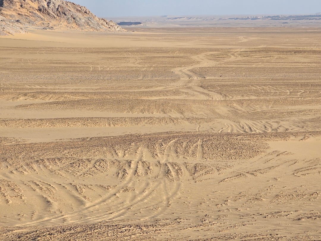
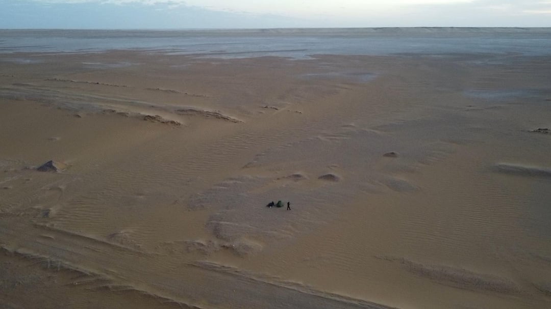
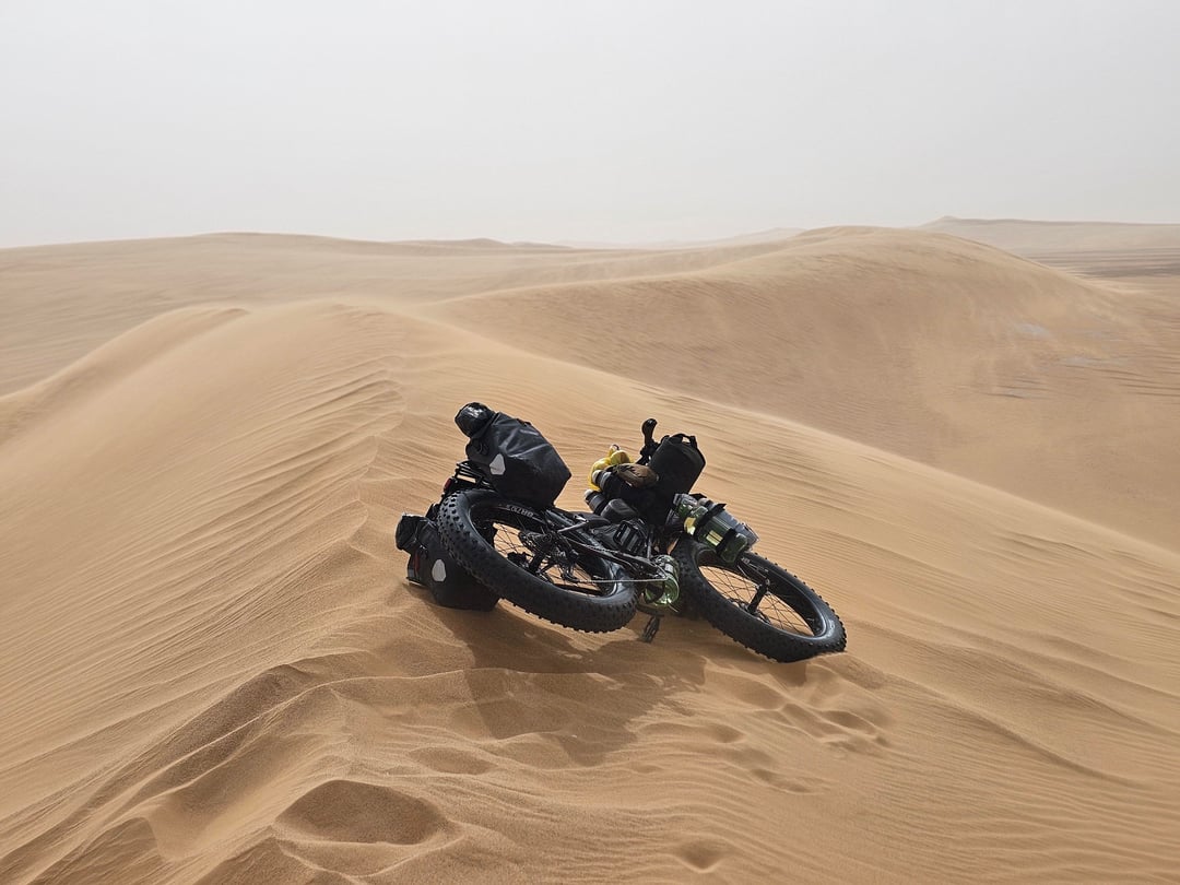
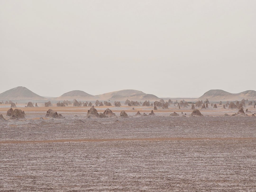
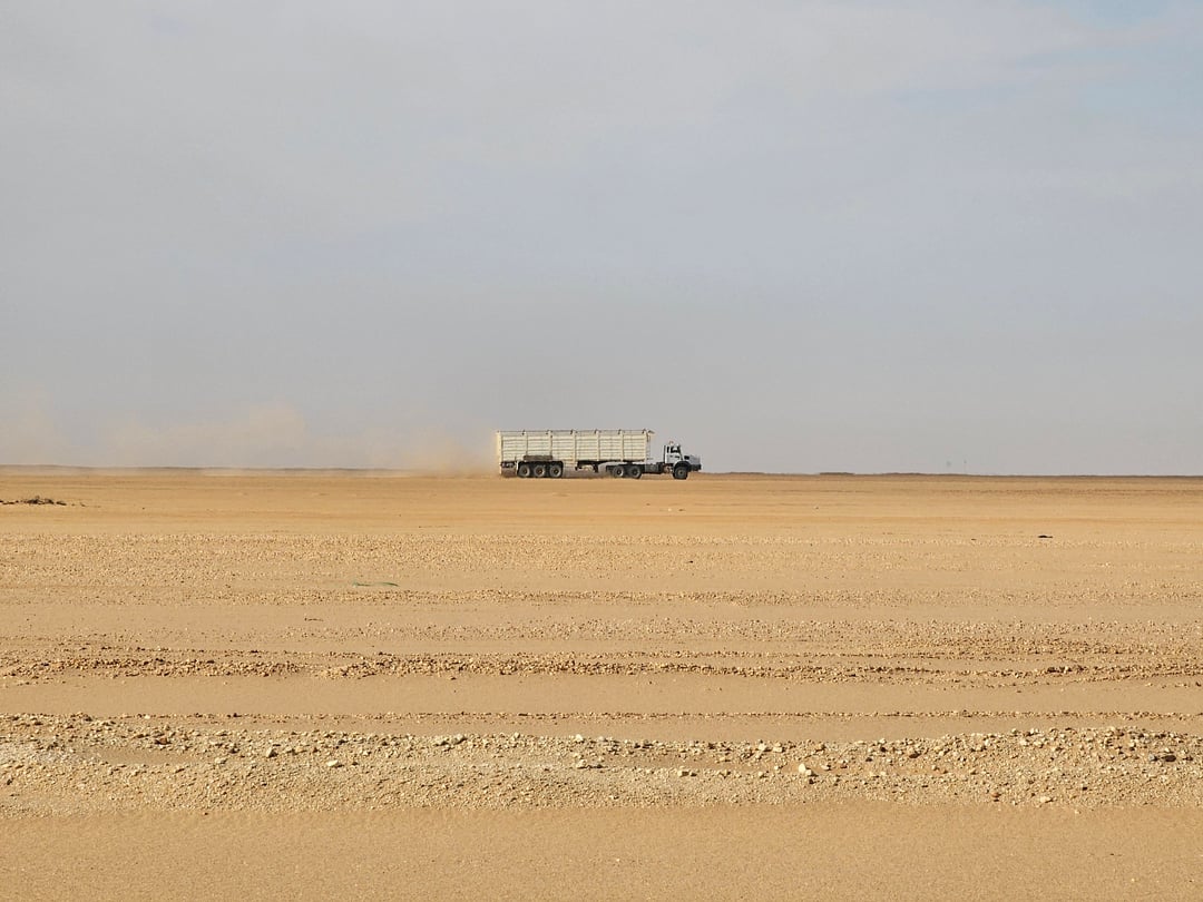
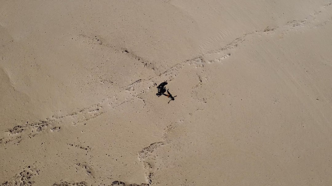
The route started from the village of Akabli (Tidikelt region) and reached PK200 (kilometer marker 200), covering 247 km in 3 days. This section was extremely difficult: deep sand, fully off-road, no settlements, no water sources, and no signs of human life,
I brought with me enough water for 6 days, 16 liters.
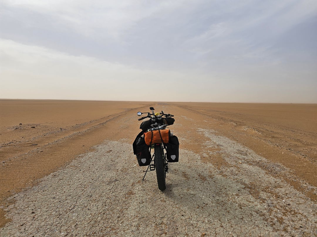
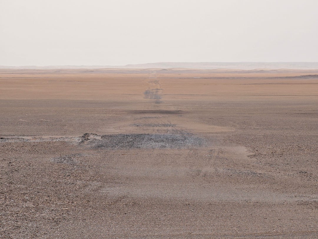
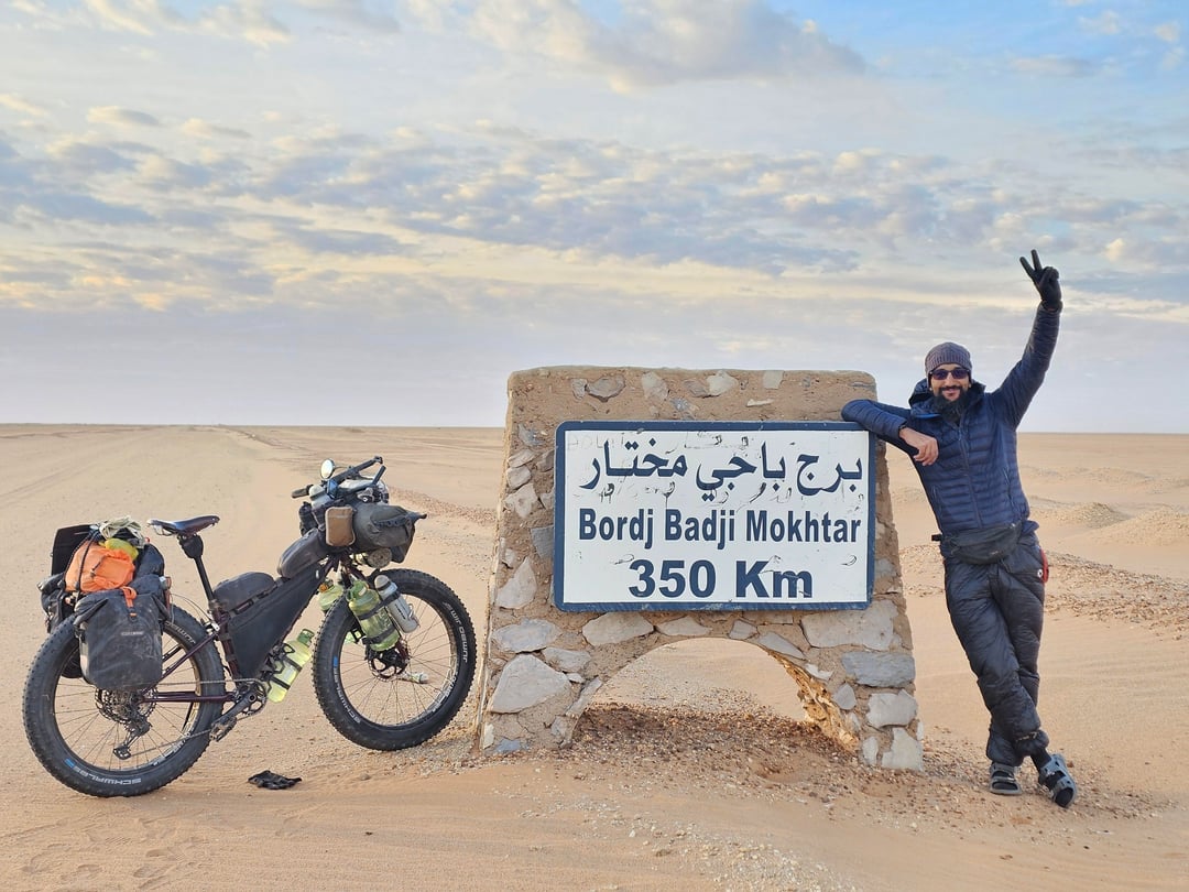
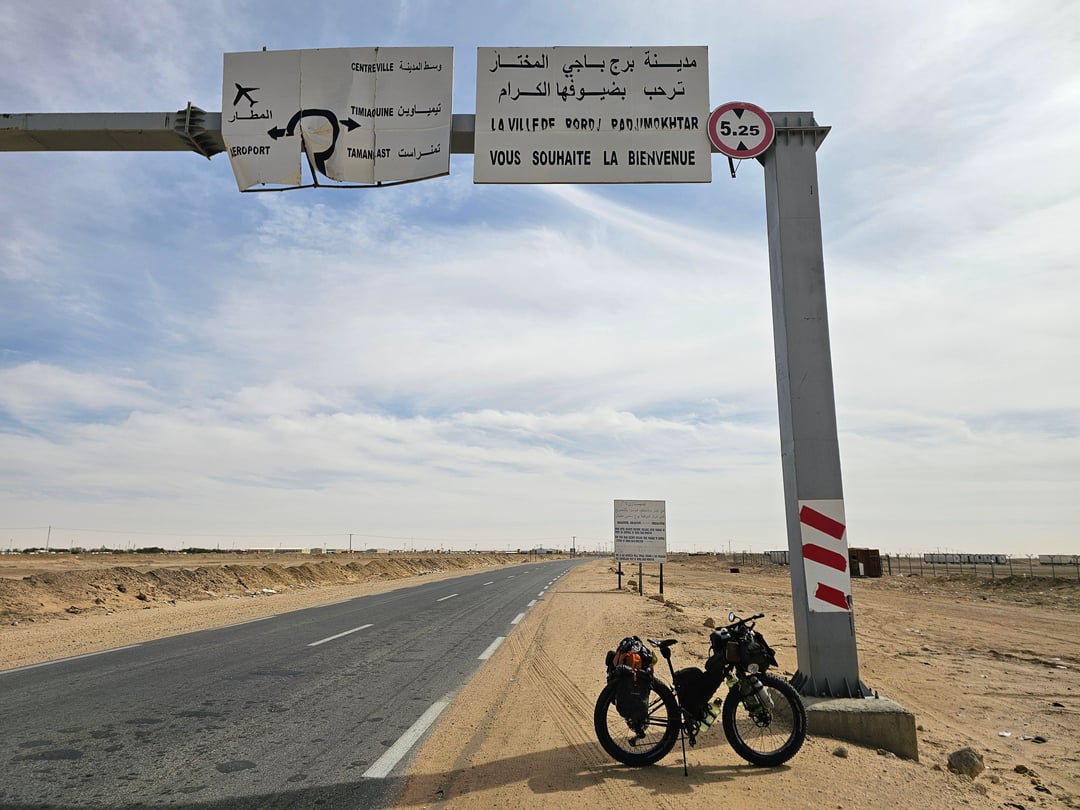
From PK200, I continued for approximately 450 km toward Bordj Badji Mokhtar (BBM), which I completed in 5 days. This part included long off-road desert stretches and the final paved road section approaching BBM.
• Total distance: 697 km
• Total duration: 8 days
• Off-road / sand: ~550 km
• Paved road: ~148 km
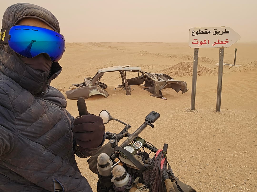
The main challenges were water logistics, navigation in a featureless environment, soft sand riding, mechanical reliability, and managing exposure to isolation and desert conditions.
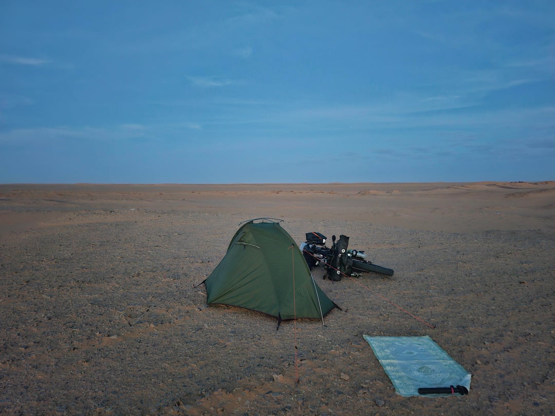
I undertook this adventure using a fat bike. (Surly Wednesday 26×4.40)
I documented the entire expedition on video. Short clips were shared on social media, and I’m currently preparing a full documentary-style video for YouTube.
I’m posting here to share the experience with fellow bikepackers and to contribute practical knowledge about remote desert bikepacking.
If there’s interest, I’m happy to share:
– route overview
– water strategy
– bike and gear setup
– navigation approach
– lessons learned and mistakes
Thanks for reading.
by Muhammadredha
8 Comments
Awesome dude, looks amazing.
Good distance covered i just about manage that on gravel 🤘
holy shit, that’s awesome. are you on instagram or youtube?
Really cool
How was it to bike on sand dunes? I suppose your bike was really heavy with all the equipment
Also how did you find your way around? Compass and maps ?
Great shots! Although I’m such a heavy sweater, 16L seems like a scary number! Did you use a Garmin or compass of some sort?
Those tires 💪🦵
I admire trips like this. But I wouldn’t want to do one myself. I’d find the long dessert so boring. I need variety. Incredible achievement though.
Would love to read how you managed water needs. This is an amazing achievement indeed habibi. Well done. Love from India.
Amazing achievement, 16l water for 6 days doesn’t sound much though!