
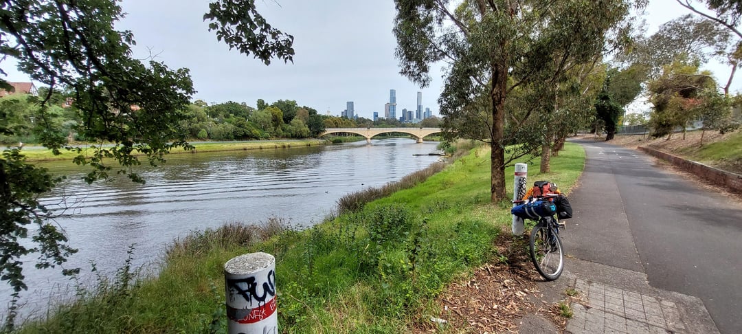
At the start of the year I did a bikepacking trip from Melbourne to Sydney via the coast, 1700km. I wanted to do an off-road route, avoid the highways, avoid any traffic – but no hardcore mtb stuff, just gravelling.
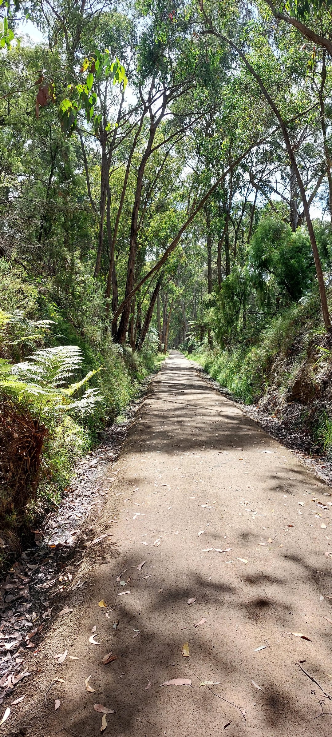
The rail trails got me out to Orbost on an almost 100% off-road route relatively easily, but from there – nothing. I asked the nice ladies at Visitor Info Centres but all they could provide were maps and your standard tourist info. I had 4 weeks to reach Sydney and got to Orbost in 2 after delays and detours in Victoria, so I was running out of time and decided to just grit my teeth and take the Princes Hwy to South Coast NSW, maybe I would find an off-road path from there.
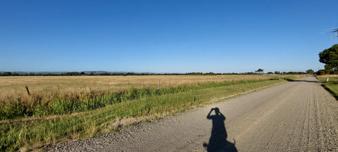
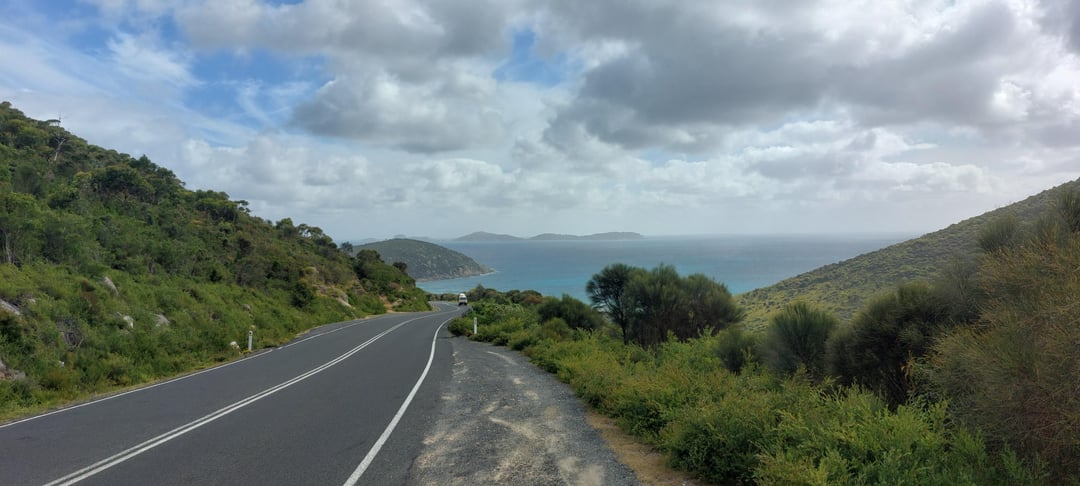
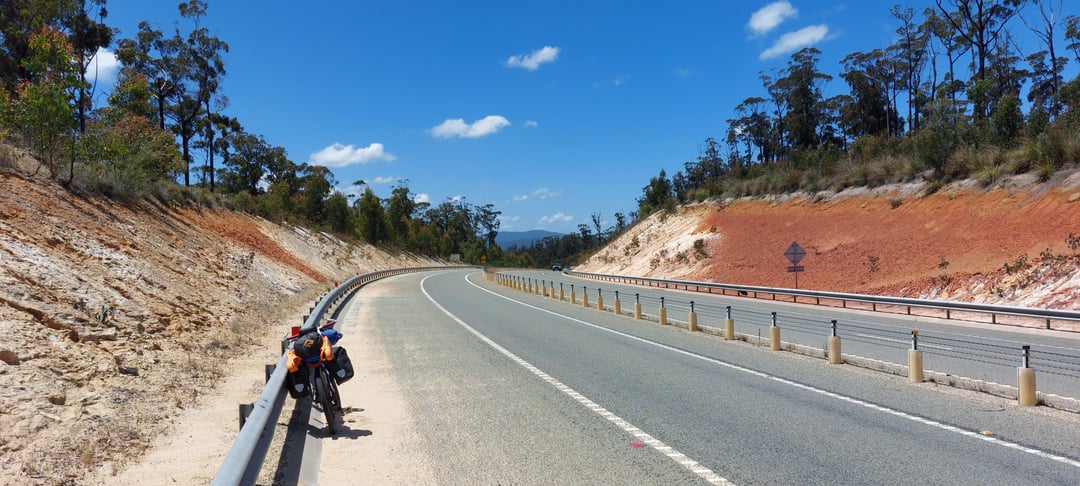
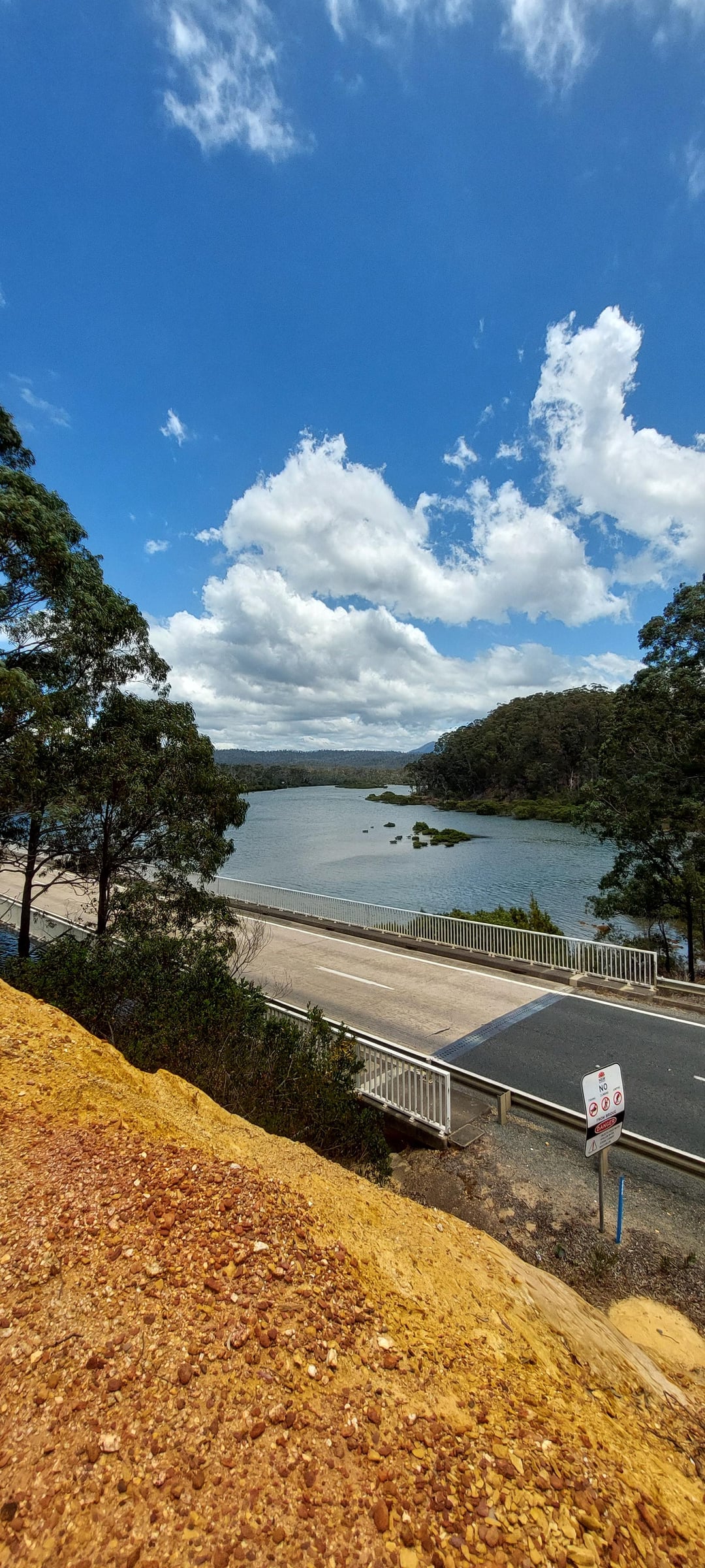
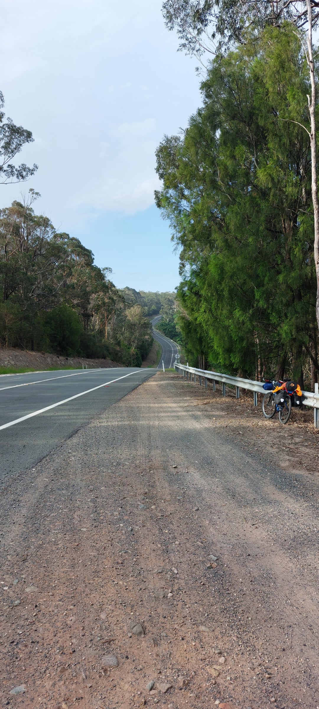
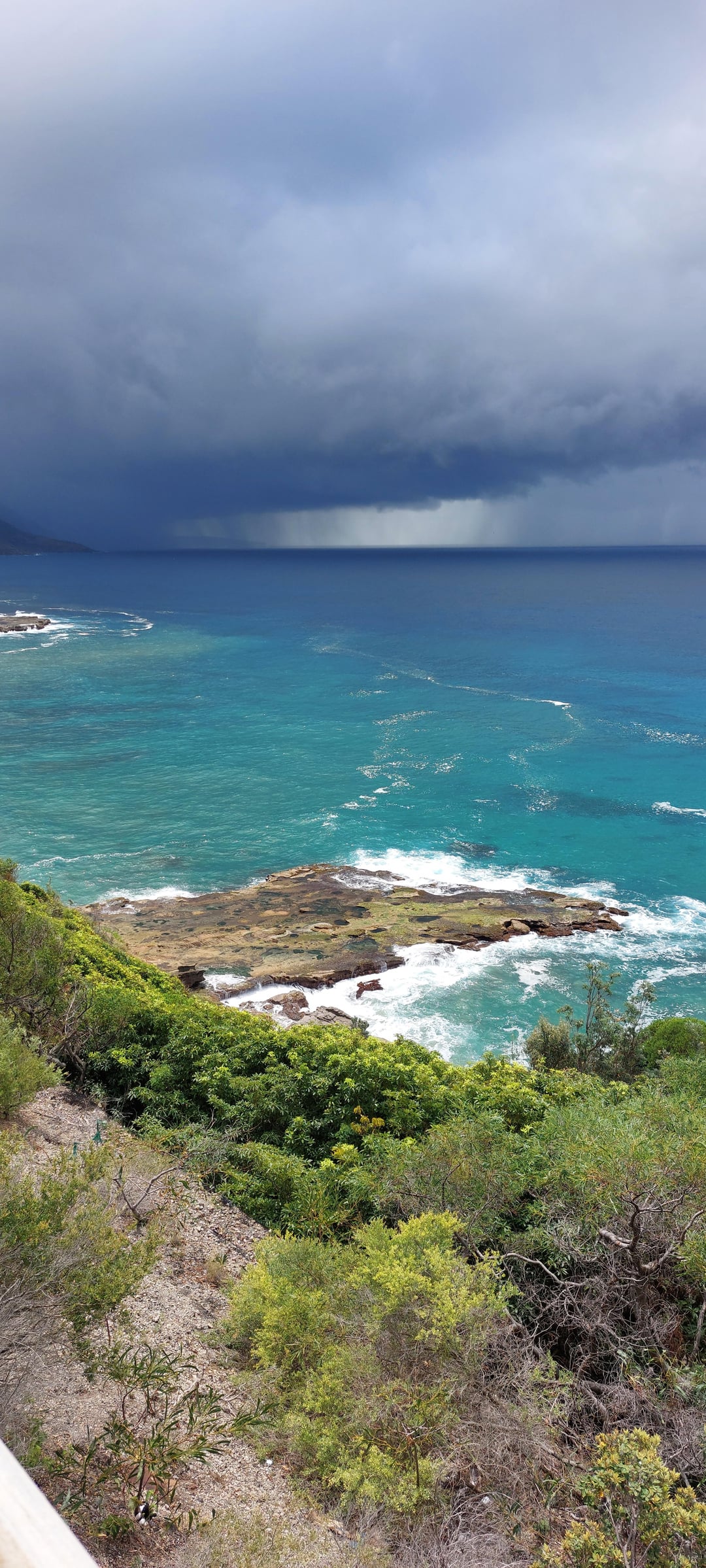
I did not find an off-road path from there – the terrain on the South Coast is challenging and there aren't many options for deviations from the highway. There were a few little minor tracks that I used but nothing of any great distance.
Fortuitously, someone posted The Grondo 2024 route to reddit as I was approaching Moruya, south of Batemans Bay. It tracks a zig-zagging off-road route from Sydney to Mt Kosiosko. I ended up detouring to Braidwood to follow it in the opposite direction back to Sydney, but ran out of time and had to just push for Sydney on the highways.
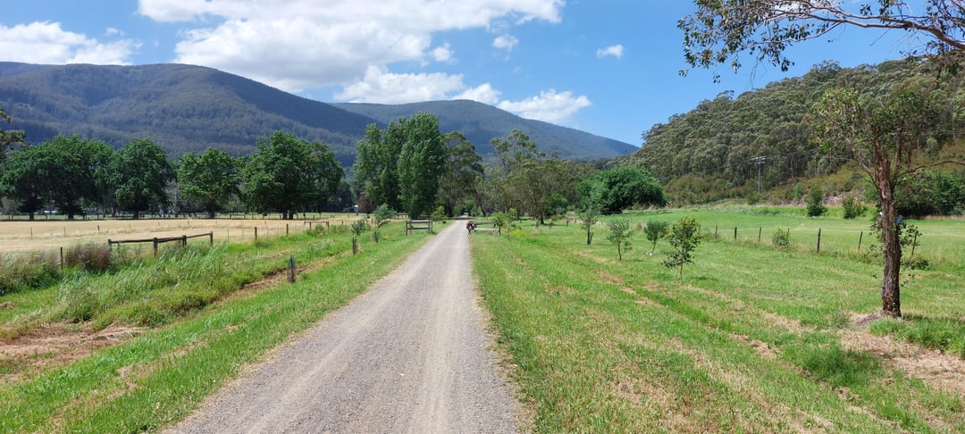
So I completed my trip but wasn't that happy about how it turned out. When I got home, I looked into what I could have done, found another route called Attack of the Buns that fit into the jigsaw puzzle of Melb-Syd route, added that to The Grondo. To link the Grondo to Orbost I came up with the Bemm River Route that follows the Bemm River (no hills when you follow a river) that goes through the Errinundra National Park up to Bombala. From there you can link to the Grondo via gravel roads, or head down to Eden on the South Coast via The Bundian Way avoiding alot of the Princes Hwy stretches, or head to the Snowy River and Jindy via McKillops Rd (dirt). Very versatile. If there's heavy rain there's the Bonang rd as backup. There is the Ada River Freecamp halfway. There are dirt roads that will get you from Marlo (near Orbost) to Bemm River coastal town.
Anyway, I put everything on a custom uMap + my trip route and journal notes. Here's the link:
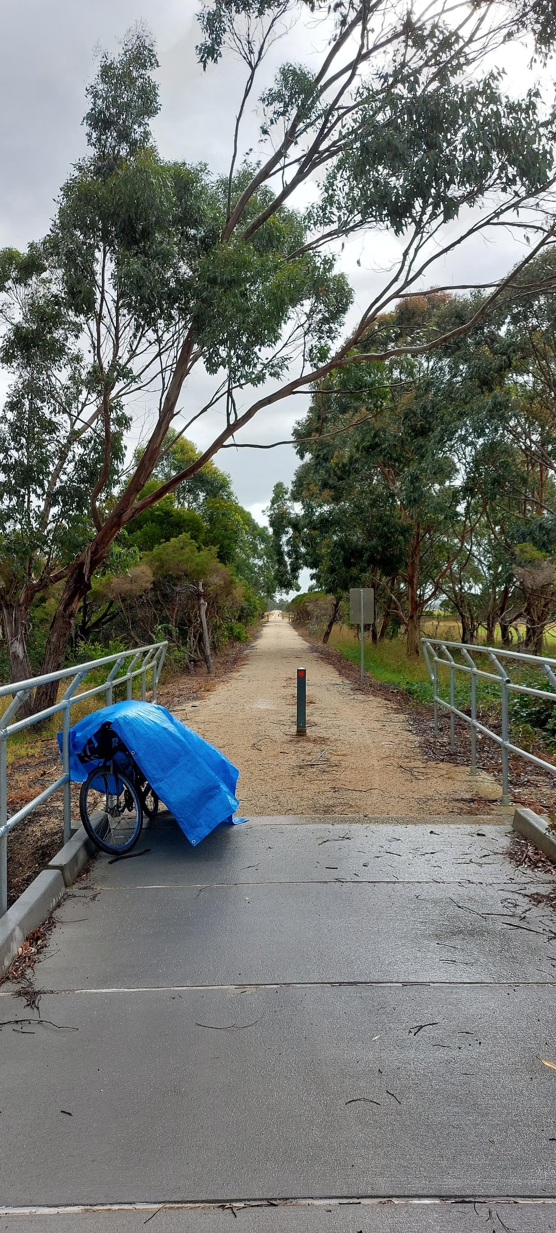
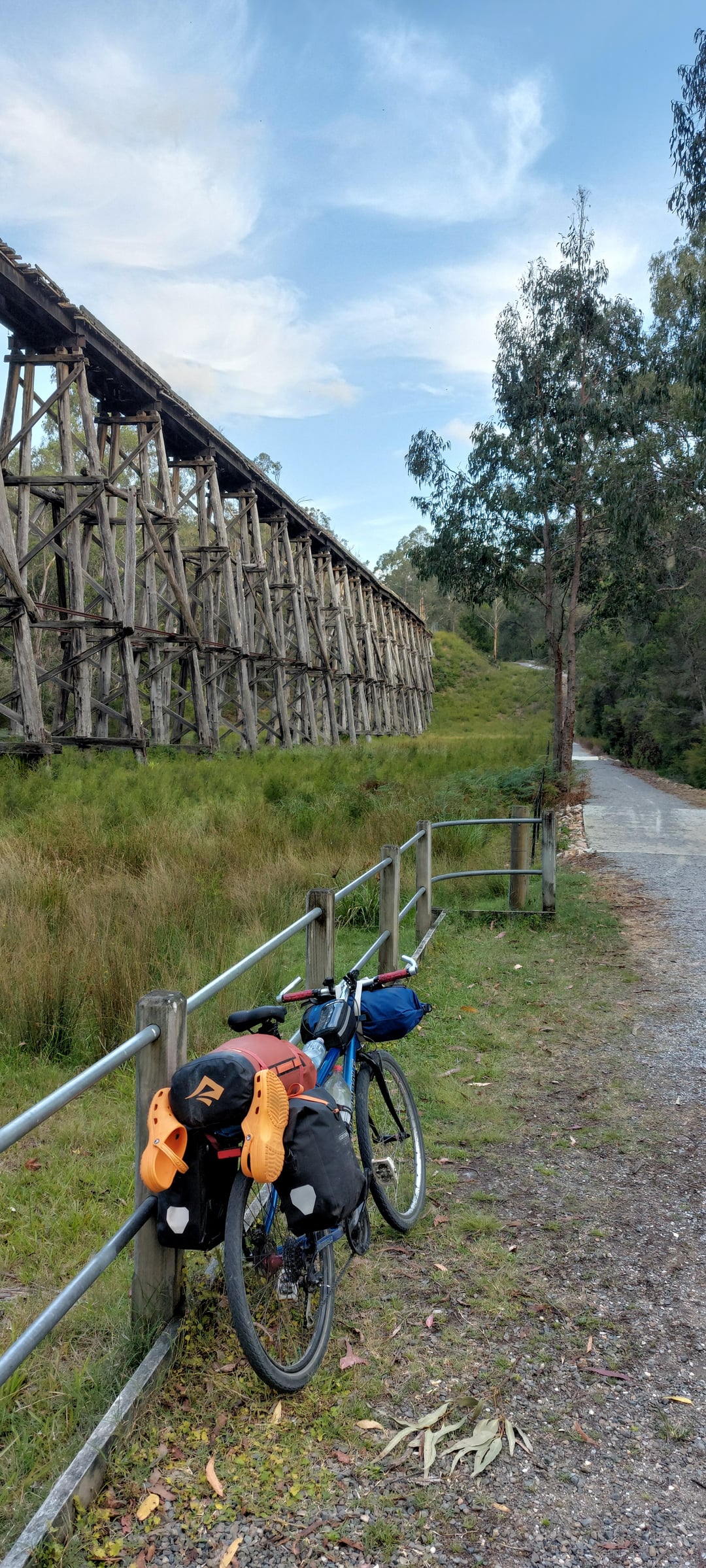
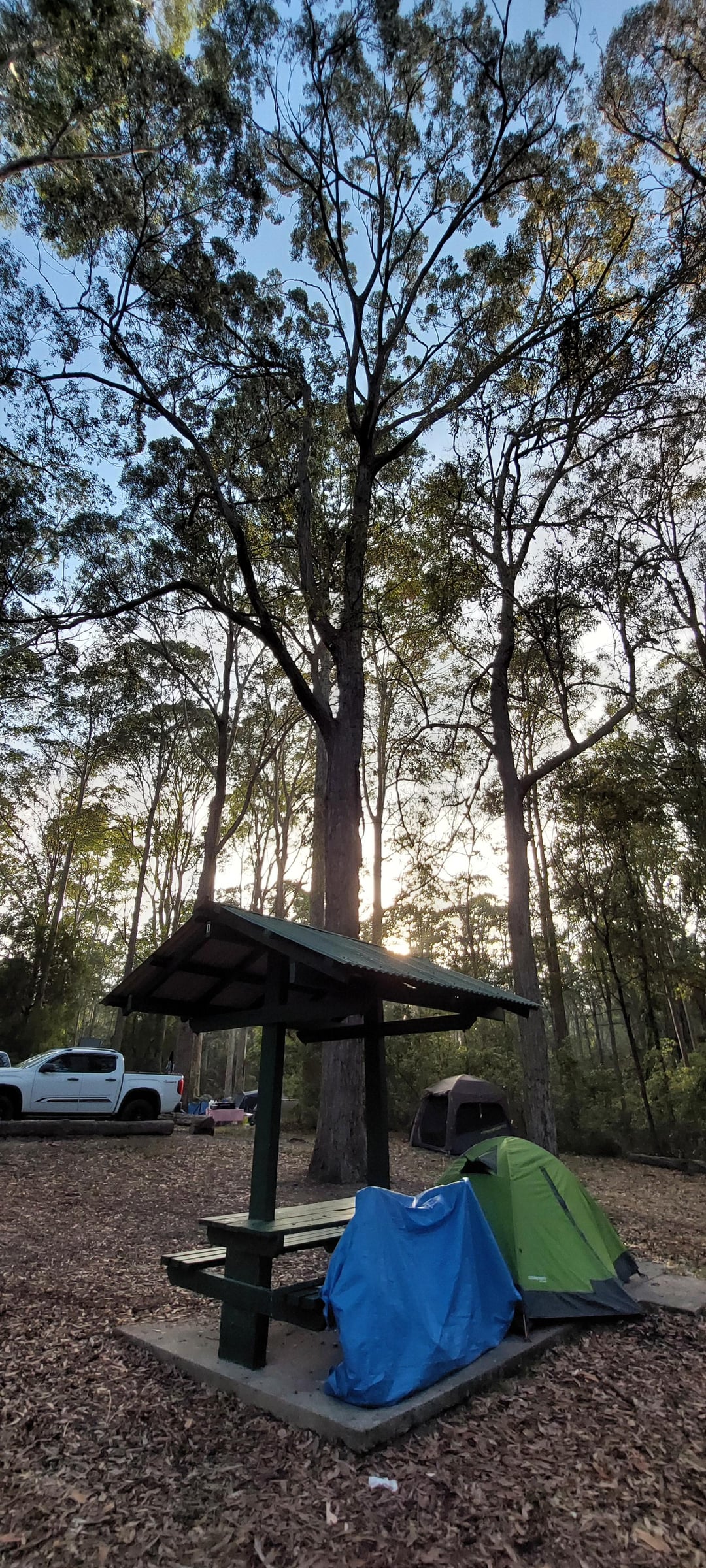
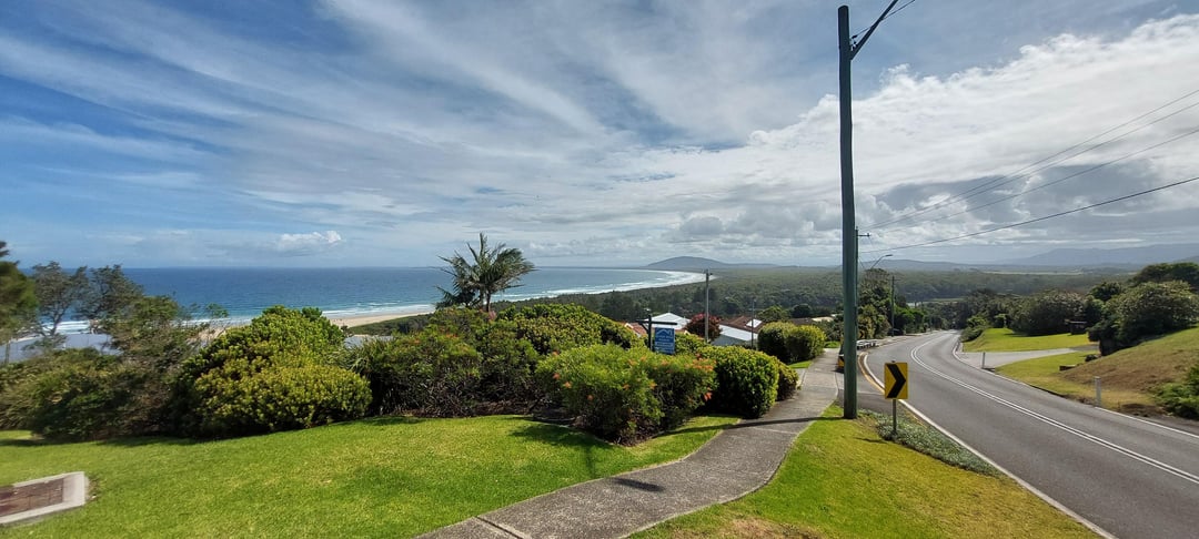
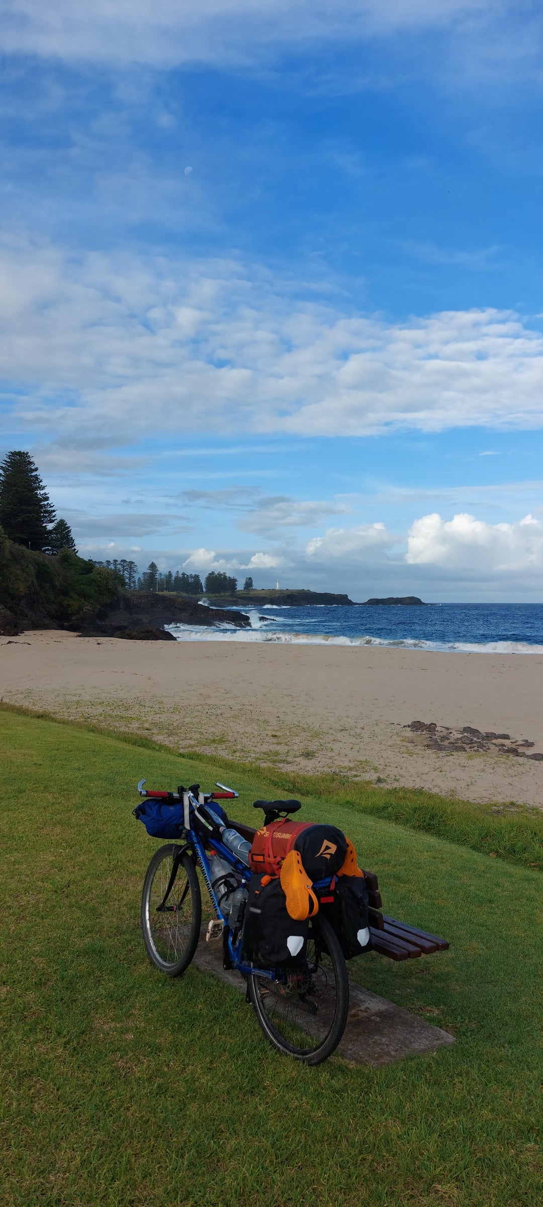
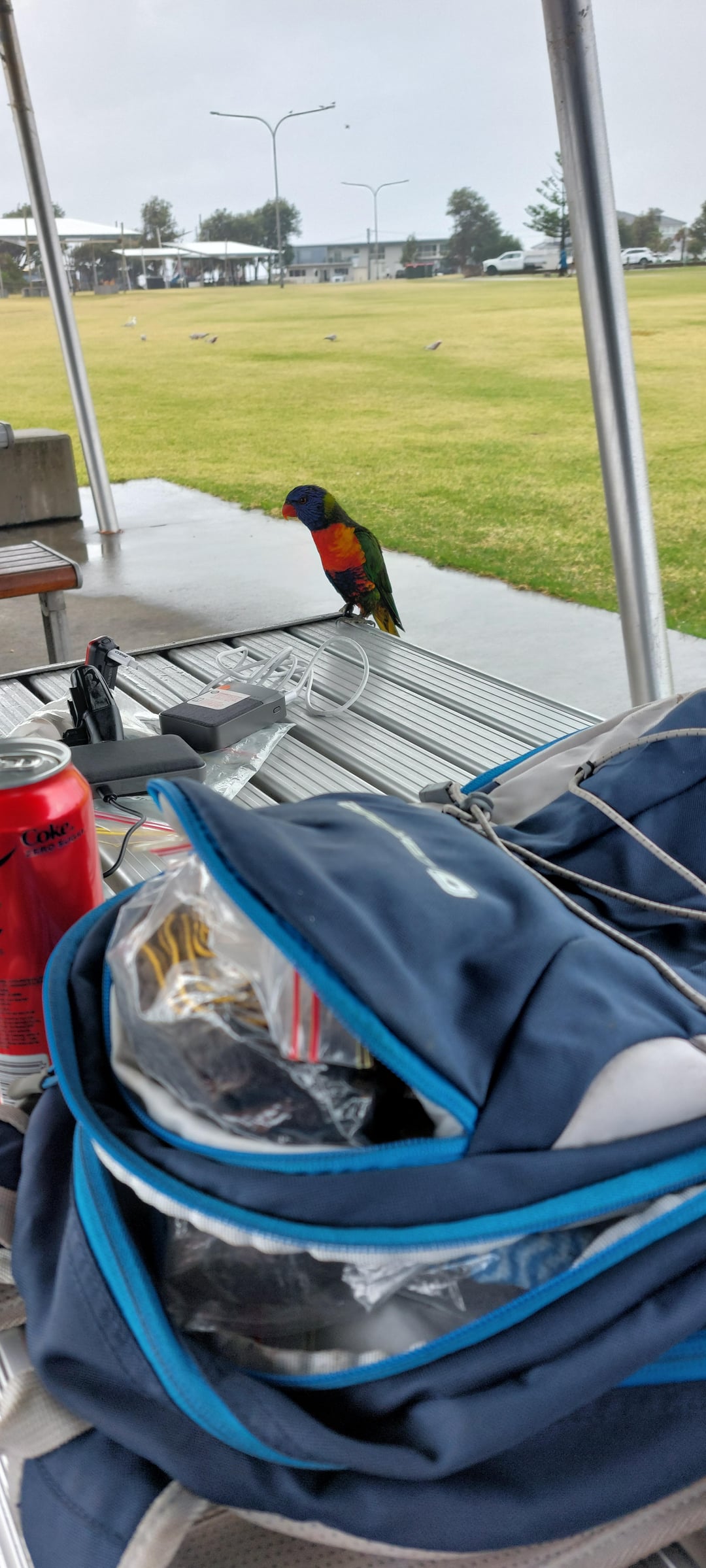
Hopefully it's useful to others. Most of my thoughts on the Bemm River route are in the slide out of the path itself inside my custom uMap linked above. And there's more in my Final Day path slide out (Day 29), and advice and info if you are tackling Melb-Syd on a bike. There is also my journal notes and pictures for each day of my trip. I added points of interest (pink dots) and camping spots, some comments and important shops. It got a bit out of hand but hopefully useful to others who are doing this cycle tour. Everything is on a layer you just turn off if it's too cluttered.
It would be nice to have official Velo-style routes like in Europe one day in Australia, that link the cities, preferrable off-road and away from the highways because Aus highways are just really dangerous for cyclists.
by b1__
3 Comments
A screenshot of the map (linked in my post) with my route (dark blue), Bemm River route (light blue), The Grondo 2024 (green), proposed Monaro Rail Trail (orange), Attack of the Buns (yellow), Bundian Way (very light blue), Hunt1000 (red), Grand Ridge Ride, Strzelecki Ranges (kaki), milestones dots (bright orange).
https://preview.redd.it/kst7khclqmuf1.jpeg?width=1821&format=pjpg&auto=webp&s=b09492d43de0bb833e4714d5aa2e0057353e2bd0
Very cool. How long did it take you in total?
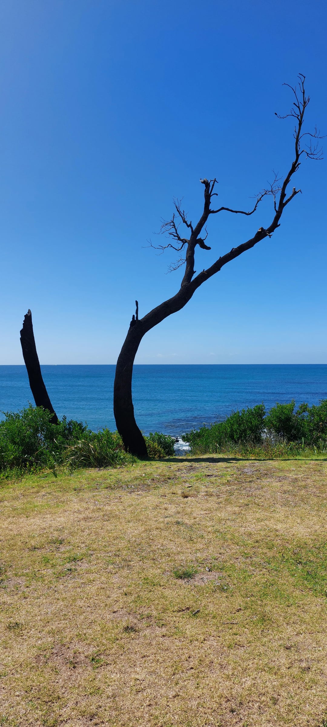
Stunning views!
I’ve been in down under in 2016 and I feel like recognizing some of the views as we were driving from adelaide all the way to brisbane, mostly along the coast too.
Soaking up the country by bike must be so much nicer than just rushing through it in a motorhome!