Everywhere I go, someone warns me about how dangerous the next place is. I don’t want to be careless, so I always take it in and appreciate that the advice is coming from a place of concern for my well-being.
I only follow the advice, however, if it’s highly specific. Tell me to avoid a certain neighborhood after dark and I’m listening. Tell me to skip all 7,000 square miles of Atlanta and I’m gonna assume you’ve lost your damn mind.
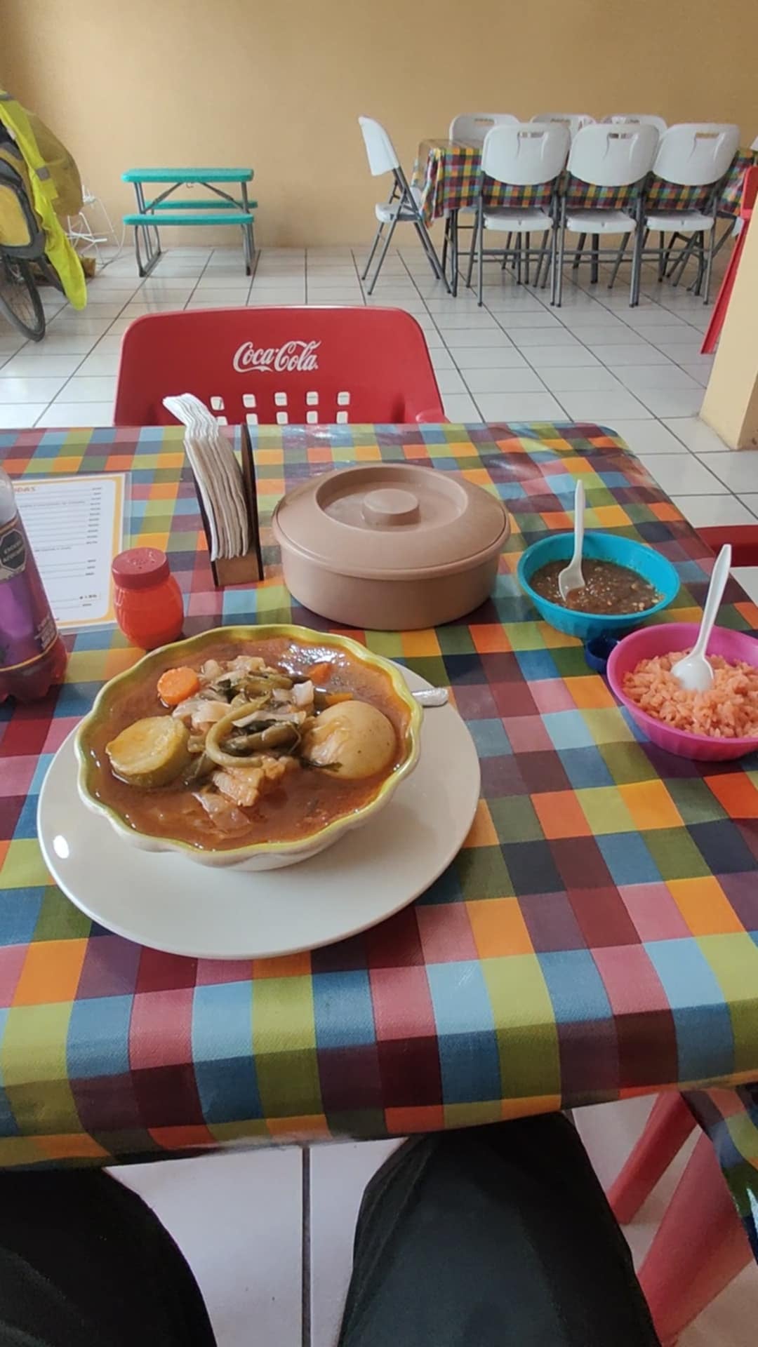
This is all especially relevant at the southern border. The cartels are real. They have de facto control over certain regions of Mexico. Kidnapping for ransom happens. People are murdered randomly. People are murdered to make a point. Skirmishes with the Federales can break out at any time. The danger is real.
Also, I want to see the world, including a whole lot of places that don’t have all-inclusive resorts. So, when Google Maps offered me two routes from the coast to El Paso, the one through Mexico stared at me seductively, begging me to give up my international cycling virginity.
Where might you go if you knew which dangers were real or imagined?
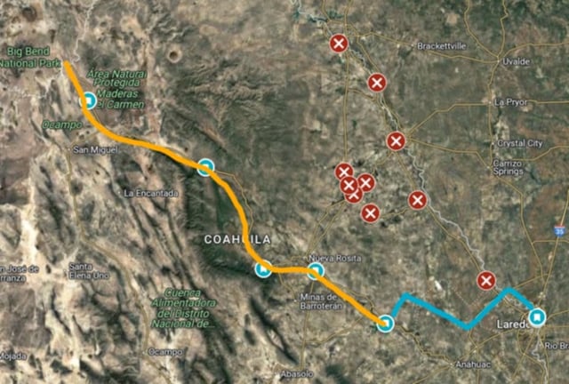
I consulted the State Department’s travel advisories. Most of the border areas were extremely high risk, on par with Ukraine and North Korea. There was one path listed as moderate, though, and the inland areas also appeared safe.
I hemmed and hawed for weeks. I searched bike forums for firsthand accounts. Checked travel advisories, again. I asked every Texan in sight. Most gave vague warnings. A few had specific knowledge. One host connected me with a cyclist who went that way recently. He had a lot of great advice. I triple-checked the travel advisories.
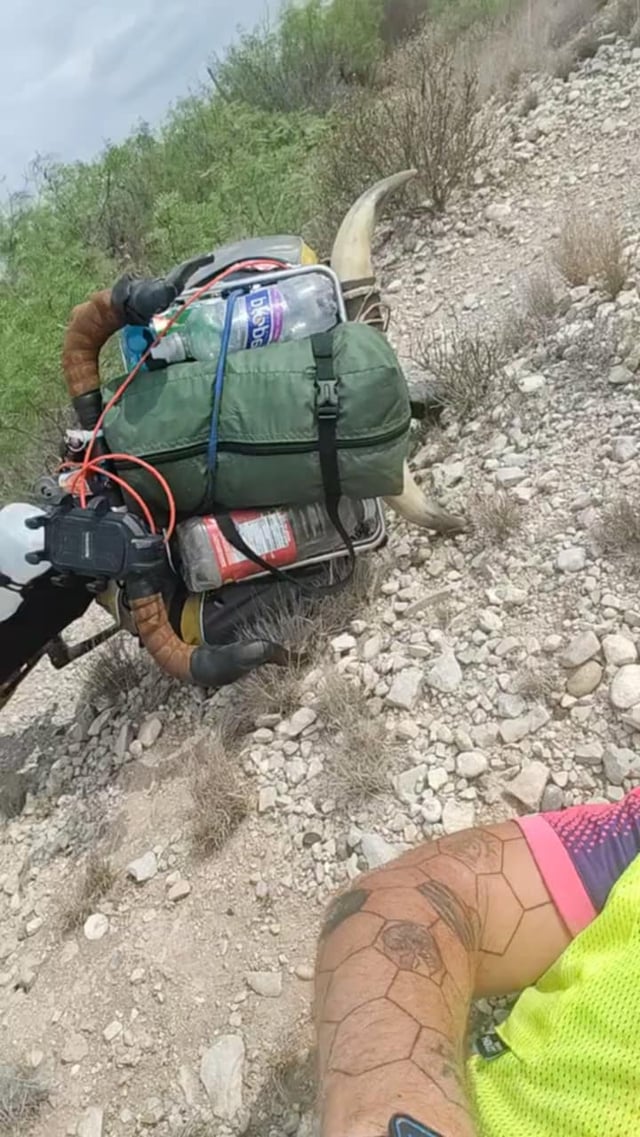
It started to seem realistic. I’d start each day early to find my sleep spot in the daylight. I’d stay in hotels whenever possible and get someone’s permission before camping anywhere. I double-checked my inventory, adding a few extra bike tools, a water filter, and iodine tablets. My bags were stuffed with so much food that any buzzards circling overhead would surely starve before I did.
Then I built a Google doc with my itinerary, GPS link, consulate info, and emergency contacts. I even wrote a series of secret questions that could be used to confirm my identity and whether or not I was in danger. It seemed silly… and prudent. I shared it with my girlfriend, brother, and cousin, trusting them to bail me out of any trouble.

1 Comment
Everywhere I go, someone warns me about how dangerous the next place is. I don’t want to be careless, so I always take it in and appreciate that the advice is coming from a place of concern for my well-being.
I only follow the advice, however, if it’s highly specific. Tell me to avoid a certain neighborhood after dark and I’m listening. Tell me to skip all 7,000 square miles of Atlanta and I’m gonna assume you’ve lost your damn mind.
This is all especially relevant at the southern border. The cartels are real. They have de facto control over certain regions of Mexico. Kidnapping for ransom happens. People are murdered randomly. People are murdered to make a point. Skirmishes with the Federales can break out at any time. The danger is real.
Also, I want to see the world, including a whole lot of places that don’t have all-inclusive resorts. So, when Google Maps offered me two routes from the coast to El Paso, the one through Mexico stared at me seductively, begging me to give up my international cycling virginity.
Where might you go if you knew which dangers were real or imagined?
I consulted the State Department’s travel advisories. Most of the border areas were extremely high risk, on par with Ukraine and North Korea. There was one path listed as moderate, though, and the inland areas also appeared safe.
I hemmed and hawed for weeks. I searched bike forums for firsthand accounts. Checked travel advisories, again. I asked every Texan in sight. Most gave vague warnings. A few had specific knowledge. One host connected me with a cyclist who went that way recently. He had a lot of great advice. I triple-checked the travel advisories.
It started to seem realistic. I’d start each day early to find my sleep spot in the daylight. I’d stay in hotels whenever possible and get someone’s permission before camping anywhere. I double-checked my inventory, adding a few extra bike tools, a water filter, and iodine tablets. My bags were stuffed with so much food that any buzzards circling overhead would surely starve before I did.
Then I built a Google doc with my itinerary, GPS link, consulate info, and emergency contacts. I even wrote a series of secret questions that could be used to confirm my identity and whether or not I was in danger. It seemed silly… and prudent. I shared it with my girlfriend, brother, and cousin, trusting them to bail me out of any trouble.
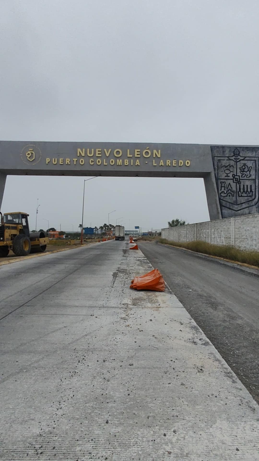
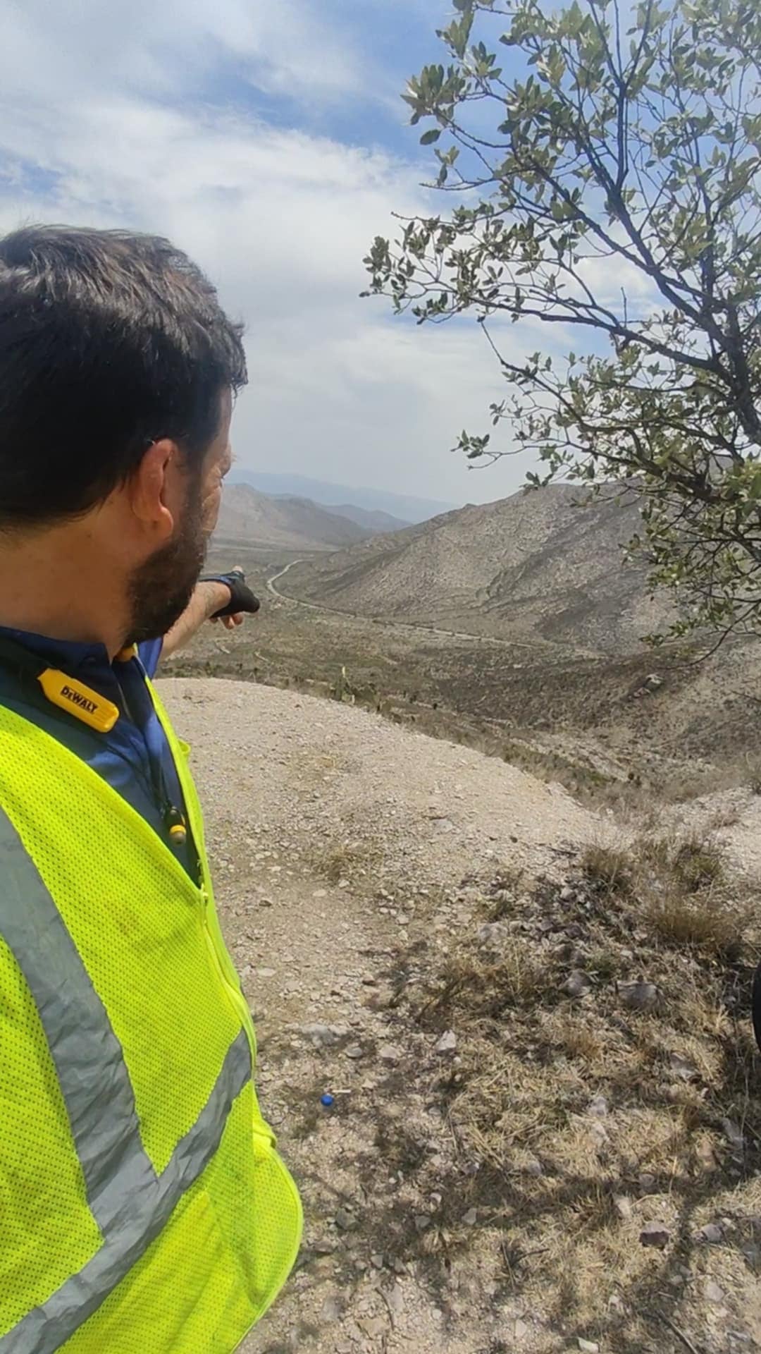
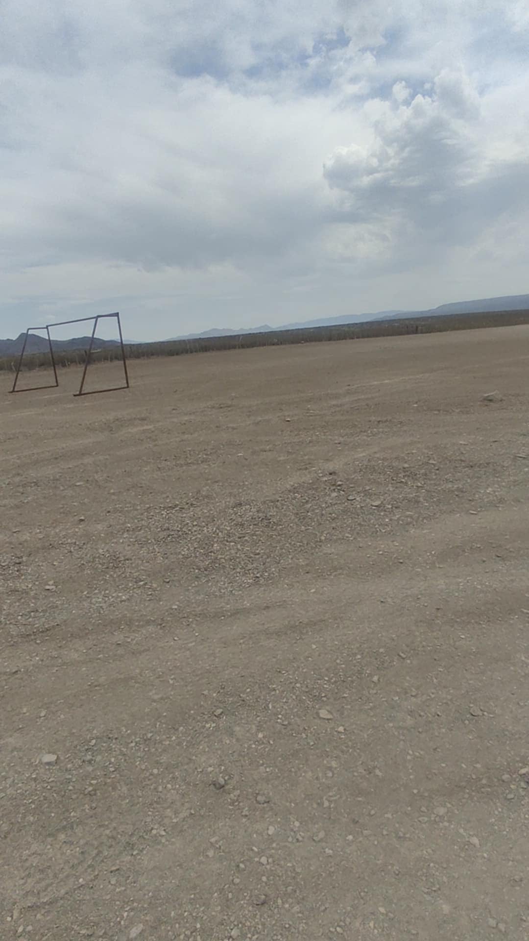
Then I went for it, just north of Laredo.