
Last summer I did a 99% handheld map tour. It was epic. However, maps are expensive, and I am looking for alternatives… the idea was to make a digital version.
I have a kobo (e-reader) that I travel with. I can upload pdfs, cbz (a bunch of jpegs smashed together), etc. This is where I would store my maps per country / per region etc.
Is there anywhere that has a ton of images of cycle routes, or do I need to make it myself?
As of right now I do not want any OSM software mumbojumbo, but feel free to recommend it if you want, I may want it if this plan fails. You can also recommend bike maps, I have been looking for a good cylinder bike map but it seems they are not being made anymore…
by Secret_Camera6313
2 Comments
You can take virtually any map app import a gpx and the route is shown on the map (phone, gps whatever). So not sure what exactly you are trying to accomplish that is not already a standard feature for map apps. You can obviously export screencaptures/print the maps, but the only thing you really achieve is that you loose the zoom feature and you’re no longer automatically shown where on the route you are. The way I look at it, you only make life harder without any upside to it. Unless you print them to paper so you are no longer dependent on electronics that may fail or run out of juice.
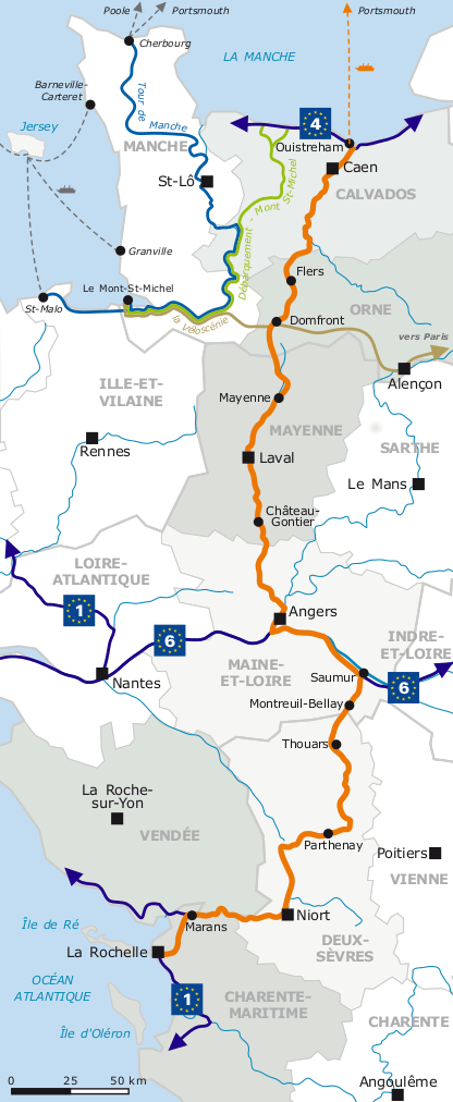
This seems to be exactly what you are looking for, at least for this exact route: https://cycle.travel/route/velo_francette
Click “Download PDF map”, there you go. They have other routes as well.