
Hi Gravel Friends,
I recently got more into riding gravel, and have been exploring the areas nearby to my home. Our gravel “segments” are mainly scattered, connected with asphalt roads, so have been struggling a bit with creating the ideal tracks for riding.
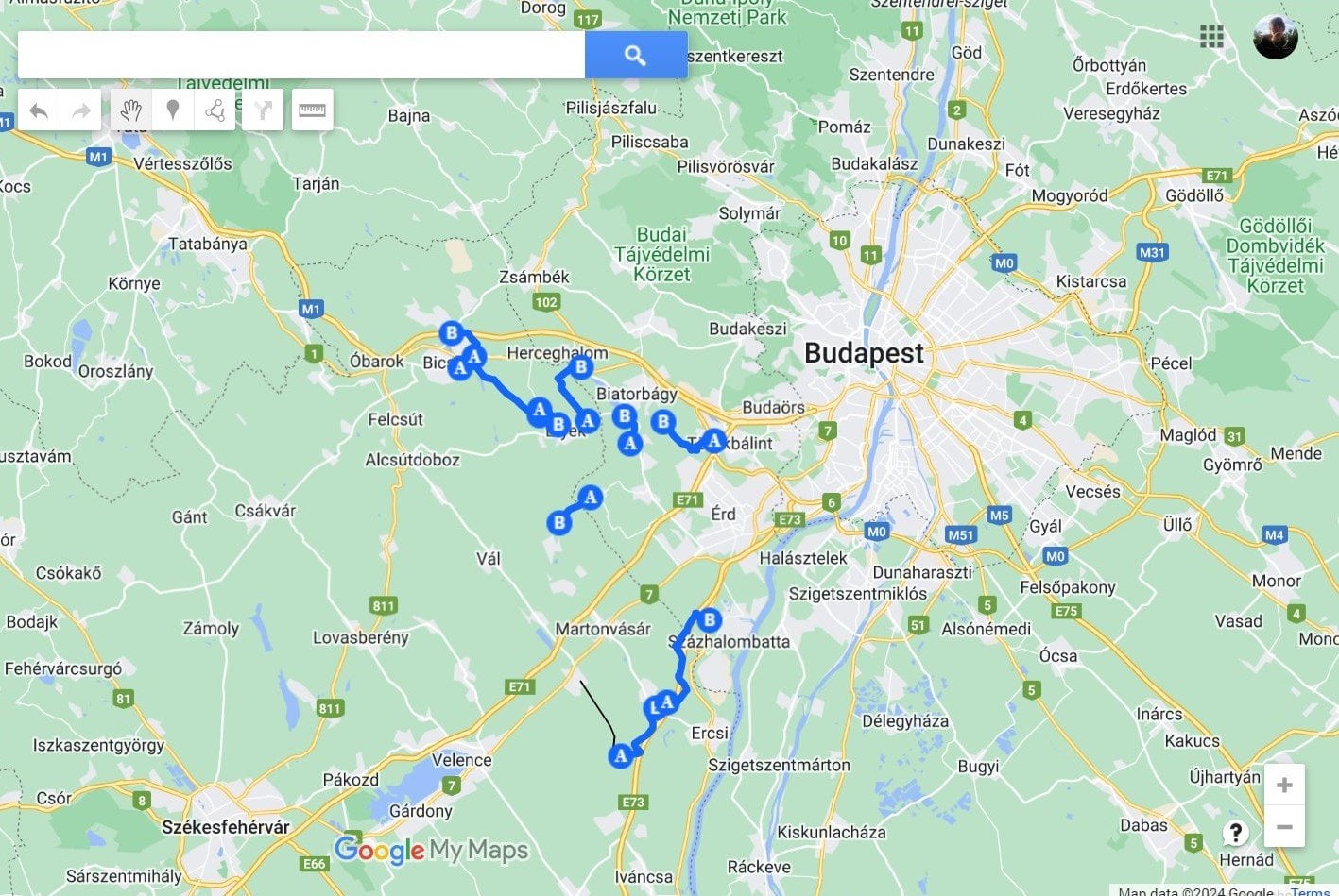
What I’m aiming to create is a custom map where I can show all the gravel segments I have ridden, and then use the map to “connect them” with asphalt sections, and create tracks with varying lenghts that I can load to my Garmin. I know this can be done manually, but having a single map with all known segments would make planning much easier.
I tried with Google Maps (see screenshot [here](https://ibb.co/5jSKNkZ)), but that limits me to 10 layers (i.e., 10 sections) – the outline is what I’m aiming for, but **looking for a platform that enables me to create this fully.**
Any pointers or ideas would be great, TIA!
by antalgergo
1 Comment
“connect them” — getting warm.
[Garmin Connect](https://connect.garmin.com/).
After you’ve done a ride, go to the gear icon on top right and add to your courses. The map will then at least show icons where you have a course; not quite the route, but at least the start/stop point.