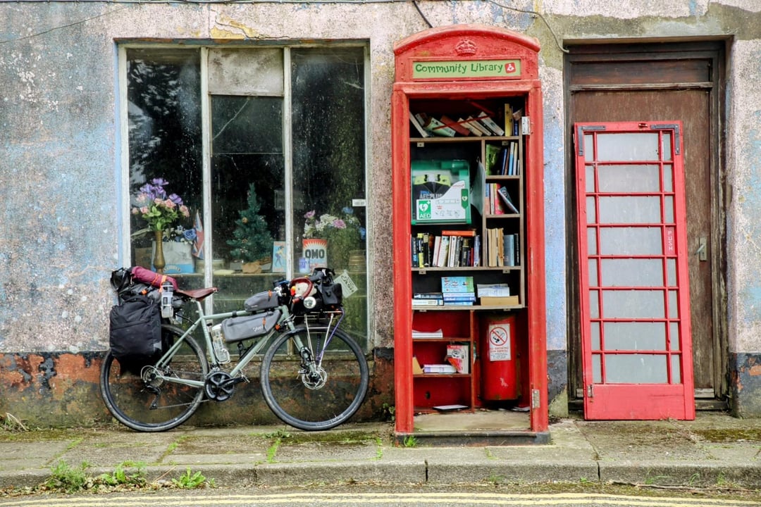
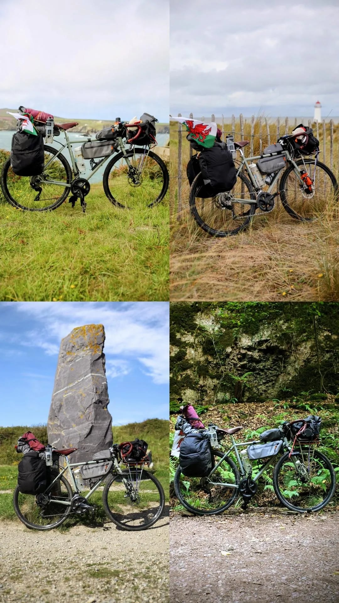
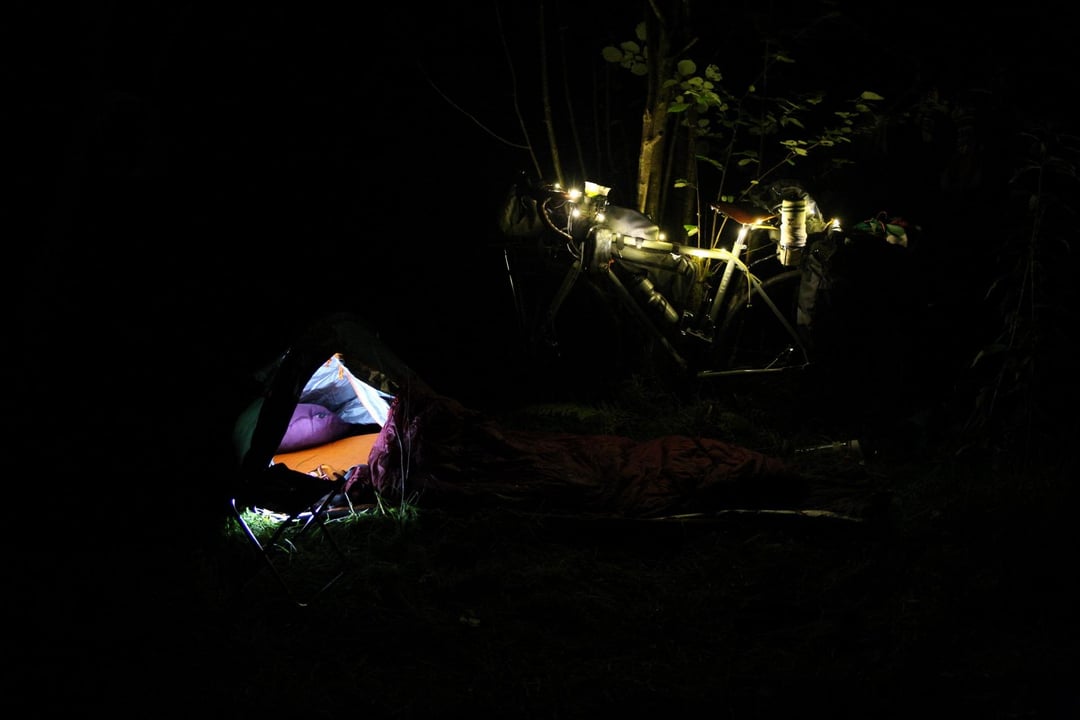
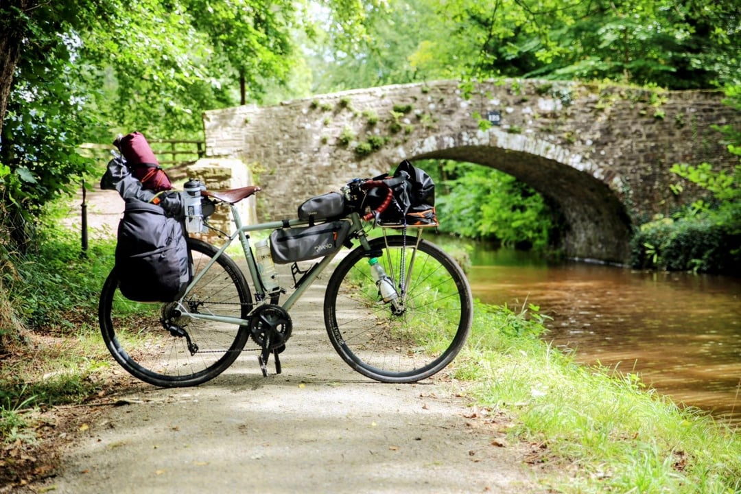
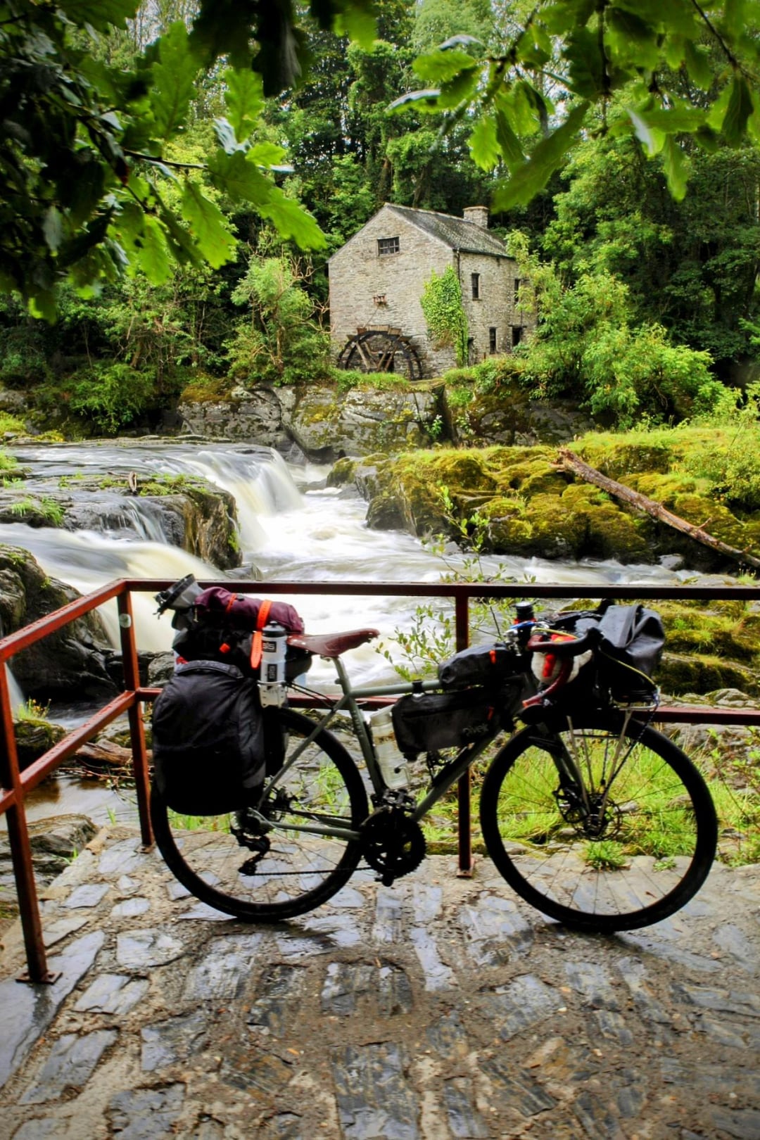
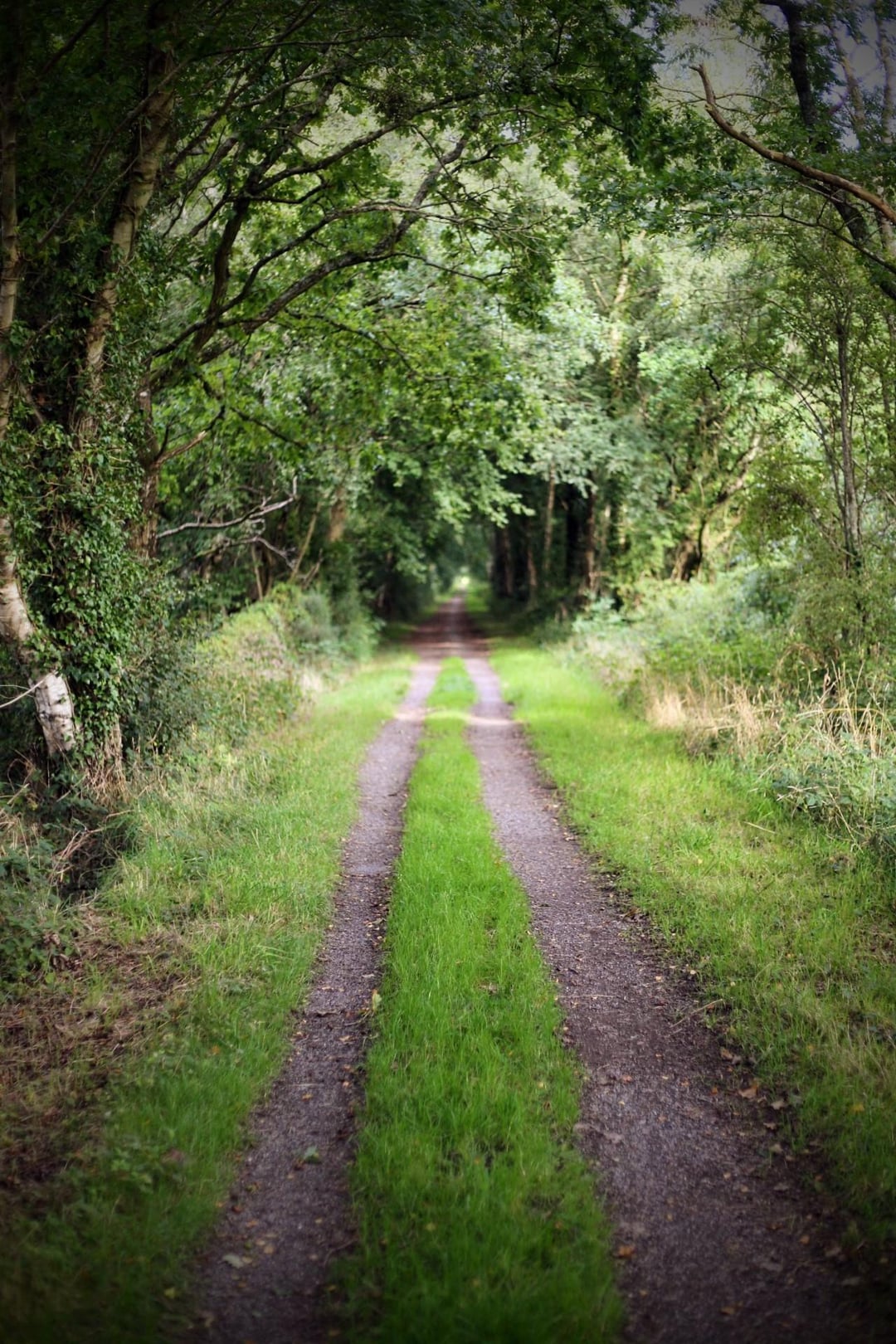
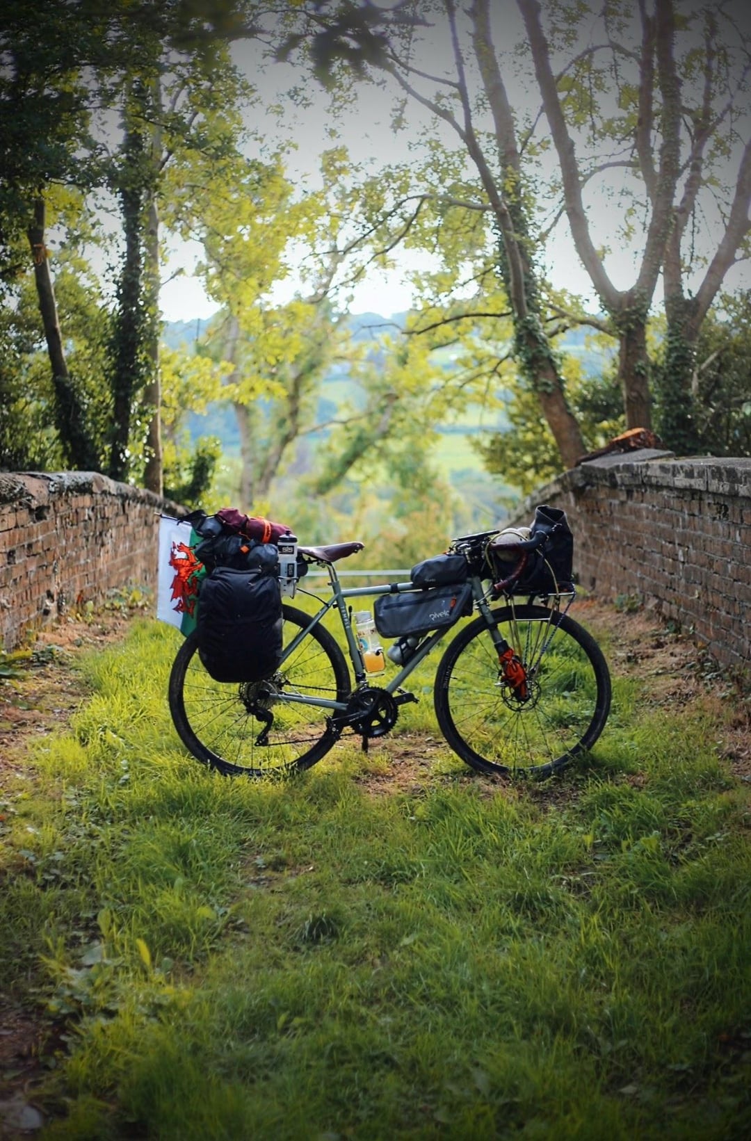
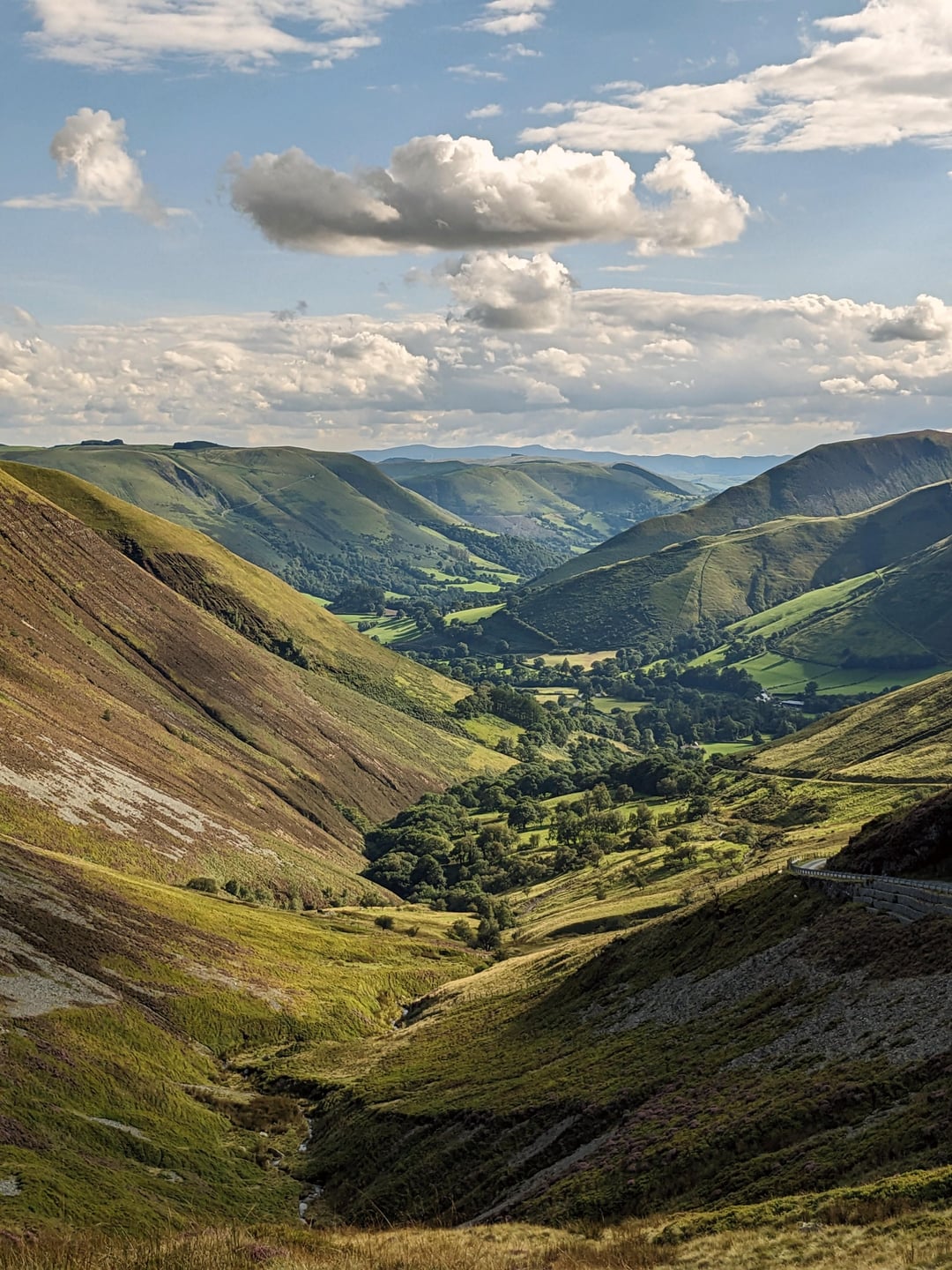
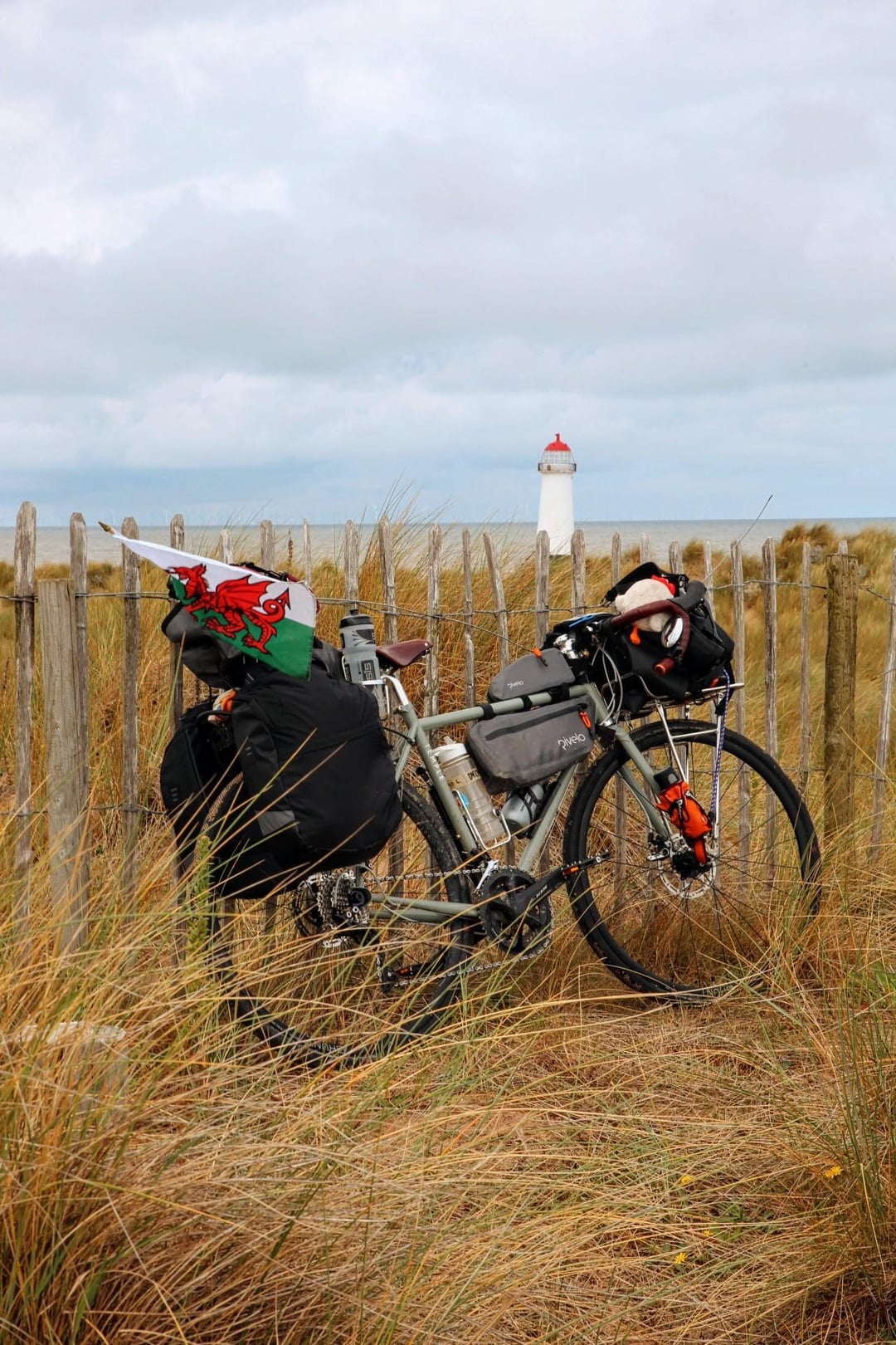
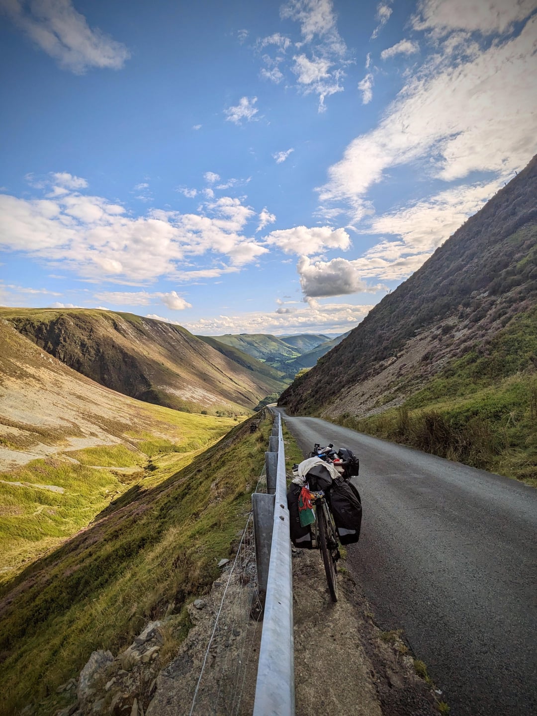
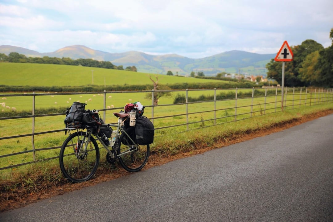
I’m currently planning another bikepacking trip, which reminded me that I forgot to share my first bikepacking experience from last year with you all – a solo journey to the extreme points of Wales. Here are some of my favourite photos from that adventure.
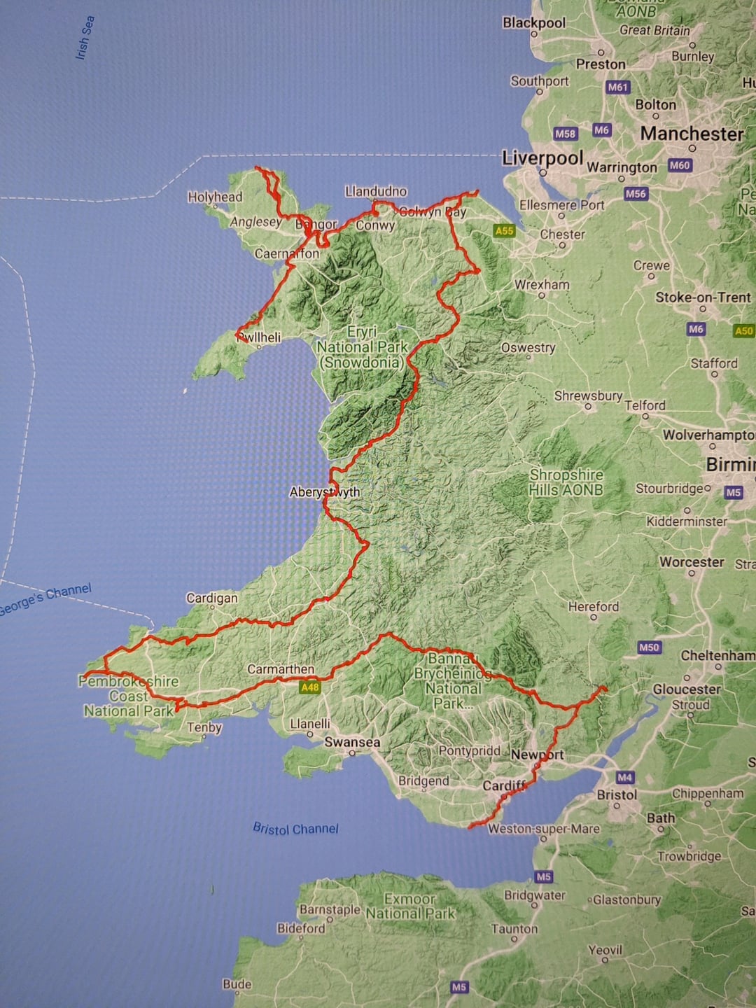
I got the idea of visiting the extreme points (Furthest North, East, West, and South) from YouTuber ‘Geoguessr’, who walked across Wales in a straight line from East to West (shortest route). Being from Wales myself, I wanted to explore more of the country I live in.
Having specific points to reach felt like achieving milestones along the way.
The points I visited were as follows:
* North: Point of Ayr – Flintshire.
* West: Pen Dal Aderyn – Pembrokeshire.
* East: Forest of Dean, Monmouthshire.
* South: Rhoose Point, Vale of Glamorgan.
* Bonus Point: The northernmost point of Ynys Mon, as the island was on the way.

1 Comment
I’m currently planning another bikepacking trip, which reminded me that I forgot to share my first bikepacking experience from last year with you all – a solo journey to the extreme points of Wales. Here are some of my favourite photos from that adventure.
I got the idea of visiting the extreme points (Furthest North, East, West, and South) from YouTuber ‘Geoguessr’, who walked across Wales in a straight line from East to West (shortest route). Being from Wales myself, I wanted to explore more of the country I live in.
Having specific points to reach felt like achieving milestones along the way.
The points I visited were as follows:
* North: Point of Ayr – Flintshire.
* West: Pen Dal Aderyn – Pembrokeshire.
* East: Forest of Dean, Monmouthshire.
* South: Rhoose Point, Vale of Glamorgan.
* Bonus Point: The northernmost point of Ynys Mon, as the island was on the way.
Equipment used:
* Bike: Temple Adventure Disc 2.
* Camera: Canon 6D.
* Lens: Tamron 24-70 2.8
Days : 12. Miles : 578 . Elevation : 30,000ft
I’m happy to answer any questions.