We chose to start in Alpine to avoid private property issues and end in Yucca Valley to avoid the snow in Big Bear. Went along the west side of the Salton Sea rather than the east. And instead of going through Borrego Springs, we biked 20 miles through Ocotillo Wells OHV area (that was interesting, as you might imagine lol). Other than that, we stayed true to the route as much as we could.
​
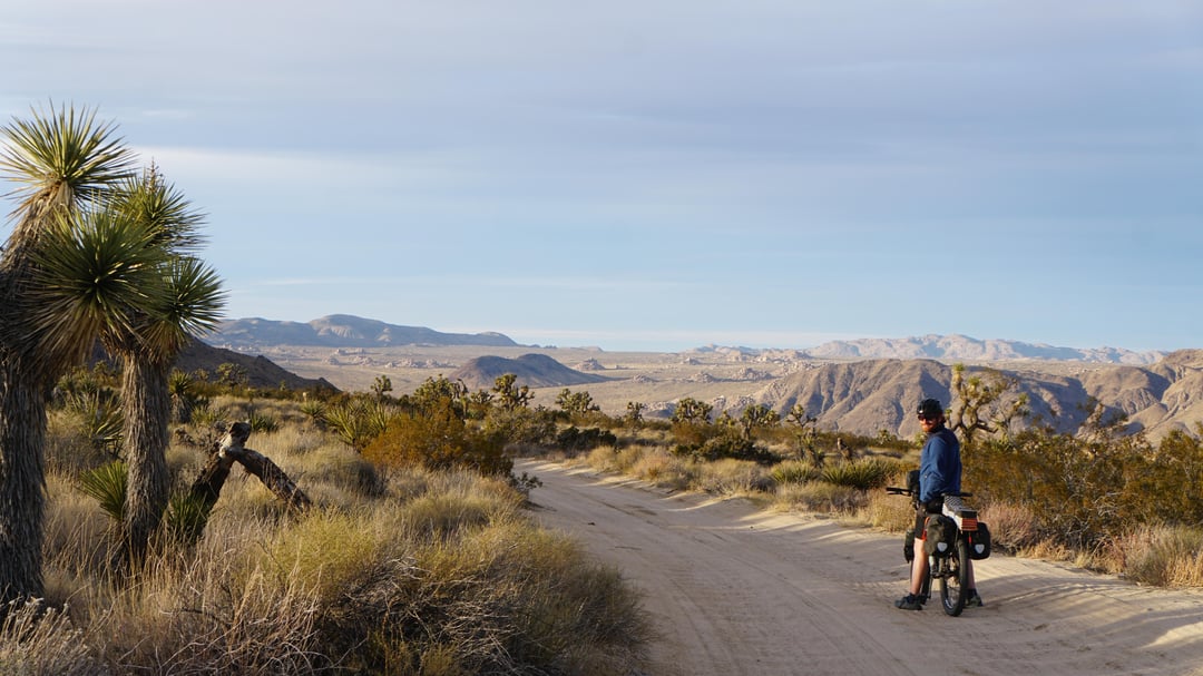
**Water**: Our max water carry was 45 miles, and temps were cool enough that we had plenty left over (we both had max capacity of 7.5 liters). We didn’t rely on any natural sources (we only saw 1 that was an option), and filled up exclusively in towns or public campgrounds. We wound up bumming water off of people in J Tree because we were not about to carry 2.5 full days of water on a 5,000 foot climb into the Park.
​
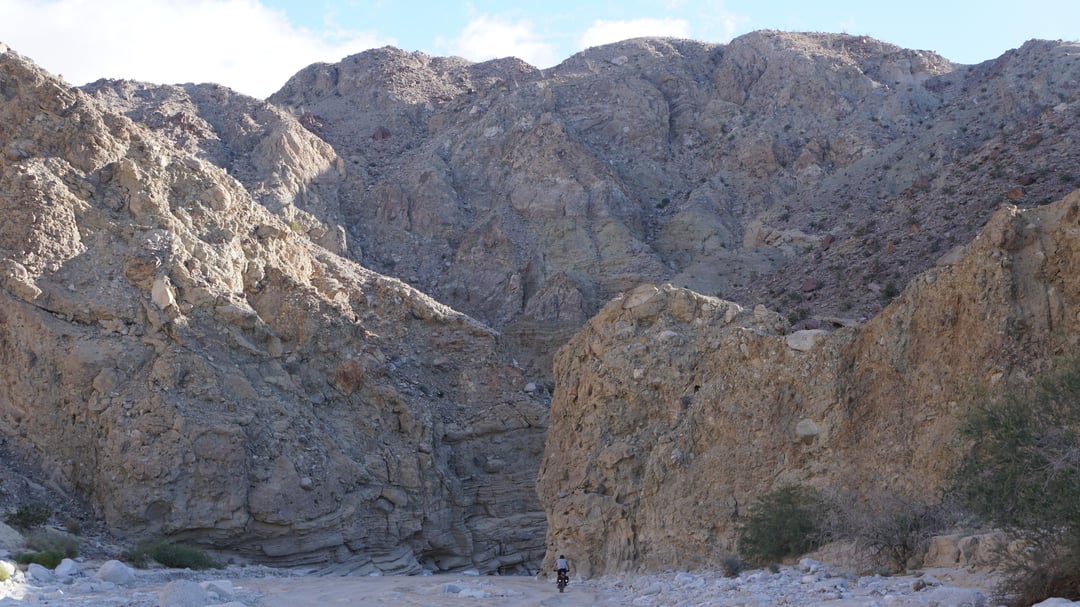
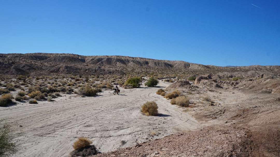
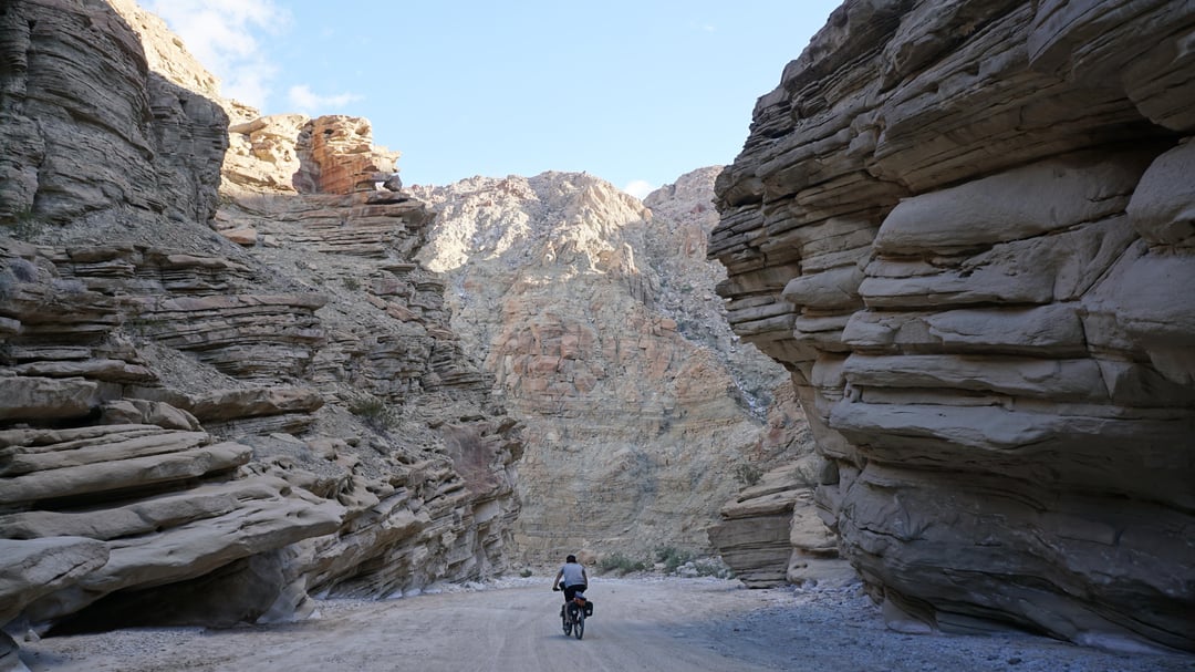
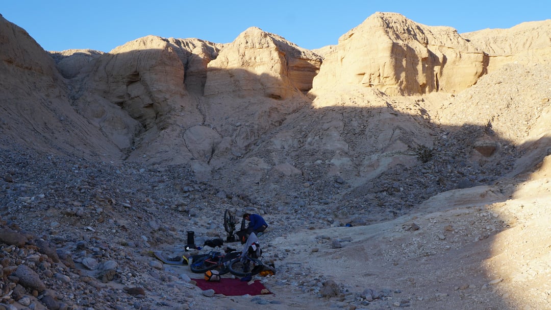
**Terrain**: I would guess 25-30 percent asphalt. There were about 50 miles of dry washes (Canyon Sin Nombre, Arroyo Seco Del Diablo, Oriflamme Canyon and Fish Creek Wash) which had a lot of deep sand, so much that I’d have to hop off and walk every now and then. Other than two 5,000 foot climbs, the route is almost entirely flat. Deep sand and headwinds took the place of uphills and kept our daily mileages in the 30s throughout the trip.
​
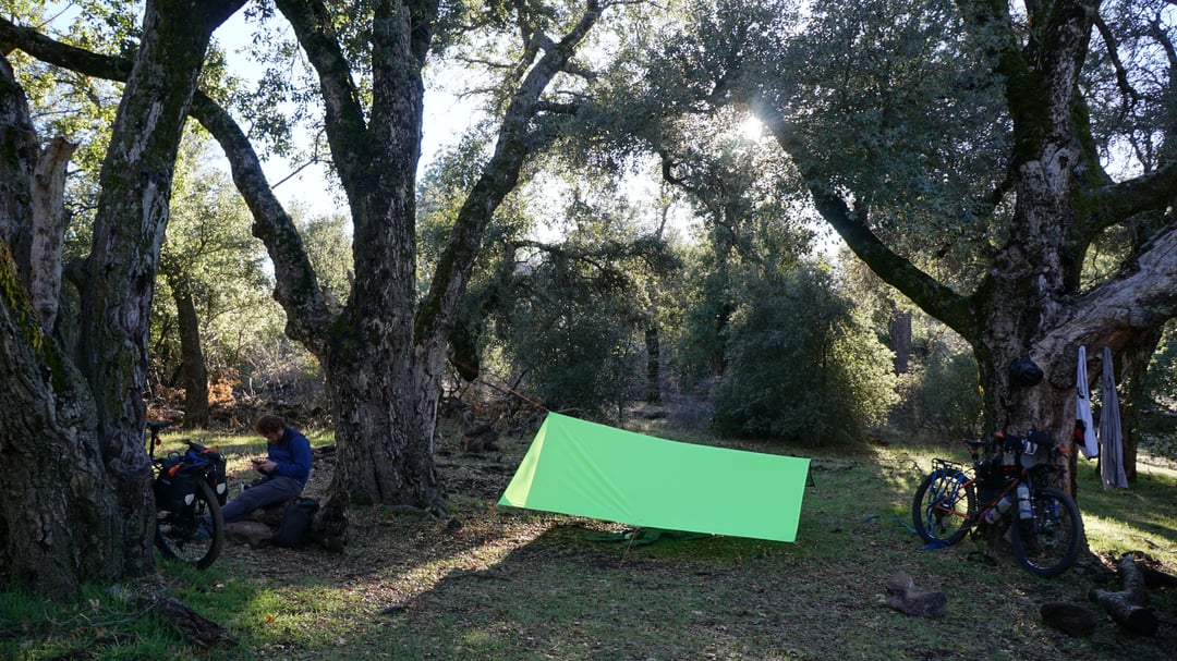
**Weather**: We were on this route in early January. Nights would be in the high 20s F (-3 C), and days in the lower desert would get into the mid-high 70s (20-23 C). No rain, although we did get hit with a solid 30-40 mph headwind on the last 10 miles of the ride. Going up Mt. Laguna we hit a few patches of snow, but otherwise we got lucky with precipitation.
​
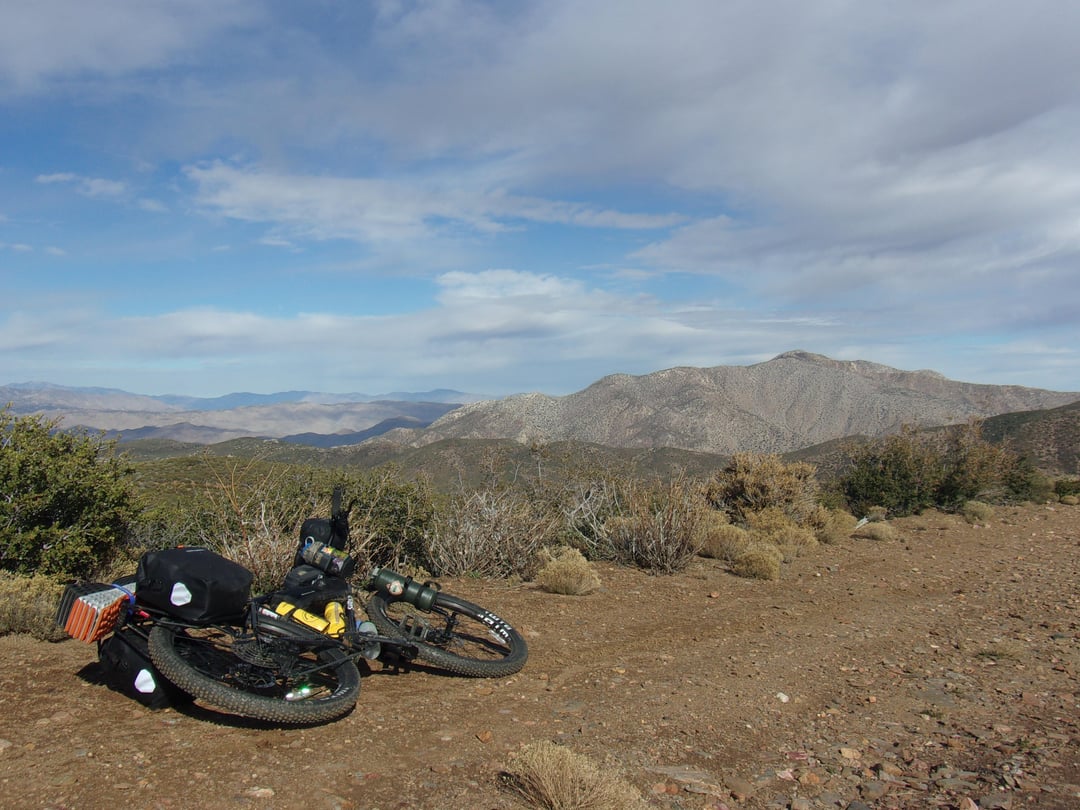
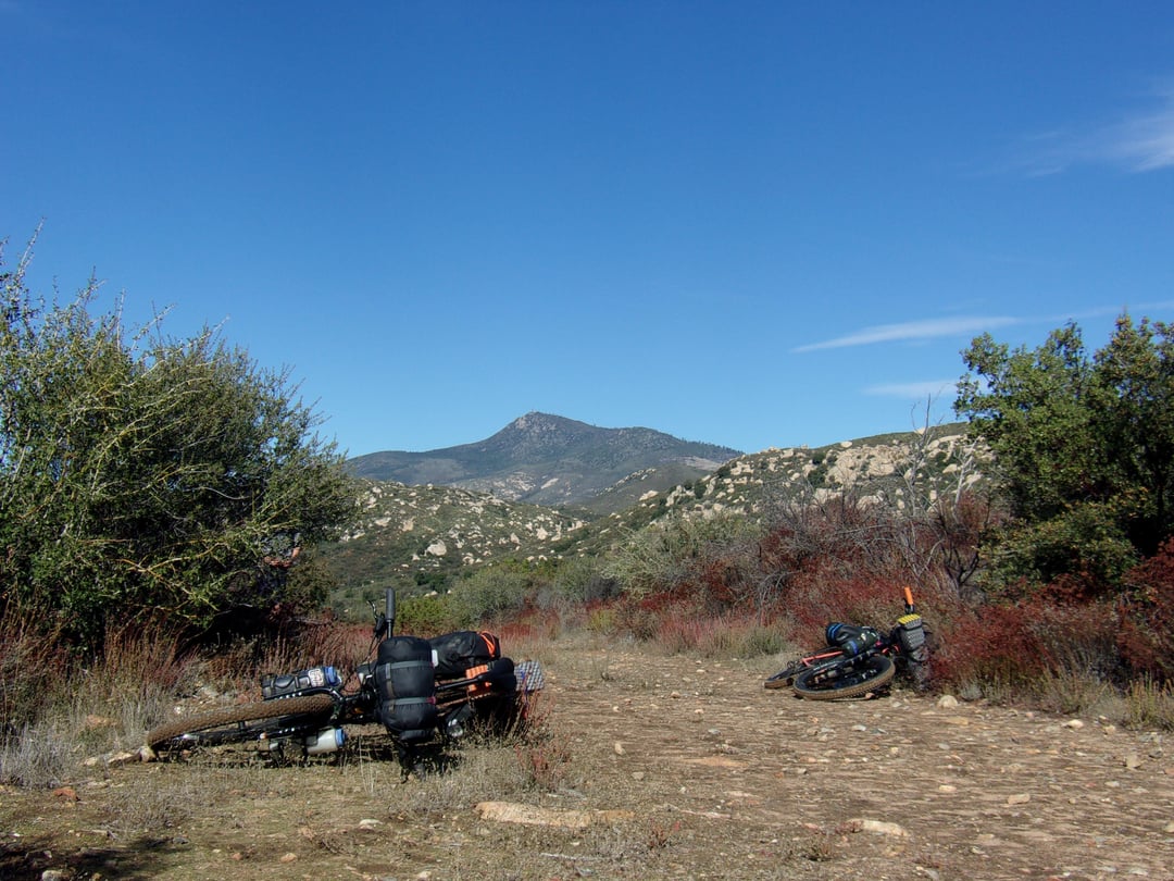
**Bikes**: Surly Bridge Club 2.4″ tires and Surly Karate Monkey 2.8″ tires

2 Comments
Water stops?
Spent 7 days on a variation of this route: [https://bikepacking.com/routes/socal-desert-ramble/](https://bikepacking.com/routes/socal-desert-ramble/)
We chose to start in Alpine to avoid private property issues and end in Yucca Valley to avoid the snow in Big Bear. Went along the west side of the Salton Sea rather than the east. And instead of going through Borrego Springs, we biked 20 miles through Ocotillo Wells OHV area (that was interesting, as you might imagine lol). Other than that, we stayed true to the route as much as we could.
​
**Water**: Our max water carry was 45 miles, and temps were cool enough that we had plenty left over (we both had max capacity of 7.5 liters). We didn’t rely on any natural sources (we only saw 1 that was an option), and filled up exclusively in towns or public campgrounds. We wound up bumming water off of people in J Tree because we were not about to carry 2.5 full days of water on a 5,000 foot climb into the Park.
​
**Terrain**: I would guess 25-30 percent asphalt. There were about 50 miles of dry washes (Canyon Sin Nombre, Arroyo Seco Del Diablo, Oriflamme Canyon and Fish Creek Wash) which had a lot of deep sand, so much that I’d have to hop off and walk every now and then. Other than two 5,000 foot climbs, the route is almost entirely flat. Deep sand and headwinds took the place of uphills and kept our daily mileages in the 30s throughout the trip.
​
**Weather**: We were on this route in early January. Nights would be in the high 20s F (-3 C), and days in the lower desert would get into the mid-high 70s (20-23 C). No rain, although we did get hit with a solid 30-40 mph headwind on the last 10 miles of the ride. Going up Mt. Laguna we hit a few patches of snow, but otherwise we got lucky with precipitation.
​
**Bikes**: Surly Bridge Club 2.4″ tires and Surly Karate Monkey 2.8″ tires