
Afternoon all,
I’m planning to cycle as much of the route of the GR5 between Geneva and Nice as I can this summer in about 12 days, and staying in refuges and sometimes hotels. (Roughly the route depending on cycling restrictions)
I need help with two items on the planning.
**Navigation**
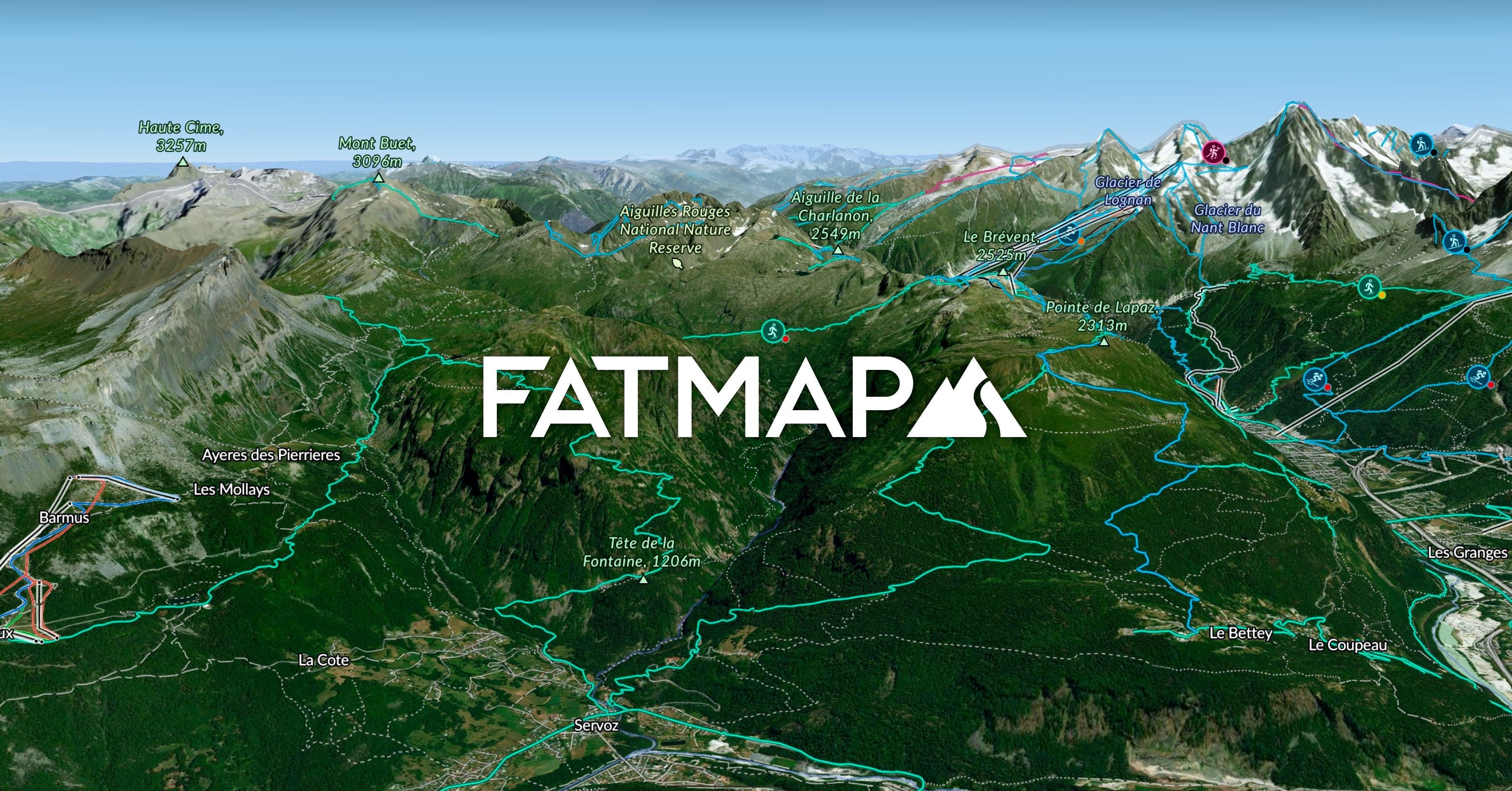
I have mostly planned the route and split it up into my expected days so that I can book refuges and hotels. Did the routing using [fatmap.com](https://fatmap.com)
I don’t know how best to follow this route on the go, I was thinking of buying a garmin and downloading the topography onto it from [OpenTopoMap Garmin Maps](https://garmin.opentopomap.org/) and using this.
Has anyone got experience with this, and does it work well?
Which garmin do people recommend?
(Can use phone intermittently, but don’t want to rely on it as it overheats, battery drains, etc etc)
​
**Capacity**
Within my planned route, so far I have two brutal days…
Day 3 – 67km – 3800m climb (3600m descent)
Day 7 – 49km – 2500m climb (2600m descent)
My fitness level is pretty good, I would go for either of these days normally during the summer but as a one off, not as part of a multi day tour. 34YO 80kg, 185cm, pretty sporty.
Who thinks this is too ambitious and to try and split these days?
​
by Extra_Homework_9040