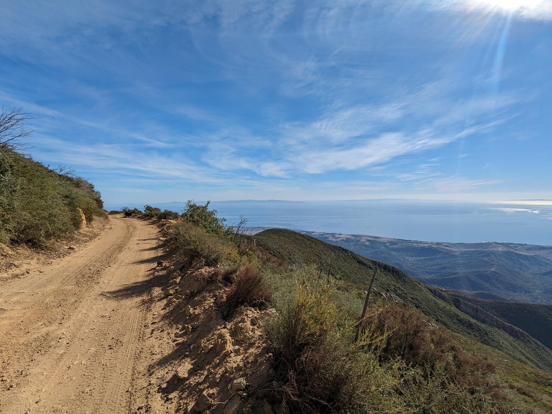
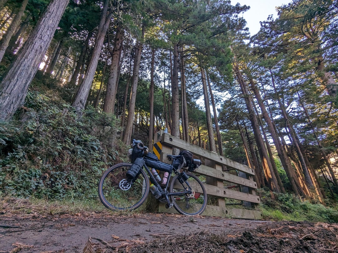
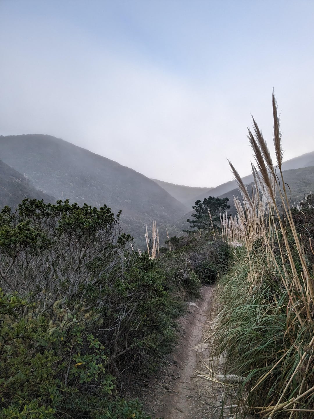
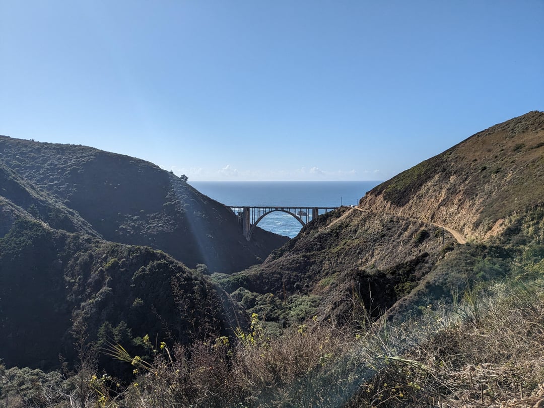
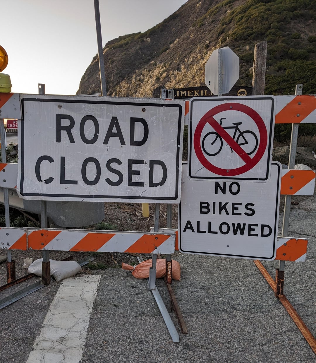
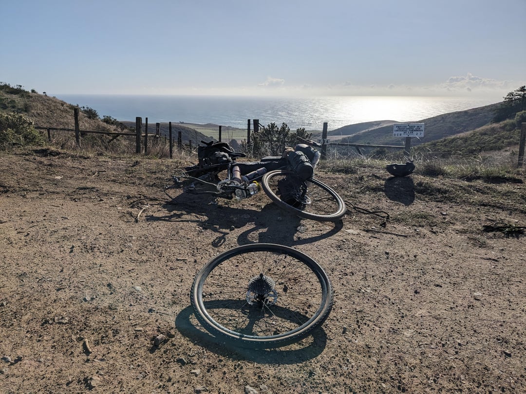
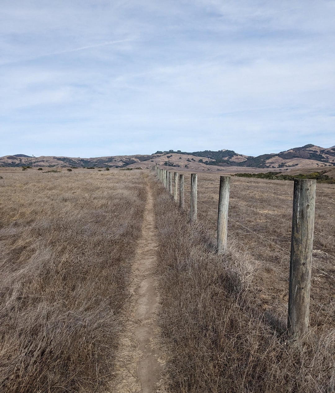
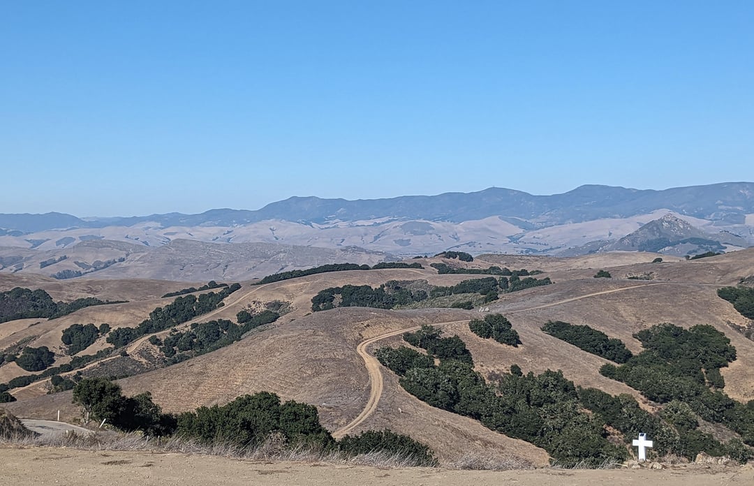
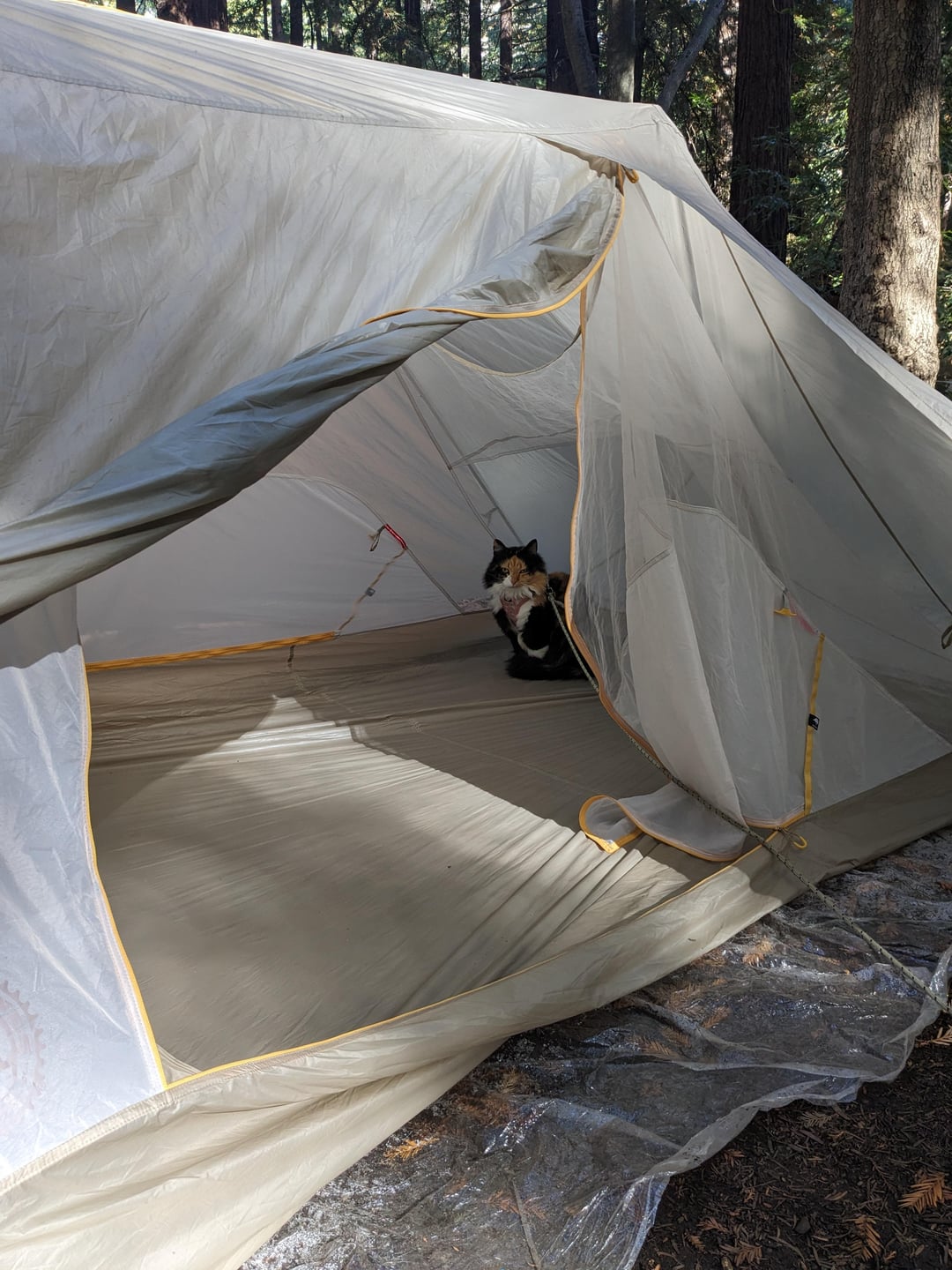
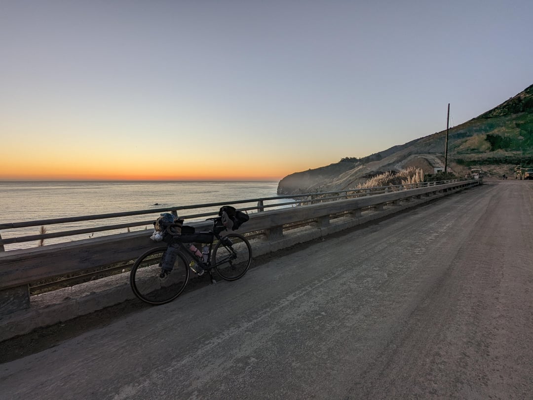
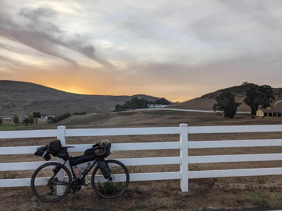
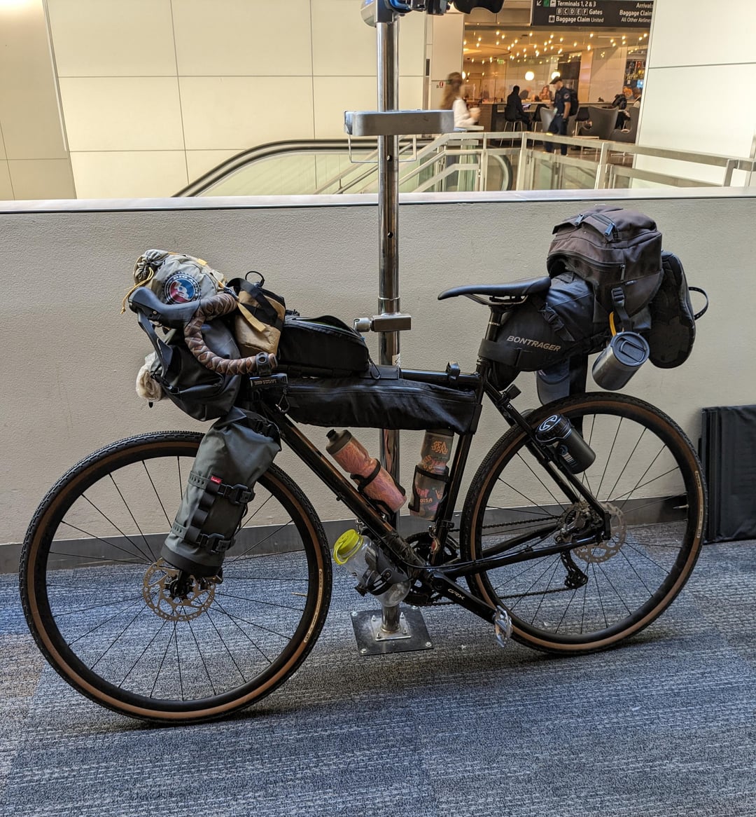
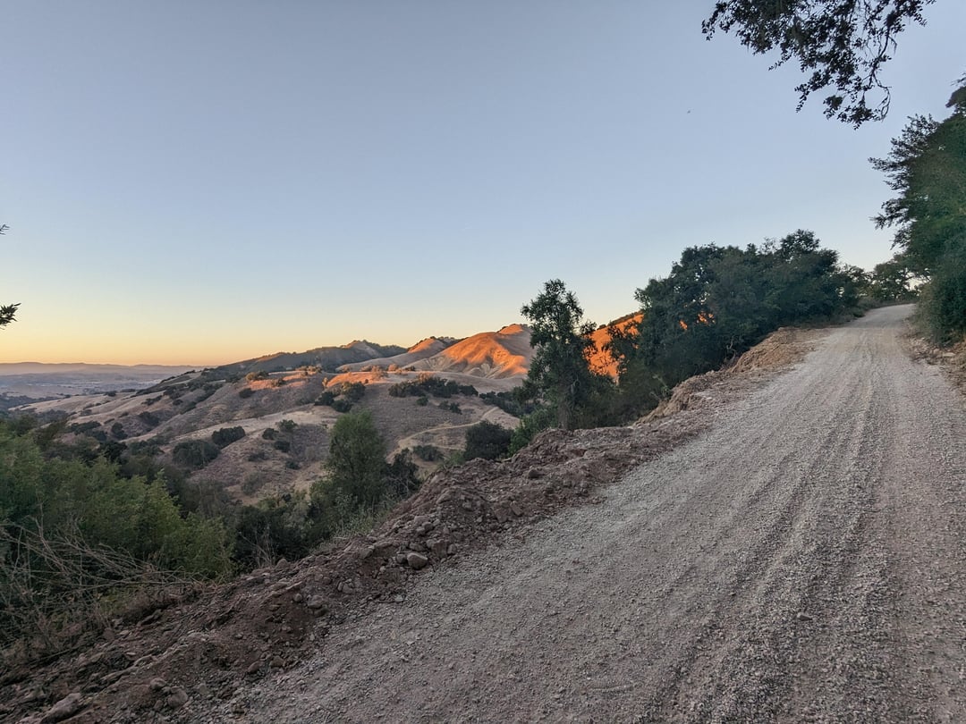
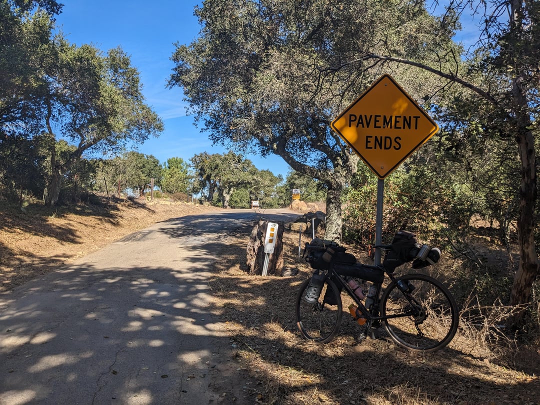
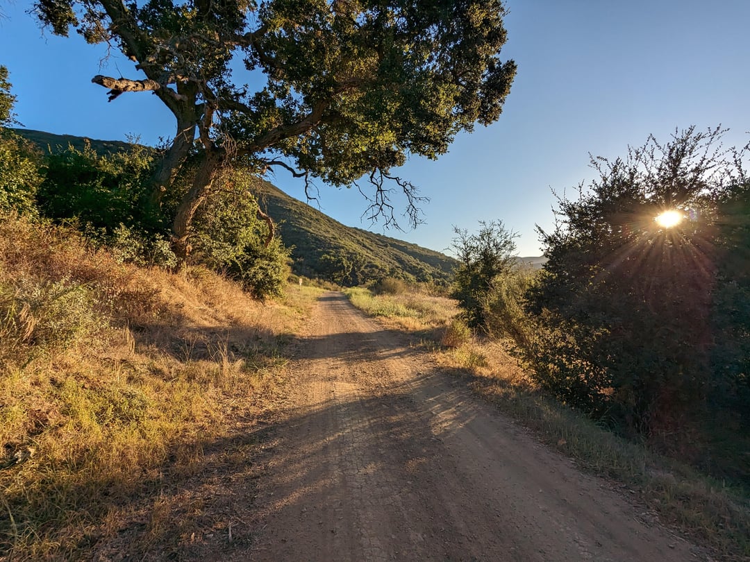
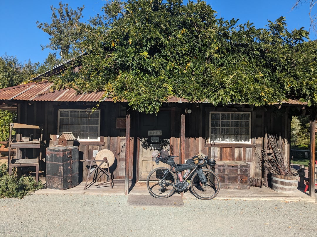
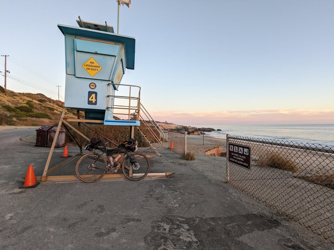
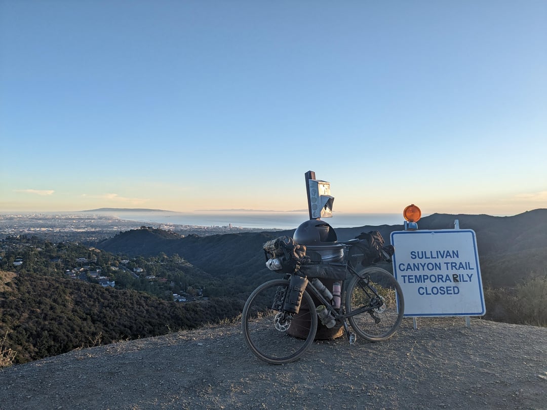
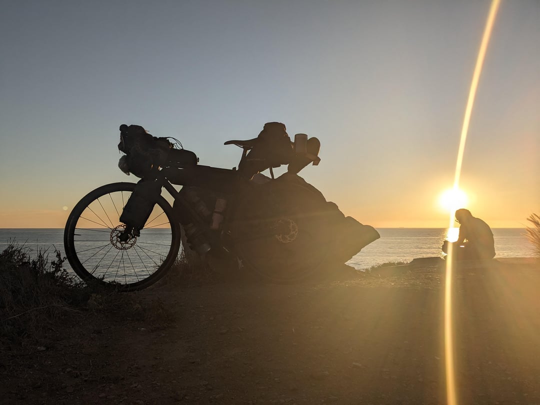
Approximately 930 km/580 miles, 12,000 m/39,000 ft/1.36 Everests elevation gain, 12% unpaved (please don’t ban me), and another good chunk that was paved but not somewhere you would take a rental sedan or even a road bike. I left directly from San Francisco Airport (they have repair stands!) and limped into Santa Monica 11 days later after getting my third flat of the trip about 20 minutes out from my final destination. I only had about a week to plan so I think with a bit more prep you could get the unpaved % up. Old Coast Rd in Big Sur (pics 2, 4, 6) and Camino Cielo near Santa Barbara (pics 1, 14) were highlights. Mostly adjacent to the very well-traveled ACA touring route so logistics were a breeze. Get out there soon before Highway 1 fully reopens to vehicle traffic!

1 Comment
Approximately 930 km/580 miles, 12,000 m/39,000 ft/1.36 Everests elevation gain, 12% unpaved (please don’t ban me), and another good chunk that was paved but not somewhere you would take a rental sedan or even a road bike. I left directly from San Francisco Airport (they have repair stands!) and limped into Santa Monica 11 days later after getting my third flat of the trip about 20 minutes out from my final destination. I only had about a week to plan so I think with a bit more prep you could get the unpaved % up. Old Coast Rd in Big Sur (pics 2, 4, 6) and Camino Cielo near Santa Barbara (pics 1, 14) were highlights. Mostly adjacent to the very well-traveled ACA touring route so logistics were a breeze. Get out there soon before Highway 1 fully reopens to vehicle traffic!