
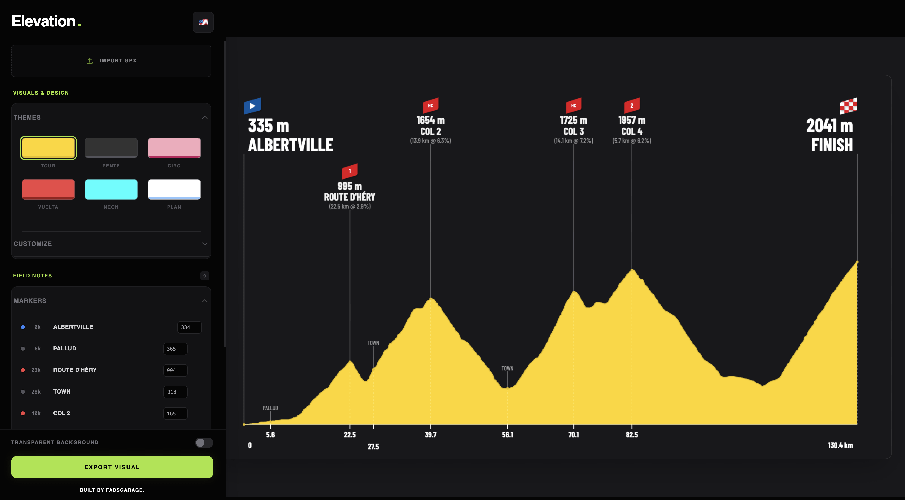
You simply need to upload the GPX file for your trace.
It will automatically fetch the points of interests names, climb categories, elevation, etc…
Points on the graph can be dragged
There is a few personalisation options like curve, area and text colors / opacity.
Once you’re satisfied, you can export the graph with a transparent background.
Feel free to tag me on instagram : faabb.cc if you were to use those in stories or posts there
Merry Christmas to all
P.S : there is no Christmas theme (yet)
You can check it out for free : elevation.fabsgarage.com
by m0rggy