
Tossing a report in here for future reference for both myself and any others looking to learn about the trail. Trip was mid to late August.
#Planning/Training
Went from Rochester to NYC, about 60ish miles a day with the last two days being shorter. Most of my planning was reading ride reports here on Reddit, looking over the EST website and doing some searching on google maps. Training was biking to work a lot (16 miles both ways) and did some 40 mile days the weeks leading up to when I left. Could have trained some more, especially to get my body used to being on the bike all day. Early on this was harder than endurance or muscle.
#Gear
**Bike** – Surly Bridge Club, stock except Nitto Bullmoose bars, and pedals. 700×41 trires ( I’ve read people saying you can do EST on 28 tires, I would not do that personally as it would be pretty uncomfortable and difficult riding in some of the finer crushed gravel and unmaintained canal path.)
**Cooking** – Trangia alcohol stove, Snow Peak Titanium Trek 700 pot, Vargo Hexagon Wood Stove (used as wind screen for Trangia and backup stand alone stove option)
**Shelter/sleep/camp** – Tarptent Double Rainbow tent, Bishop Pass 30 bag, self inflating pad, camp pillow, REI ultra light camp chair
**Bags** – Fabio’s Chest small waxed cordura, Swift Industries half frame bag, Salsa Anything cage with dry bag strapped in, Revelate Designs Mountain Feedbag, Ortlieb Seat-Pack Saddle Bag – 16.5 Liters, dry bag full of food strapped to a way too heavy rack on the back. (I brought too much gear, see the bottom of this post)
**Clothing** – I brought too much. All I needed in late August was: 2 merino shirts, 2 pairs of merino socks, a t-shirt and shorts(maybe) for if I go to town, 1 to 2 pairs of padded shorts, 1 pair of gym shorts for riding, merino wool top and bottom base layer (in event temp drops), Pattagucci TorrentShell for rain.
#Navigation
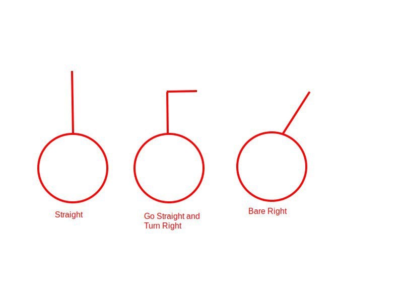
Navigation was generally quite easy. The signage in *most* places was quite good, and where it wasn’t I could use the red [spray paint markers on the road/path](https://ibb.co/g4v9y2w) as *suggestions* (sometimes they will send you off in the wrong direction if you’re not careful) where there was lacking signs. Outside that i would just use Google Maps with the bike lane filter. I downloaded the offline maps for the areas in the settings but except for the Nassau to Kingston stretch, reception was good.
#Lodging
Night 1 – Lyons NY Fire Department lawn (*highly recommended*, nice little bar/restaurant next door. They let you use the toilet/showers from 7am – 9pm and you can camp in their back lawn. They mad chill and you can just roll up and let them know. Town was great too.
Night 2 – Hotel in Syracuse as Green Lake State Park was full.
Night 3 – Double Tree in Utica as buddy had injury to early stop. Highly recommend this if you’re looking for a hotel in the area. It is in the old Hotel Utica and is really beautiful, large rooms, bar and restaurant with surprisingly good food, decent price.
Night 4 – Lock 9 in Rotterdam Junction. Camped here with no issue, porta potty, outlet on one of the lock buildings for charging. Stewarts Gas Station right up the road for any needed resupply.
Night 5 – Dingman’s Family Campground outside Nassau NY. Only 5 miles off trail and 269 ft of climbing but at the end of the day it kicked my butt. Campground was fantastic though: owner is nice, #35 a night with water, shower, flushing toilets, power, and very quiet.
Night 6 – Hotel in Kingston (couldn’t find camping)
Night 7 – Hotel in Brewster (rain, but Nimham Mountain Multiple Use Area was an option)
Night 8 – Buddy’s place.
WarmShowers options didn’t end up working out for me and didn’t want to stealth camp as dealing with cops on vacation is a big no no. Also don’t want my ass woken up at 2AM, break all my shit down and maybe not find another spot and do a day with little to no sleep.
#Meals
Brought some Mountain House trail meals, mostly just to try some new ones. In the future I’d make my own trail meals and maybe bring a couple of those just for a treat. For lunch or if I wasn’t camping I’d just hit a restaurant. There are towns along the trial just about every 10 miles with gas stations and most have restaurants. Also check out [NY Craft Beer](https://newyorkcraftbeer.com/) and get their app (which has an EST filter) to find some local breweries to stop by for a beer and grub.
As said, *tons* of towns and gas stations along the way so I just loaded up on snacks every day (jerky, snickers, protein bars, nuts, etc). I’d always try to carry 2 days worth of snacks just so I had some flexibility. I also brought along some of those Gel goo packs which I’d take before i knew I was coming to a hill, it felt like those did something.
The only two stretches which were thin on food and water options were between Poughkeepsie and Brewster, and the road section from Hudson NY and the first crossing of the Hudson. Load up before that.
#The Good
Loved the small canal towns, street and country fairs we passed along the way. Savannah is very much trying to make themselves more hospital to the bikers who pass through, also liked Lyons, Amsterdam, Pittsford/Fairport. Hudson Valley from east of Albany to Kingston crossing of Hudson was very beautiful, lots of very old roads, farms and houses going back to the 1600s.
The breweries along the way had great food and good beer to boot. Glad I stopped at those. The people in the towns were great to talk to as well, especially along the Canal, once you hit Hudson you get kind of wealthier people who don’t really want to talk to anyone and it gets a little lonely imo.
I enjoyed camping at the lock despite lack of facilities. Keeps you sort of connected to the canal and history in a way if not just for one night.
#The Bad
Some parts of the route were downright dangerous:
* The 2-3 miles of road south of Hudson was *very* busty, fast, small shoulder, and a steep climb going south. It was fucking awful and for the route setters to put the trail there was down right reckless.
* There is an on-road detour at Poughquag and Stormville which was similarly dangerous. Little to no shoulder on fast hilly road.
The signage and routes in cities sucks. Syracuse, Schenectady, Albany, NYC. Just google maps it, I don’t think I was even on the route in those cities.
There is a politics of where the trail is placed, some towns like Rome NY or Schenectady will move the trail through their town/city to bring in more business or showcase their nice neighborhoods. Its kind of bullshit as there is a perfectly good rail/canal/river path you could be using. Just be aware and divert if you don’t want to deal with the roads and traffic.
#Things I would do Different
**Pack Lighter** – I would slim down on clothes as mentioned above. Didn’t need to bring: camping trowel/TP, a 30 degree bag if i also have merino base layer (lighter quilt or bag), a 2 person tent (could do 1), make space to eliminate the rear rack completely.
**Ride planning** – I was doing 60 mile days. I’d either train more or bump it down to 50 or even 40 mile days and do some more exploring, and just take my time. Also I’m not sure I’d do the route south of Brewster but that’s just me, I live in NYC and that area is not very interesting to me. I’d like to do more camping next time as well.
**History** – I would have stopped to read more of the historical placards along the route. Some were very interesting and added context to where I was, and I found my self thinking about what I had learned miles later. I would also maybe get a book on tape about the Hudson/erie canal just to add some more history involving the towns and places I was passing through.
**Cockpit** – Would get bar ends or something so I could switch up my hand positions, or maybe even use different bars.
by BikeBurner161