
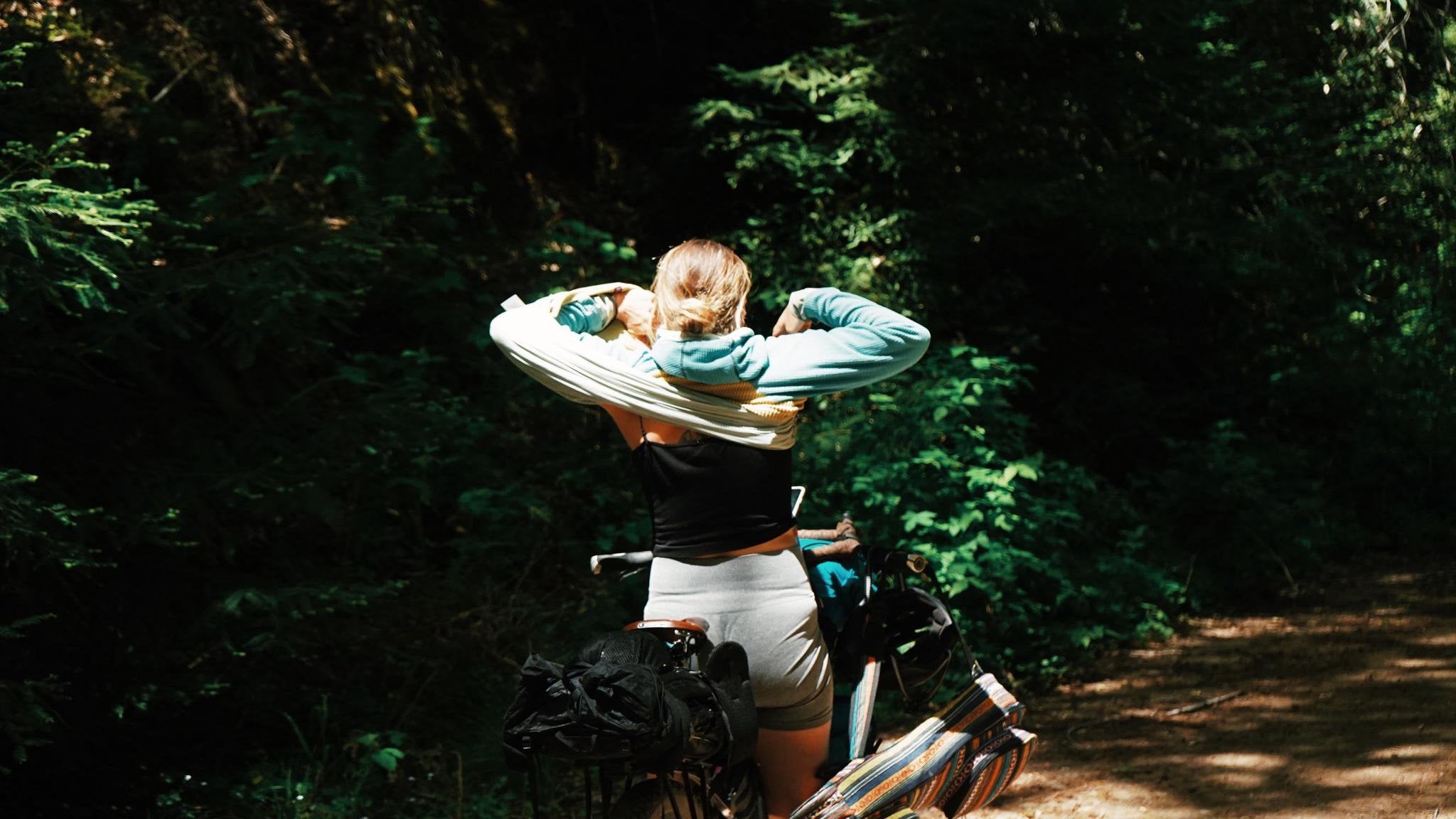
In Gualala, CA, there’s an incredibly beautiful adventure that leads to a 100-year-old natural hot spring on the Garcia River. It travels through old growth logging land and a gorgeous river valley. Here are some details and a trip report.
Side note: this is barely suitable for bicycles. I would recommend hiking, but because we biked it, I’ll share.
TL;DR: bike and hike to an old hot spring. Remote, dangerous, fun, hot, beautiful.
[Pics](https://imgur.com/a/7eRyoeh)
Gear:
-2 Surly Karate Monkey
-2.6” Mezcals
-4 days of food (unnecessary)
-Hiking gear (shoes and packs)
-Water filter
-first aid (we didn’t have any but we should’ve)
Time: 2-3 days
Starting in Gualala town, head towards Gualala Rd and continue until you reach a gate. The road to the gate passes a campground and follows a rough paved road. About 2 miles into the ride, you’ll approach a bridge. Go left before the bridge onto a gravel road and stay left. Once you reach the gate, continue onward. Time this wisely – the logging operation seems to be active and it is trespassing. However, the logging road is pristine and offers many places to stealth camp.
Keep right for the next 3 miles, then keep left. Eventually you’ll reach another gate which touches Fish rock road. You can cycle over the mountain to fish rock road on public road if you want – it follows one of the main roads.
Continue straight across fish rock and you’ll approach another gate with a ton of trash. Keep going. This path is also gorgeous, through beautiful forest and following a river. This is where the route gets tricky – I recommend having Gaia GPS on your phone.
Eventually you’ll find a steep gravel logging heading heading up and then right. Ride (or walk) your bike up this hill. The roads on the map won’t match up – just keep climbing. There will be multiple times where you can descend – they’re traps. They all dead end. Just keep climbing away from the valley.
You’ll reach a point where you’ve descended a bit on the main road and there will be a road on the left heading down in the direction of the river (Photo 3). It’s less of a road and more of a clearing with grass. At the end (60ft/19m) of this “road” there will be a left turn. There is a tree to cross and a few bumps. Follow it until you reach a big washout. The washout has a trail crossing it and then road on the other side. don’t cross the washout – go right into the forest. There’s an old logging road with 20yr+ trees. Once you get into the flattish area, make another right – this is essentially a U-turn that gets you around the embankment on the side of the last road. Continue straight. There’s no riding from this point on, so ditch your bike or hike it. We continued with our bikes for another 3 miles.
As you continue down this overgrown forest road, you’ll be dodging and jumping over fallen trees and branches (Photos 4-6). They’re usually small but still annoying. You’ll eventually reach another landslide and there won’t be a road on the other side, just a steep drop on the left that flattens out and hits the river. That’s where you’re going. (Photos #7-8)
We lowered our bikes down the cliff side bit by bit and then cross the river (waist deep in April) with our bicycles. You’ll find a Rocky embankment on the other side (like Photo 9). From here on, you’ll hike up the river. Just keep on going. You’ll cross the river a dozen times or so and you’ll be walking/pushing across rocks the whole time. at some point, it looks like the river splits in two and rejoins. You’ll know you’ve passed this spot when you come to a large area of water with a big rock outcropping on one side and a steep cliff on the other side. Depending on the time of year, this is crossable. When we went, it was shoulder deep. We left our bicycles here.
From this point, it’s a 2 hour walk to the spring. There aren’t any tips I can give other than keep you pack above your head when the water gets deep and use a walking stick if you can.
As you continue, there will be less embankments and more walking up the river. Sometimes deep, usually shallow. After a while there will be a small waterfall in the center of the river. There will be a rock outcropping on the left and a small bank with trees and plants on the right. Take the right side to cross the waterfall.
You’re almost there! Across the River, there’s a small beach with a rope swing and maybe a pile of sticks for a fire. Cross the River (chest deep) and set your gear down. On the side of the beach is a giant rock with a tree growing next to the water. Find your way around this rock. You can swim or climb over the side (close to the water). Keep going and keep your eyes on the left side of the rock as you climb it. Slightly above the height of the river will be two cement boxes with pipes flowing into them. This is the defunct hot spring – it has around 108°F waters and most likely will have nobody there.
We camped on this beach. Sorry, no photos of the hot spring – camera died.
Note: looking at the Gaia map for forest service roads (MVUM), you’ll see a forest road that snakes up the Garcia river gorge. Don’t take it! We tried multiple times and everytime had to literally climb down 50-100ft cliffs with our fully loaded touring bikes. It was ridiculously dangerous and the road isn’t passable. It has a ton of sketchy landslides and it’s completely overgrown. The river is easier although it’s still challenging.
On day one, we cycled 30miles to Gualala before beginning. We made it to the River that day and camped a few miles up stream. The next day we hike-a-biked farther up and Liz, my partner, got injured. A rock slid into her shin and she started her moon. We ditched the bicycles in the woods and packed out hiking bags for 2 days and 1 night (we left our bikes before the first chest deep crossing).
There’s a beautiful waterfall shortly after that crossing. She stayed there while I hiked an hour farther looking for the spring. I didn’t find it so I came back to get here and we decided to make one last push. We made it to the spring just before sunset on day 2. We hiked back to our bikes, retraced all of our steps (even climbing the landslide) and road all the back to Gualala on day 3. The hot spring can be reached in a day and I’d recommend taking 2 days to do the whole thing.
by sunnytoes22